
| Distance / Altitude | Location | Report Date / Time | Live Weather | Wind | Gusts | Temp. | Visibility | Cloud |
|---|---|---|---|---|---|---|---|---|
| 4 km S / 3 m | BUOY-CDEA2 (Marine) | 2025-12-26 02:22 local (2025/12/26 11:22 GMT) | calm (4 km/h at 290) | -5°C | - | |||
| 83 km SE / 206 m | Klawock Airport (Alaska) | 2025-12-26 00:53 local (2025/12/26 09:53 GMT) | Light snow | light winds from the NE.(Wind varies from 330 to 060 degs) (19 km/h at 40) | -2°C | 14 | overcast | |
| 88 km SE / 3 m | BUOY-CRGA2 (Marine) | 2025-12-26 02:24 local (2025/12/26 11:24 GMT) | light winds from the E (15 km/h at 90) | -5°C | - | |||
| 89 km E / 3 m | BUOY-LCNA2 (Marine) | 2025-12-26 02:10 local (2025/12/26 11:10 GMT) | strong winds from the NNW (42 km/h at 330) | -5°C | - | |||
| 104 km N / 215 m | Kake Airport (Alaska) | 2025-12-26 00:56 local (2025/12/26 09:56 GMT) | Dry and partly cloudy | light winds from the N (13 km/h at 350) | -8°C | 16 | scattered | |
| 105 km NE / 15 m | SHIP7115 (Marine) | 2025-12-26 01:00 local (2025/12/26 10:00 GMT) | light winds from the SSE (11.16 km/h at 150) | — | - km | |||
| 105 km NE / 3 m | SHIP2911 (Marine) | 2025-12-26 00:00 local (2025/12/26 09:00 GMT) | light winds from the SSE (9 km/h at 150) | -10°C | - | |||
| 105 km NE / 15 m | SHIP5857 (Marine) | 2025-12-26 00:00 local (2025/12/26 09:00 GMT) | light winds from the SSE (9.360000000000001 km/h at 150) | — | - km | |||
| 105 km NE / - m | SHIP1246 (ocean) | 2025-12-26 02:00 local (2025/12/26 11:00 GMT) | - | light winds from the SSE (15 km/h at 150) | -10°C | - | no observation | |
| 105 km NE / - m | SHIP490 (ocean) | 2025-12-26 02:00 local (2025/12/26 11:00 GMT) | - | light winds from the SSE (15 km/h at 150) | -10°C | - | no observation |
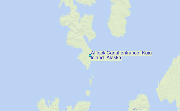
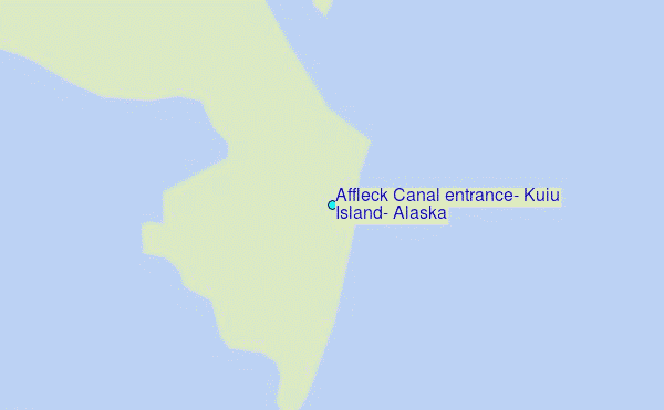
Choose Affleck Canal entrance, Kuiu Island, Alaska Location Map Zoom:
| Contours: | Roads & Rivers: | Select a
tide station / surf break / city |
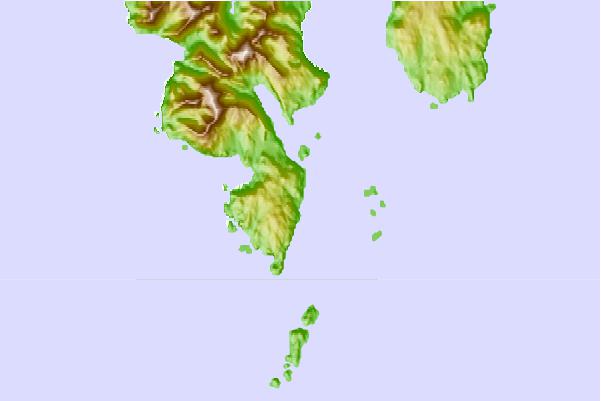
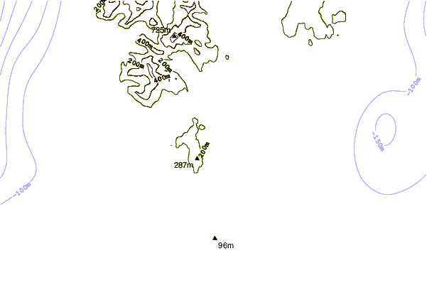
Use this relief map to navigate to tide stations, surf breaks and cities that are in the area of Affleck Canal entrance, Kuiu Island, Alaska.
Other Nearby Locations' tide tables and tide charts to Affleck Canal entrance, Kuiu Island, Alaska:
click location name for more details
 Surf breaks close to Affleck Canal entrance, Kuiu Island, Alaska:
|
||
|---|---|---|
| Closest surf break | Lepus Beach (Haida-Gwaii) | 136 mi |
| Second closest surf break | Tow Hill Beach | 163 mi |
| Third closest surf break | Cannon Beach | 317 mi |
| Fourth closest surf break | Graveyards | 321 mi |
| Fifth closest surf break | Ocean Cape | 322 mi |


 Nearest
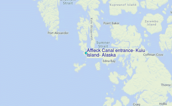