
| Distance / Altitude | Location | Report Date / Time | Live Weather | Wind | Gusts | Temp. | Visibility | Cloud |
|---|---|---|---|---|---|---|---|---|
| 6 km SE / 18 m | Agadir (Morocco) | 2025-12-25 07:00 local (2025/12/25 06:00 GMT) | - | wind obs. (9 kph from 120 degs) was rejected (- km/h at -) | — | 6 | - | |
| 22 km ESE / 185 m | AL Massira/Inezgane Airport (Morocco) | 2025-12-25 07:30 local (2025/12/25 06:30 GMT) | Dry and partly cloudy | light winds from the SW (9 km/h at 220) | 13°C | 6.0 | scattered scattered broken | |
| 23 km ESE / 74 m | AïtMelloul (Morocco) | 2025-12-25 07:00 local (2025/12/25 06:00 GMT) | Continuous light rain | wind obs. (13 kph from 190 degs) was rejected (- km/h at -) | 13°C | 26 km | overcast | |
| 77 km E / 266 m | Taroudant (Morocco) | 2025-12-25 07:00 local (2025/12/25 06:00 GMT) | - | wind obs. (6 kph from 80 degs) was rejected (- km/h at -) | — | 10 | - | |
| 82 km S / 260 m | Tiznit (Morocco) | 2025-12-25 07:00 local (2025/12/25 06:00 GMT) | no report | light winds from the WSW (9 km/h at 250) | 16°C | - | - | |
| 109 km N / 206 m | Essaouira Aerodrme (Morocco) | 2025-12-25 07:00 local (2025/12/25 06:00 GMT) | - | wind obs. (28 kph from 60 degs) was rejected (- km/h at -) | — | 8 | - | |
| 122 km N / 49 m | Essaouira Airport (Morocco) | 2025-12-25 07:00 local (2025/12/25 06:00 GMT) | Dry and partly cloudy | light winds from the SE (7 km/h at 130) | 12°C | 5.0 | scattered broken - | |
| 128 km ENE / 1756 m | Takerkouste (Morocco) | 2025-12-25 07:00 local (2025/12/25 06:00 GMT) | - | - (- km/h at -) | — | 10 | - | |
| 129 km S / 151 m | Sidi Ifni (Morocco) | 2025-12-25 07:00 local (2025/12/25 06:00 GMT) | - | light winds from the SSW (9 km/h at 210) | 14°C | - | no observation | |
| 159 km S / 333 m | Guelmim Airport (Morocco) | 2025-12-25 07:00 local (2025/12/25 06:00 GMT) | Dry and partly cloudy | light winds from the WSW (15 km/h at 250) | 13°C | 8.0 | broken |
| Contours: | Roads & Rivers: | Select a
tide station / surf break / city |
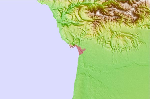
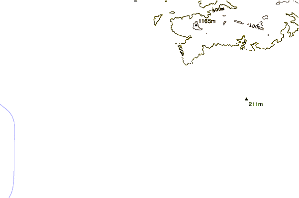
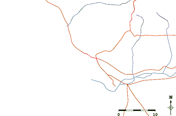
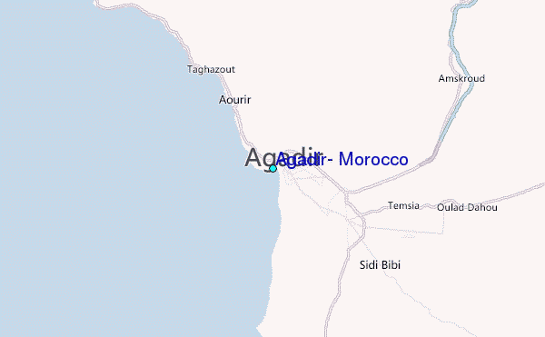
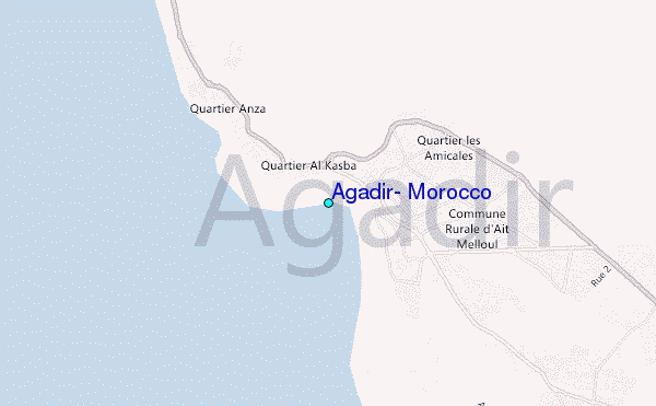
Use this relief map to navigate to tide stations, surf breaks and cities that are in the area of Agadir, Morocco.
Other Nearby Locations' tide tables and tide charts to Agadir, Morocco:
click location name for more details
 Surf breaks close to Agadir, Morocco:
|
||
|---|---|---|
| Closest surf break | Agadir | 1 mi |
| Second closest surf break | Anza | 1 mi |
| Third closest surf break | Banana Point | 7 mi |
| Fourth closest surf break | Devil's Rock | 7 mi |
| Fifth closest surf break | Banana Beach | 9 mi |


 Nearest
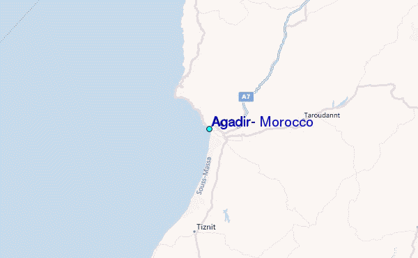