
| Distance / Altitude | Location | Report Date / Time | Live Weather | Wind | Gusts | Temp. | Visibility | Cloud |
|---|---|---|---|---|---|---|---|---|
| 59 km NE / 196 m | Región de Murcia International Airport- Corvera (Spain) | 2026-06-13 07:30 local (2026/06/13 05:30 GMT) | - | light winds from the NNW (13 km/h at 340) | — | 0.0 | ||
| 64 km W / 1038 m | Chirivel (Åland) | 2026-06-13 08:43 local (2026/06/13 06:43 GMT) | dry | calm (0 km/h at 234) | 12°C | - | - - 0 | |
| 66 km SSW / 397 m | NIJARMAR (Spain) | 2026-06-13 08:00 local (2026/06/13 06:00 GMT) | - | strong winds from the NNW (39 km/h at 340) | 21°C | - | - - 0 | |
| 67 km NNE / 53 m | Sangonera la Verde wx (Spain) | 2026-06-13 08:47 local (2026/06/13 06:47 GMT) | dry | calm (0 km/h at 0) | 20°C | - | - - 0 | |
| 68 km NNE / 381 m | Alcantarilla Airport (Spain) | 2026-06-13 08:30 local (2026/06/13 06:30 GMT) | - | calm (2 km/h at 1) | — | 0.0 | ||
| 75 km NNE / 62 m | Murcia (Spain) | 2026-06-13 08:00 local (2026/06/13 06:00 GMT) | - | light winds from the NW (11 km/h at 320) | — | 19 | - | |
| 77 km SW / 500 m | Tabernas III (Spain) | 2026-06-13 08:00 local (2026/06/13 06:00 GMT) | - | wind obs. (9 kph from 81 degs) was rejected (- km/h at -) | 22°C | - | - - 0 | |
| 78 km ENE / 4 m | Playa Honda wx (Spain) | 2026-06-13 08:09 local (2026/06/13 06:09 GMT) | dry | light winds from the NE (6 km/h at 45) | 23°C | - | - - 0 | |
| 79 km NNE / 70 m | Churra wx (Spain) | 2026-06-13 07:22 local (2026/06/13 05:22 GMT) | dry | - (- km/h at ) | — | - | - - 0 | |
| 79 km ENE / 3 m | San Javier wx (Spain) | 2026-06-13 08:44 local (2026/06/13 06:44 GMT) | dry | calm (2 km/h at 346) | 22°C | - | - - 0 |
| Contours: | Roads & Rivers: | Select a
tide station / surf break / city |
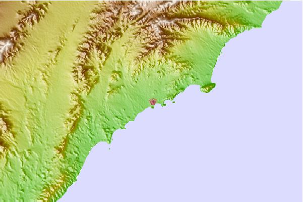
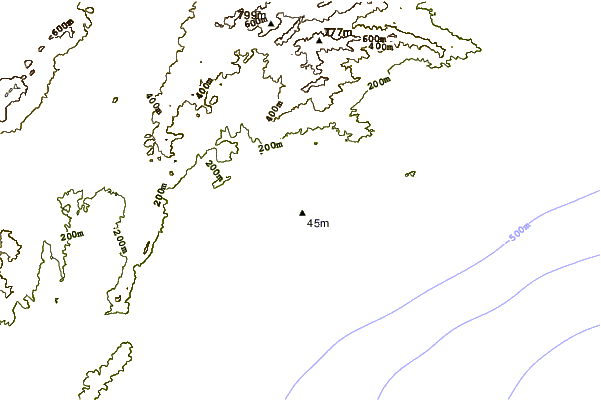
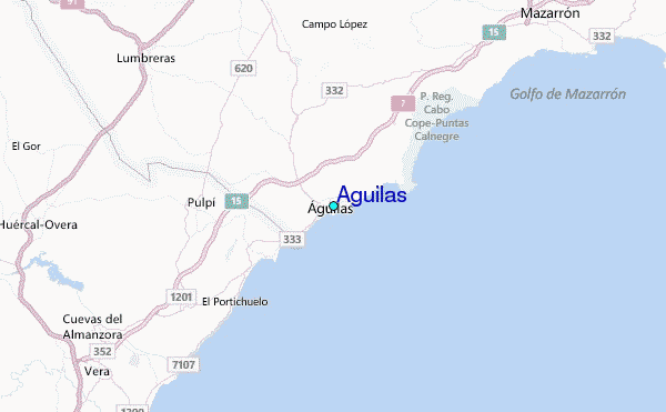
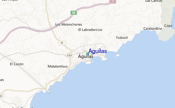
Use this relief map to navigate to tide stations, surf breaks and cities that are in the area of Aguilas.
Other Nearby Locations' tide tables and tide charts to Aguilas:
click location name for more details
 Surf breaks close to Aguilas:
|
||
|---|---|---|
| Closest surf break | Mojacar | 24 mi |
| Second closest surf break | La Manga | 50 mi |
| Third closest surf break | Playa de Entremares | 50 mi |
| Fourth closest surf break | Playa de Levante | 50 mi |
| Fifth closest surf break | Pico de el Errizo | 52 mi |


 Nearest
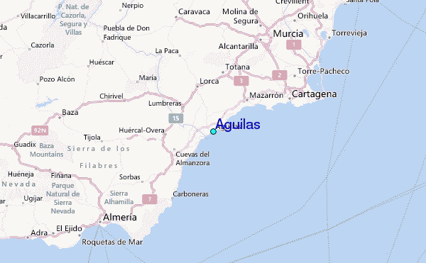