
| Distance / Altitude | Location | Report Date / Time | Live Weather | Wind | Gusts | Temp. | Visibility | Cloud |
|---|---|---|---|---|---|---|---|---|
| 2 km SE / 3 m | BUOY-HRRH1 (Marine) | 2025-12-24 21:30 local (2025/12/25 07:30 GMT) | light winds from the ENE (9 km/h at 70) | 24°C | - | |||
| 5 km ESE / 3 m | BUOY-MOKH1 (Marine) | 2025-12-24 21:36 local (2025/12/25 07:36 GMT) | light winds from the E (18 km/h at 100) | 24°C | - | |||
| 7 km E / 216 m | Kaneohe Bay Marine Corps Airfield Airport (Hawaii) | 2025-12-24 20:57 local (2025/12/25 06:57 GMT) | - | moderate winds from the E (20 km/h at 80) | 24°C | 0.0 | ||
| 9 km ENE / 3 m | Kaneohe Bay- WETS- HI (Marine) | 2025-12-24 21:26 local (2025/12/25 07:26 GMT) | - (- km/h at -) | — | - | |||
| 12 km SW / 132 m | Pacific Palisades wx (United States) | 2025-12-24 21:38 local (2025/12/25 07:38 GMT) | dry | calm (3 km/h at 95) | — | - | - - 0 | |
| 15 km SW / 3 m | BUOY-PRHH1 (Marine) | 2025-12-24 21:30 local (2025/12/25 07:30 GMT) | light winds from the NNE (13 km/h at 30) | 24°C | - | |||
| 16 km S / 3 m | BUOY-OOUH1 (Marine) | 2025-12-24 21:30 local (2025/12/25 07:30 GMT) | calm (5 km/h at 90) | 24°C | - | |||
| 17 km S / 15 m | SHIP3071 (Marine) | 2025-12-24 20:00 local (2025/12/25 06:00 GMT) | light winds from the E (11.16 km/h at 80) | 26°C | - km | |||
| 17 km S / - m | SHIP1323 (ocean) | 2025-12-24 20:00 local (2025/12/25 06:00 GMT) | No report | light winds from the E (9 km/h at 90) | 24°C | - | no observation | |
| 17 km S / - m | SHIP160 (ocean) | 2025-12-24 21:00 local (2025/12/25 07:00 GMT) | No report | light winds from the ENE (15 km/h at 60) | 24°C | - | no observation |
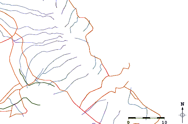
| Contours: | Roads & Rivers: | Select a
tide station / surf break / city |
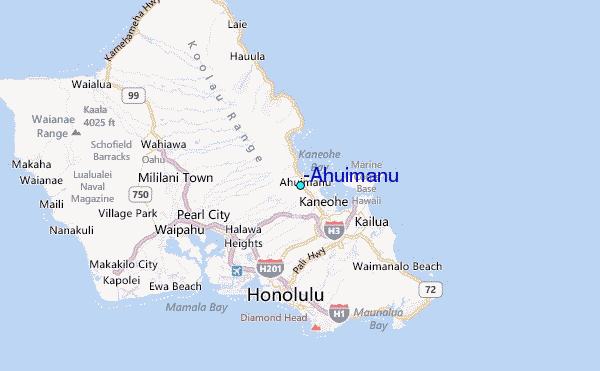
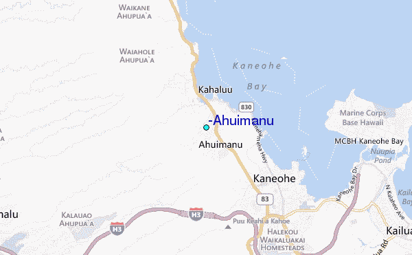
Use this relief map to navigate to tide stations, surf breaks and cities that are in the area of 'Ahuimanu.
Other Nearby Locations' tide tables and tide charts to 'Ahuimanu:
click location name for more details
 Surf breaks close to 'Ahuimanu:
|
||
|---|---|---|
| Closest surf break | Ripps Reef | 3 mi |
| Second closest surf break | Chinamans Hat/Mokolii | 5 mi |
| Third closest surf break | Pyramid Rock | 6 mi |
| Fourth closest surf break | Castles Beach | 6 mi |
| Fifth closest surf break | Kualoa Point | 6 mi |


 Nearest
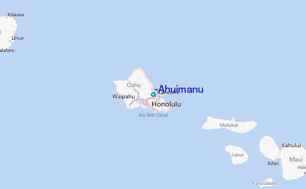