
| Distance / Altitude | Location | Report Date / Time | Live Weather | Wind | Gusts | Temp. | Visibility | Cloud |
|---|---|---|---|---|---|---|---|---|
| 23 km NE / 214 m | Seward Airport (Alaska) | 2024-04-26 11:53 local (2024/04/26 19:53 GMT) | Dry and partly cloudy | light winds from the S (7 km/h at 180) | 6°C | 16 | broken | |
| 24 km NE / 3 m | BUOY-SWLA2 (Marine) | 2024-04-26 13:00 local (2024/04/26 21:00 GMT) | - (- km/h at -) | — | - | |||
| 24 km NE / 3 m | BUOY-SWXA2 (Marine) | 2024-04-26 13:35 local (2024/04/26 21:35 GMT) | light winds from the SSE (11 km/h at 150) | 6°C | - | |||
| 27 km SSE / 3 m | BUOY-PILA2 (Marine) | 2024-04-26 13:30 local (2024/04/26 21:30 GMT) | light winds from the N (13 km/h at 350) | 5°C | - | |||
| 89 km SW / 434 m | Homer (Alaska) | 2024-04-26 13:25 local (2024/04/26 21:25 GMT) | dry | wind obs. (6 kph from 92 degs) was rejected (- km/h at -) | 6°C | - | - - 0 |
| Contours: | Roads & Rivers: | Select a
tide station / surf break / city |
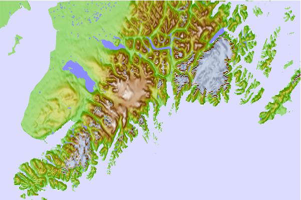
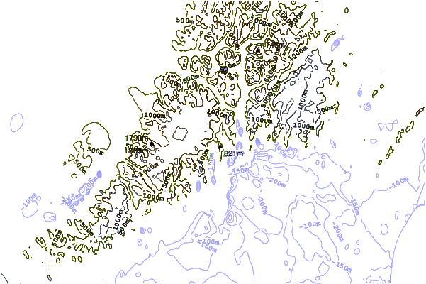
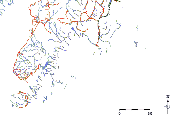
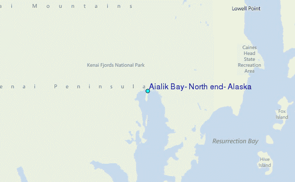
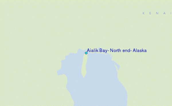
Use this relief map to navigate to tide stations, surf breaks and cities that are in the area of Aialik Bay, North end, Alaska.
Other Nearby Locations' tide tables and tide charts to Aialik Bay, North end, Alaska:
click location name for more details
 Surf breaks close to Aialik Bay, North end, Alaska:
|
||
|---|---|---|
| Closest surf break | Bird Point (Tidal Bore) | 78 mi |
| Second closest surf break | Termination Point | 174 mi |
| Third closest surf break | Mill Bay | 175 mi |
| Fourth closest surf break | Monashka Bay | 176 mi |
| Fifth closest surf break | Fossil Beach Kodiak | 199 mi |

 Nearest
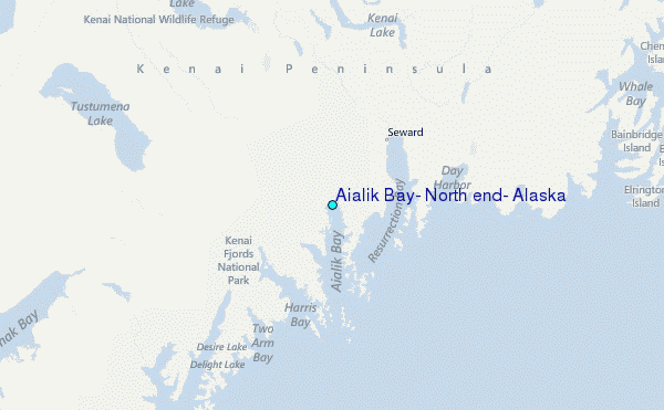