
| Distance / Altitude | Location | Report Date / Time | Live Weather | Wind | Gusts | Temp. | Visibility | Cloud |
|---|---|---|---|---|---|---|---|---|
| 11 km ENE / 180 m | Panama Rd (New Zealand) | 2026-07-10 11:00 local (2026/07/09 23:00 GMT) | Dry | light winds from the SW (9 km/h at 225) | 7°C | - | - - - | |
| 13 km WSW / 274 m | Te Oka (New Zealand) | 2026-07-10 12:00 local (2026/07/10 00:00 GMT) | Recent light rain | light winds from the W (7 km/h at 270) | 4°C | - | - - - | |
| 18 km NW / 34 m | Port Levy PWS (New Zealand) | 2026-07-10 12:00 local (2026/07/10 00:00 GMT) | Dry | calm (0 km/h at 0) | 9°C | - | - - - | |
| 25 km NW / 133 m | Godley Head (New Zealand) | 2026-07-10 12:00 local (2026/07/10 00:00 GMT) | Dry | moderate winds from the SW (20 km/h at 225) | 6°C | - | - - - | |
| 26 km WNW / 20 m | Lyttelton (New Zealand) | 2026-07-10 12:10 local (2026/07/10 00:10 GMT) | Dry | moderate winds from the W (20 km/h at 270) | 6°C | - | - - - | |
| 27 km NW / 220 m | Taylor's Mistake (New Zealand) | 2026-07-10 12:00 local (2026/07/10 00:00 GMT) | - | fresh winds from the SW (30 km/h at 214) | 6°C | - | - - 0 | |
| 27 km WNW / 5 m | Allandale (New Zealand) | 2026-07-10 12:00 local (2026/07/10 00:00 GMT) | Dry | calm (0 km/h at 135) | 6°C | - | - - - | |
| 28 km W / 21 m | Motukarara (New Zealand) | 2026-07-10 12:00 local (2026/07/10 00:00 GMT) | Dry | calm (4 km/h at 315) | 6°C | - | - - - | |
| 29 km WNW / 200 m | CHGPC Allandale (New Zealand) | 2026-07-10 12:00 local (2026/07/10 00:00 GMT) | - | wind obs. (33 kph from 222 degs) was rejected (- km/h at -) | 2°C | - | - - 0 | |
| 29 km NW / 250 m | Clearview (New Zealand) | 2026-07-10 12:01 local (2026/07/10 00:01 GMT) | No weather report | (- km/h at -) | — | - | - - - |
| Contours: | Roads & Rivers: | Select a
tide station / surf break / city |
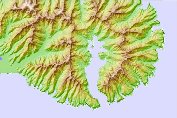
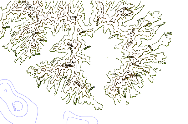
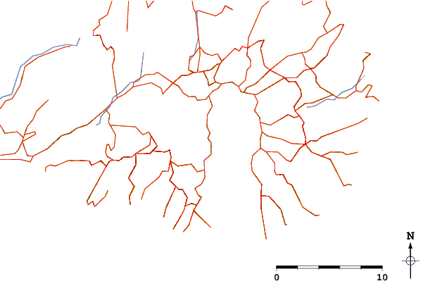
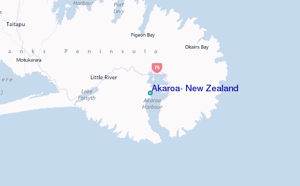
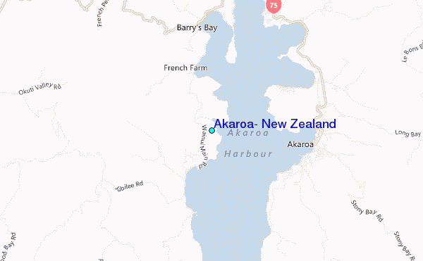
Use this relief map to navigate to tide stations, surf breaks and cities that are in the area of Akaroa, New Zealand.
Other Nearby Locations' tide tables and tide charts to Akaroa, New Zealand:
click location name for more details
 Surf breaks close to Akaroa, New Zealand:
|
||
|---|---|---|
| Closest surf break | Banks Peninsula - Magnet Bay | 7 mi |
| Second closest surf break | Banks Peninsula - Te Oka Bay | 9 mi |
| Third closest surf break | Banks Peninsula - Gough Bay | 9 mi |
| Fourth closest surf break | Banks Peninsula - Hickory Bay | 10 mi |
| Fifth closest surf break | Le Bons Bay | 10 mi |


 Nearest
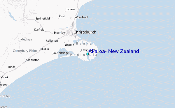