
| Distance / Altitude | Location | Report Date / Time | Live Weather | Wind | Gusts | Temp. | Visibility | Cloud |
|---|---|---|---|---|---|---|---|---|
| 119 km NNE / 293 m | Davao/Francisco Bangoy International Airport (Philippines) | 2026-02-09 04:00 local (2026/02/08 20:00 GMT) | Dry and partly cloudy | light winds from the NNW (6 km/h at 340) | 25°C | 10.0 | few broken | |
| 119 km NNE / 293 m | Davao/Francisco Bangoy International Airport (Philippines) | 2026-02-09 03:00 local (2026/02/08 19:00 GMT) | Dry and partly cloudy | calm (4 km/h at 360) | 25°C | 10.0 | few scattered broken | |
| 278 km NW / 10 m | Opol (PI) | 2026-02-09 05:03 local (2026/02/08 21:03 GMT) | dry | calm (0 km/h at 252) | 24°C | - | - - 0 | |
| 340 km N / 36 m | Del Pilar wx (Philippines) | 2026-02-09 05:01 local (2026/02/08 21:01 GMT) | dry | calm (0 km/h at 0) | 23°C | - | - - 0 | |
| 367 km W / 417 m | Zamboanga Airport (Philippines) | 2026-02-09 05:00 local (2026/02/08 21:00 GMT) | Dry and partly cloudy | calm (2 km/h at 90) | 24°C | 10.0 | few broken | |
| 419 km NW / 8 m | Dumaguete (Philippines) | 2026-02-09 05:00 local (2026/02/08 21:00 GMT) | Dry and partly cloudy | calm (4 km/h at 360) | 27°C | 10.0 | scattered broken | |
| 419 km NNE / 20 m | BRAVO SIARGAO (Philippines) | 2026-02-09 05:00 local (2026/02/08 21:00 GMT) | - | light winds from the WNW (7 km/h at 283) | 25°C | - | - - 0 | |
| 505 km S / 80 m | MenadoSamRatulangi (Indonesia) | 2026-02-09 05:00 local (2026/02/08 21:00 GMT) | - | calm (0 km/h at 0) | 25°C | 30 km | mostly cloudy | |
| 509 km S / 374 m | Menado/Sam Ratulangi International Airport (Indonesia) | 2026-02-09 04:30 local (2026/02/08 20:30 GMT) | Dry and partly cloudy | calm (4 km/h at 1) | 25°C | 10.0 | scattered | |
| 628 km SSE / 23 m | TernateBabullah (Indonesia) | 2026-02-09 05:00 local (2026/02/08 21:00 GMT) | - | calm (4 km/h at 170) | 25°C | 29 km | mostly cloudy |
| Contours: | Roads & Rivers: | Select a
tide station / surf break / city |
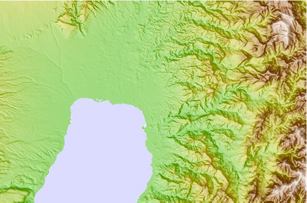
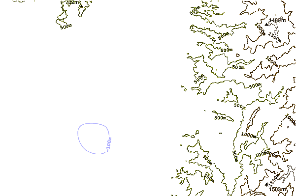
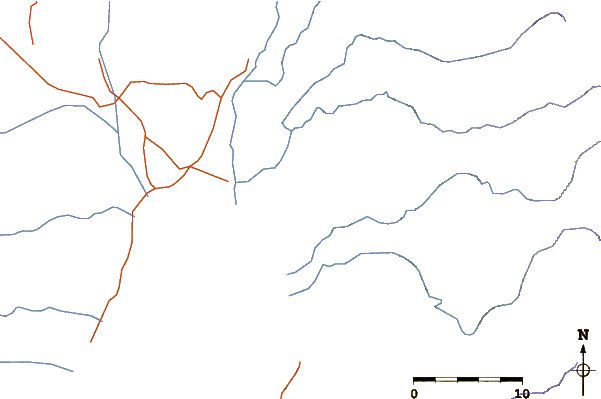
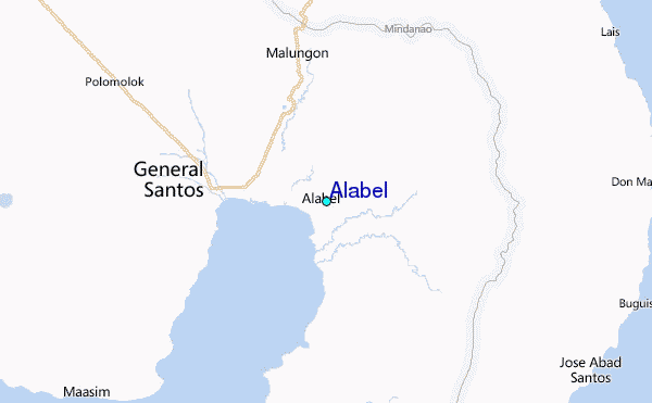
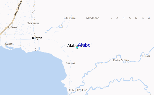
Use this relief map to navigate to tide stations, surf breaks and cities that are in the area of Alabel.
Other Nearby Locations' tide tables and tide charts to Alabel:
click location name for more details
 Surf breaks close to Alabel:
|
||
|---|---|---|
| Closest surf break | Tago River | 211 mi |
| Second closest surf break | Marami Beach | 216 mi |
| Third closest surf break | Lanuza Rivermouth | 223 mi |
| Fourth closest surf break | Big Star | 225 mi |
| Fifth closest surf break | Random Beach Break | 226 mi |


 Nearest
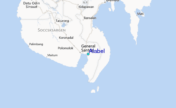