
| Distance / Altitude | Location | Report Date / Time | Live Weather | Wind | Gusts | Temp. | Visibility | Cloud |
|---|---|---|---|---|---|---|---|---|
| 2 km NE / 219 m | Beaufort Marine Corps Air Station Airport (South Carolina) | 2026-06-02 03:39 local (2026/06/02 07:39 GMT) | Thunderstorm - | light winds from the SSW (7 km/h at 200) | 21°C | 16 | scattered broken overcast | |
| 13 km NNE / 2 m | lightning 14km N of Beaufort (United States) | 2026-06-02 03:02 local (2026/06/02 07:02 GMT) | Thunderstorm | (- km/h at -) | — | |||
| 26 km S / 210 m | Hilton Head Airport (North Carolina) | 2026-06-02 03:15 local (2026/06/02 07:15 GMT) | Dry and partly cloudy | calm (0 km/h at 0) | 23°C | 16 | scattered | |
| 28 km N / 4 m | lightning 23km S of Walterboro (United States) | 2026-06-02 03:04 local (2026/06/02 07:04 GMT) | Thunderstorm | (- km/h at -) | — | |||
| 29 km WNW / 4 m | lightning 17km N of Ridgeland (United States) | 2026-06-02 02:34 local (2026/06/02 06:34 GMT) | Thunderstorm | (- km/h at -) | — | |||
| 29 km ENE / 3 m | BUOY-ACXS1 (Marine) | 2026-06-02 02:45 local (2026/06/02 06:45 GMT) | - (0 km/h at -) | 22°C | - | |||
| 33 km NW / 14 m | lightning 24km ESE of Varnville (United States) | 2026-06-02 02:30 local (2026/06/02 06:30 GMT) | Thunderstorm | (- km/h at -) | — | |||
| 36 km ESE / 3 m | BUOY-41033 (Marine) | 2026-06-02 03:08 local (2026/06/02 07:08 GMT) | moderate winds from the W (22 km/h at 260) | 26°C | - | |||
| 36 km ESE / 3 m | BUOY-41067 (Marine) | 2026-06-02 03:30 local (2026/06/02 07:30 GMT) | - (- km/h at -) | — | - | |||
| 48 km S / 3 m | BUOY-FPKG1 (Marine) | 2026-06-02 03:30 local (2026/06/02 07:30 GMT) | calm (5 km/h at 280) | 24°C | - |
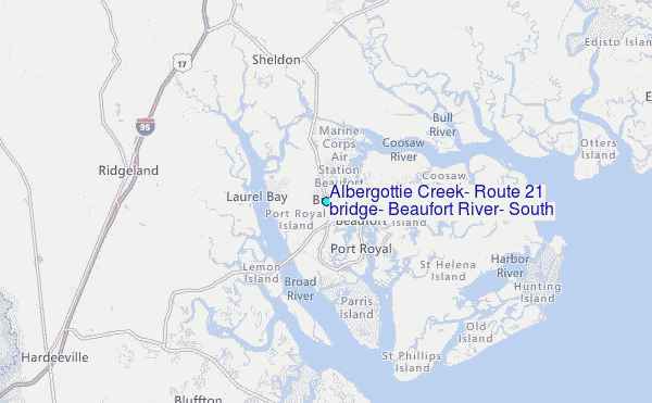
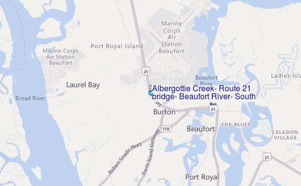
Choose Albergottie Creek, Route 21 bridge, Beaufort River, South Carolina Location Map Zoom:
| Contours: | Roads & Rivers: | Select a
tide station / surf break / city |
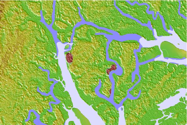

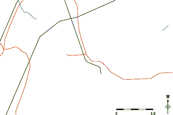
Use this relief map to navigate to tide stations, surf breaks and cities that are in the area of Albergottie Creek, Route 21 bridge, Beaufort River, South Carolina.
Other Nearby Locations' tide tables and tide charts to Albergottie Creek, Route 21 bridge, Beaufort River, South Carolina:
click location name for more details
 Surf breaks close to Albergottie Creek, Route 21 bridge, Beaufort River, South Carolina:
|
||
|---|---|---|
| Closest surf break | Hunting Island | 18 mi |
| Second closest surf break | Edisto Beach | 26 mi |
| Third closest surf break | North Jetty | 30 mi |
| Fourth closest surf break | Sugar Shack | 31 mi |
| Fifth closest surf break | 2nd Street | 32 mi |


 Nearest
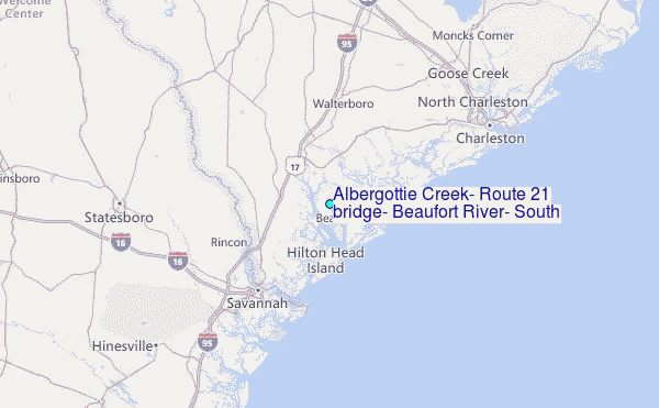