
| Distance / Altitude | Location | Report Date / Time | Live Weather | Wind | Gusts | Temp. | Visibility | Cloud |
|---|---|---|---|---|---|---|---|---|
| 4 km ESE / 218 m | Eareckson/Shemya Airport (Alaska) | 2026-03-30 14:59 local (2026/03/30 23:59 GMT) | Dry and partly cloudy | moderate winds from the NE (28 km/h at 50) | — | 16 | scattered scattered broken | |
| 24 km N / 15 m | ASCATC174E53N (Marine) | 2026-03-30 14:05 local (2026/03/30 23:05 GMT) | moderate winds from the NE (27 km/h at 45) | — | - km | |||
| 35 km NNE / 15 m | ASCATB174E53N (Marine) | 2026-03-30 13:31 local (2026/03/30 22:31 GMT) | moderate winds from the NE (27 km/h at 47) | — | - km | |||
| 42 km ESE / 15 m | ASCATC175E53N (Marine) | 2026-03-30 14:05 local (2026/03/30 23:05 GMT) | fresh winds from the NE (30 km/h at 47) | — | - km | |||
| 46 km ESE / 15 m | ASCATB175E53N (Marine) | 2026-03-30 13:31 local (2026/03/30 22:31 GMT) | fresh winds from the NE (31 km/h at 46) | — | - km | |||
| 91 km N / 15 m | ASCATC174E54N (Marine) | 2026-03-30 14:05 local (2026/03/30 23:05 GMT) | moderate winds from the NE (25 km/h at 43) | — | - km | |||
| 97 km NNE / 15 m | ASCATB175E54N (Marine) | 2026-03-30 13:31 local (2026/03/30 22:31 GMT) | moderate winds from the NE (27 km/h at 42) | — | - km | |||
| 97 km NNE / 15 m | ASCATC175E54N (Marine) | 2026-03-30 14:05 local (2026/03/30 23:05 GMT) | fresh winds from the NE (29 km/h at 44) | — | - km | |||
| 98 km E / 15 m | ASCATB176E53N (Marine) | 2026-03-30 13:31 local (2026/03/30 22:31 GMT) | fresh winds from the NE (31 km/h at 48) | — | - km | |||
| 107 km E / 15 m | ASCATC176E53N (Marine) | 2026-03-30 14:05 local (2026/03/30 23:05 GMT) | fresh winds from the NE (31 km/h at 49) | — | - km |
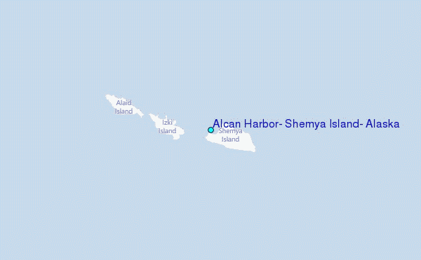
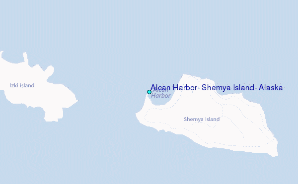
Choose Alcan Harbor, Shemya Island, Alaska Location Map Zoom:
| Contours: | Roads & Rivers: | Select a
tide station / surf break / city |
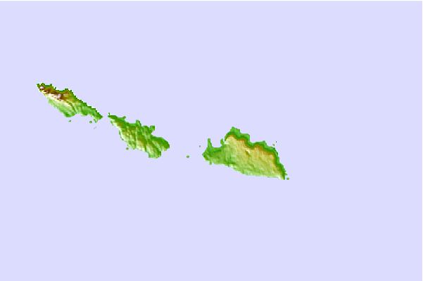
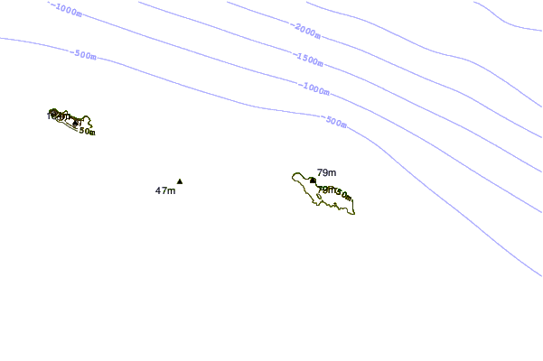
Use this relief map to navigate to tide stations, surf breaks and cities that are in the area of Alcan Harbor, Shemya Island, Alaska.
Other Nearby Locations' tide tables and tide charts to Alcan Harbor, Shemya Island, Alaska:
click location name for more details
 Surf breaks close to Alcan Harbor, Shemya Island, Alaska:
|
||
|---|---|---|
| Closest surf break | Khalaktyrsky Beach | 633 mi |
| Second closest surf break | Monashka Bay | 1350 mi |
| Third closest surf break | Termination Point | 1351 mi |
| Fourth closest surf break | Fossil Beach Kodiak | 1353 mi |
| Fifth closest surf break | Mill Bay | 1353 mi |


 Nearest
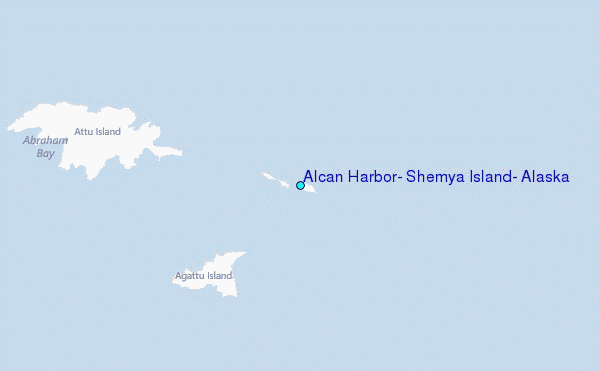