
| Distance / Altitude | Location | Report Date / Time | Live Weather | Wind | Gusts | Temp. | Visibility | Cloud |
|---|---|---|---|---|---|---|---|---|
| 4 km SSE / 213 m | Alexandria Nouzha (Egypt) | 2025-12-25 09:00 local (2025/12/25 07:00 GMT) | Dry and partly cloudy | calm (0 km/h at 0) | — | 0.0 | no significant cloud broken - | |
| 5 km SSE / 7 m | Nouzha (Egypt) | 2025-12-25 10:00 local (2025/12/25 08:00 GMT) | - | wind obs. (13 kph from 200 degs) was rejected (- km/h at -) | — | 10 | - - - | |
| 48 km NW / 15 m | ASCATB30E32N (Marine) | 2025-12-25 08:45 local (2025/12/25 06:45 GMT) | light winds from the E (8 km/h at 80) | — | - km | |||
| 100 km NE / 15 m | ASCATB31E32N (Marine) | 2025-12-25 08:45 local (2025/12/25 06:45 GMT) | light winds from the NE (14 km/h at 41) | — | - km | |||
| 118 km ENE / 188 m | Baltim (Egypt) | 2025-12-25 10:00 local (2025/12/25 08:00 GMT) | - | light winds from the NW (7 km/h at 320) | — | 10 | - - - | |
| 143 km SW / 218 m | Dabaa (Egypt) | 2025-12-25 09:00 local (2025/12/25 07:00 GMT) | - | light winds from the WNW (11 km/h at 290) | — | 10 | - - - | |
| 152 km N / 15 m | ASCATB30E33N (Marine) | 2025-12-25 08:45 local (2025/12/25 06:45 GMT) | calm (5 km/h at 20) | — | - km | |||
| 154 km NNE / 15 m | ASCATB31E33N (Marine) | 2025-12-25 08:45 local (2025/12/25 06:45 GMT) | light winds from the NE (8 km/h at 44) | — | - km | |||
| 186 km SE / 217 m | Cairo International Airport (Egypt) | 2025-12-25 09:30 local (2025/12/25 07:30 GMT) | Dry and partly cloudy | calm (4 km/h at 120) | — | 0.2 | few broken - | |
| 189 km SE / 74 m | Cairo (Egypt) | 2025-12-25 10:00 local (2025/12/25 08:00 GMT) | - | light winds from the NE (7 km/h at 40) | — | 10 | - - - |
| Contours: | Roads & Rivers: | Select a
tide station / surf break / city |
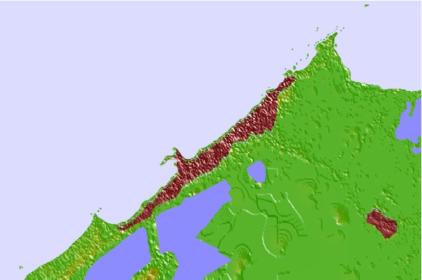
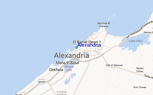
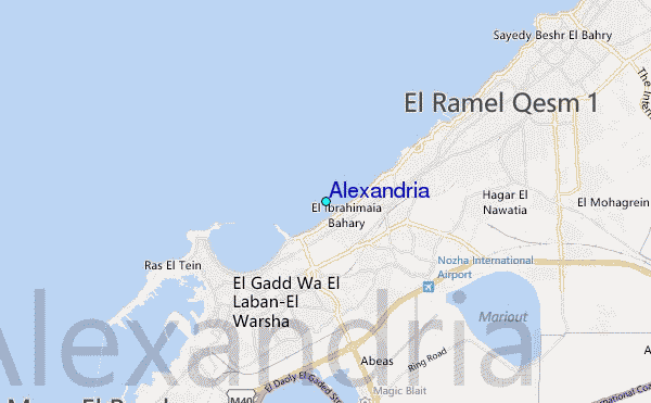
Use this relief map to navigate to tide stations, surf breaks and cities that are in the area of Alexandria.
Other Nearby Locations' tide tables and tide charts to Alexandria:
click location name for more details
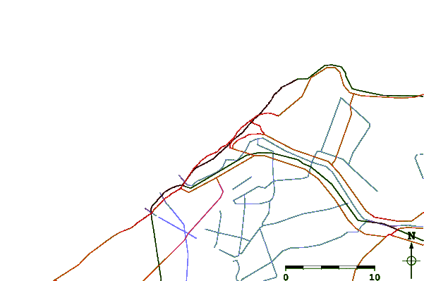
 Surf breaks close to Alexandria:
|
||
|---|---|---|
| Closest surf break | Shatby | 1 mi |
| Second closest surf break | Ramadas | 4 mi |
| Third closest surf break | El Corniche | 4 mi |
| Fourth closest surf break | Mandara | 7 mi |
| Fifth closest surf break | Agami | 10 mi |


 Nearest
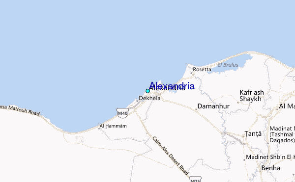