
| Distance / Altitude | Location | Report Date / Time | Live Weather | Wind | Gusts | Temp. | Visibility | Cloud |
|---|---|---|---|---|---|---|---|---|
| 15 km W / 3 m | BUOY-PKYF1 (Marine) | 2026-05-06 10:00 local (2026/05/06 14:00 GMT) | - (- km/h at -) | — | - | |||
| 21 km NW / 3 m | BUOY-BOBF1 (Marine) | 2026-05-06 10:00 local (2026/05/06 14:00 GMT) | - (- km/h at -) | — | - | |||
| 24 km WSW / 3 m | BUOY-LONF1 (Marine) | 2026-05-06 10:50 local (2026/05/06 14:50 GMT) | light winds from the SSE (9 km/h at 150) | 27°C | - | |||
| 26 km WNW / 3 m | BUOY-LRKF1 (Marine) | 2026-05-06 10:00 local (2026/05/06 14:00 GMT) | - (- km/h at -) | — | - | |||
| 27 km NW / 3 m | BUOY-WRBF1 (Marine) | 2026-05-06 10:00 local (2026/05/06 14:00 GMT) | - (4 km/h at -) | — | - | |||
| 28 km NNE / 3 m | BUOY-BNKF1 (Marine) | 2026-05-06 10:00 local (2026/05/06 14:00 GMT) | - (- km/h at -) | — | - | |||
| 36 km WNW / 3 m | BUOY-JKYF1 (Marine) | 2026-05-06 10:00 local (2026/05/06 14:00 GMT) | - (- km/h at -) | — | - | |||
| 36 km NW / 3 m | BUOY-TBYF1 (Marine) | 2026-05-06 10:00 local (2026/05/06 14:00 GMT) | - (- km/h at -) | — | - | |||
| 37 km N / 3 m | BUOY-LMDF1 (Marine) | 2026-05-06 10:00 local (2026/05/06 14:00 GMT) | - (- km/h at -) | — | - | |||
| 37 km WNW / 3 m | BUOY-BKYF1 (Marine) | 2026-05-06 10:00 local (2026/05/06 14:00 GMT) | - (- km/h at -) | — | - |
| Contours: | Roads & Rivers: | Select a
tide station / surf break / city |
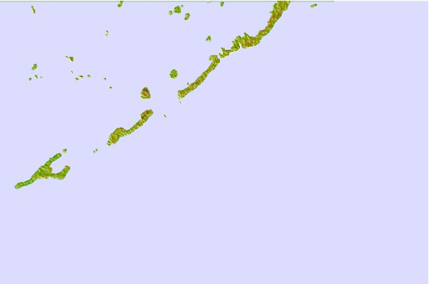
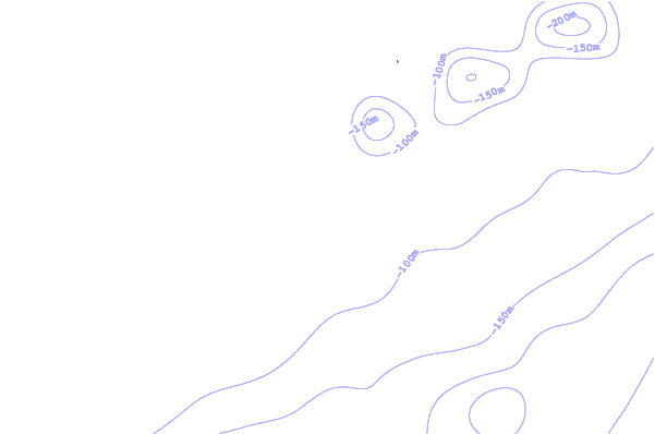
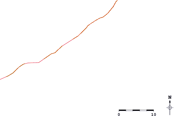
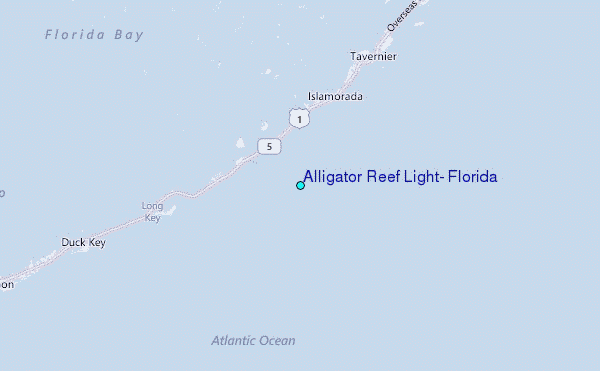
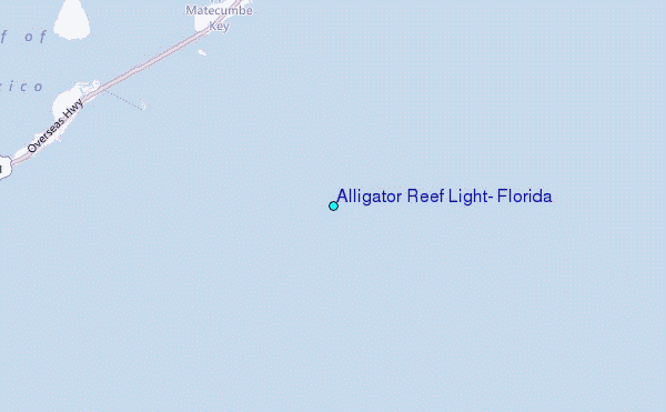
Use this relief map to navigate to tide stations, surf breaks and cities that are in the area of Alligator Reef Light, Florida.
Other Nearby Locations' tide tables and tide charts to Alligator Reef Light, Florida:
click location name for more details
 Surf breaks close to Alligator Reef Light, Florida:
|
||
|---|---|---|
| Closest surf break | South Beach (Miami) | 70 mi |
| Second closest surf break | Fifth Street (Miami) | 71 mi |
| Third closest surf break | 21st Street (Miami) | 73 mi |
| Fourth closest surf break | Dunes Hotel (Miami) | 73 mi |
| Fifth closest surf break | Harbor House | 79 mi |


 Nearest
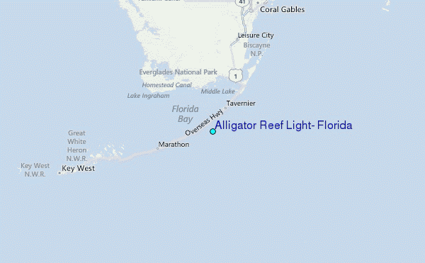