
| Distance / Altitude | Location | Report Date / Time | Live Weather | Wind | Gusts | Temp. | Visibility | Cloud |
|---|---|---|---|---|---|---|---|---|
| 64 km SE / 3 m | BUOY-KGCA2 (Marine) | 2026-05-06 06:00 local (2026/05/06 14:00 GMT) | - (0 km/h at -) | -2°C | - | |||
| 138 km ENE / 4 m | Nelson Lagoon Airport (Alaska) | 2026-05-06 04:56 local (2026/05/06 12:56 GMT) | Dry and cloudy | light winds from the N (9 km/h at 10) | -3°C | 16 | overcast | |
| 138 km ENE / 3 m | BUOY-NLXA2 (Marine) | 2026-05-06 06:32 local (2026/05/06 14:32 GMT) | calm (5 km/h at 20) | -2°C | - | |||
| 151 km NW / 15 m | SHIP9120 (Marine) | 2026-05-06 04:00 local (2026/05/06 12:00 GMT) | light winds from the WNW (12.96 km/h at 300) | 0°C | - km | |||
| 151 km NW / - m | SHIP27 (ocean) | 2026-05-06 05:00 local (2026/05/06 13:00 GMT) | No report | light winds from the NNW (11 km/h at 340) | — | - | no observation | |
| 151 km NW / 3 m | SHIP7796 (Marine) | 2026-05-06 05:00 local (2026/05/06 13:00 GMT) | calm (5 km/h at 330) | — | - | |||
| 151 km NW / 3 m | SHIP8274 (Marine) | 2026-05-06 04:00 local (2026/05/06 12:00 GMT) | light winds from the WNW (13 km/h at 300) | — | - | |||
| 151 km NW / - m | SHIP212 (ocean) | 2026-05-06 05:00 local (2026/05/06 13:00 GMT) | No report | light winds from the NNW (11 km/h at 340) | — | - | no observation | |
| 151 km NW / 15 m | SHIP8245 (Marine) | 2026-05-06 05:00 local (2026/05/06 13:00 GMT) | calm (5.4 km/h at 320) | 0°C | - km | |||
| 151 km NW / - m | SHIP855 (ocean) | 2026-05-06 06:00 local (2026/05/06 14:00 GMT) | No report | light winds from the NW (11 km/h at 310) | — | - | no observation |
| Contours: | Roads & Rivers: | Select a
tide station / surf break / city |
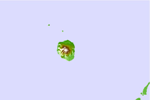

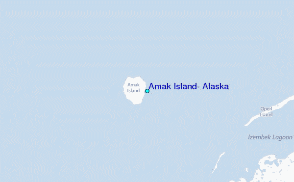
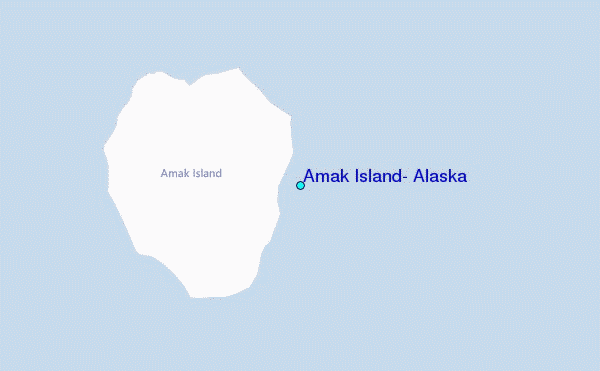
Use this relief map to navigate to tide stations, surf breaks and cities that are in the area of Amak Island, Alaska.
Other Nearby Locations' tide tables and tide charts to Amak Island, Alaska:
click location name for more details
 Surf breaks close to Amak Island, Alaska:
|
||
|---|---|---|
| Closest surf break | Fossil Beach Kodiak | 434 mi |
| Second closest surf break | Monashka Bay | 439 mi |
| Third closest surf break | Termination Point | 440 mi |
| Fourth closest surf break | Mill Bay | 441 mi |
| Fifth closest surf break | Bird Point (Tidal Bore) | 562 mi |


 Nearest
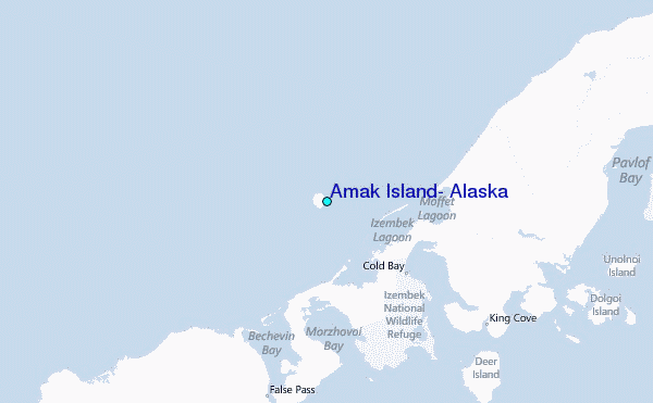