
| Distance / Altitude | Location | Report Date / Time | Live Weather | Wind | Gusts | Temp. | Visibility | Cloud |
|---|---|---|---|---|---|---|---|---|
| 57 km SSE / - m | SHIP323 (ocean) | 2025-12-25 14:00 local (2025/12/25 23:00 GMT) | - | light winds from the W (7 km/h at 270) | 3°C | - | no observation | |
| 60 km SSE / 3 m | Central Dixon Entrance Buoy (Marine) | 2025-12-25 16:00 local (2025/12/26 01:00 GMT) | moderate winds from the S (22 km/h at 190) | 3°C | - | |||
| 68 km S / 49 m | Langara Island Rcs- BC (Canada) | 2025-12-25 16:00 local (2025/12/26 01:00 GMT) | - | light winds from the SW (14 km/h at 220) | — | - | - | |
| 72 km NW / 3 m | BUOY-CRGA2 (Marine) | 2025-12-25 16:24 local (2025/12/26 01:24 GMT) | calm (5 km/h at 100) | -1°C | - | |||
| 83 km ENE / 1 m | Annette wx (United States) | 2025-12-25 16:04 local (2025/12/26 01:04 GMT) | - | calm (3 km/h at 86) | -2°C | - | - - 0 | |
| 72 km NW / 3 m | BUOY-CRGA2 (Marine) | 2025-12-25 16:24 local (2025/12/26 01:24 GMT) | calm (5 km/h at 100) | -1°C | - | |||
| 83 km ENE / 1 m | Annette wx (United States) | 2025-12-25 16:04 local (2025/12/26 01:04 GMT) | - | calm (3 km/h at 86) | -2°C | - | - - 0 | |
| 83 km N / 206 m | Klawock Airport (Alaska) | 2025-12-25 14:53 local (2025/12/25 23:53 GMT) | Dry and cloudy | wind obs. (6 kph from 1 degs) was rejected (- km/h at -) | -1°C | 16 | overcast | |
| 85 km ENE / 7 m | Metlakatla wx (United States) | 2025-12-25 15:29 local (2025/12/26 00:29 GMT) | - | light winds from the E (8 km/h at 94) | -2°C | - | - - 0 | |
| 86 km ENE / 7 m | Metlakatla wx (United States) | 2025-12-25 16:07 local (2025/12/26 01:07 GMT) | - | calm (0 km/h at 0) | -2°C | - | - - 0 |
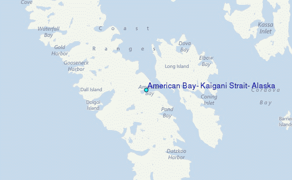
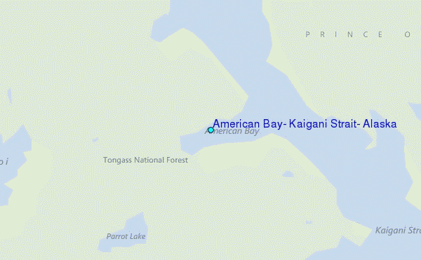
Choose American Bay, Kaigani Strait, Alaska Location Map Zoom:
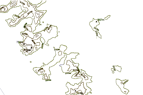
| Contours: | Roads & Rivers: | Select a
tide station / surf break / city |
Use this relief map to navigate to tide stations, surf breaks and cities that are in the area of American Bay, Kaigani Strait, Alaska.
Other Nearby Locations' tide tables and tide charts to American Bay, Kaigani Strait, Alaska:
click location name for more details
 Surf breaks close to American Bay, Kaigani Strait, Alaska:
|
||
|---|---|---|
| Closest surf break | Lepus Beach (Haida-Gwaii) | 48 mi |
| Second closest surf break | Tow Hill Beach | 68 mi |
| Third closest surf break | Cannon Beach | 413 mi |
| Fourth closest surf break | Graveyards | 416 mi |
| Fifth closest surf break | Ocean Cape | 418 mi |


 Nearest
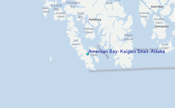