
| Distance / Altitude | Location | Report Date / Time | Live Weather | Wind | Gusts | Temp. | Visibility | Cloud |
|---|---|---|---|---|---|---|---|---|
| 34 km ESE / 206 m | Klawock Airport (Alaska) | 2025-12-24 20:53 local (2025/12/25 05:53 GMT) | Clear | calm (0 km/h at 0) | -4°C | 16 | ||
| 37 km SE / 3 m | BUOY-CRGA2 (Marine) | 2025-12-24 21:24 local (2025/12/25 06:24 GMT) | calm (4 km/h at 320) | -7°C | - | |||
| 50 km WNW / 3 m | BUOY-CDEA2 (Marine) | 2025-12-24 21:22 local (2025/12/25 06:22 GMT) | calm (5 km/h at 330) | -4°C | - | |||
| 60 km SW / 15 m | ASCATB226E55N (Marine) | 2025-12-24 19:38 local (2025/12/25 04:38 GMT) | fresh winds from the N (38 km/h at 11) | — | - km | |||
| 70 km NE / 3 m | BUOY-LCNA2 (Marine) | 2025-12-24 21:10 local (2025/12/25 06:10 GMT) | light winds from the E (9 km/h at 90) | -4°C | - | |||
| 88 km E / 3 m | BUOY-SPXA2 (Marine) | 2025-12-24 22:02 local (2025/12/25 07:02 GMT) | calm (5 km/h at 10) | -4°C | - | |||
| 104 km NE / 243 m | Thoms Place wx (United States) | 2025-12-24 21:28 local (2025/12/25 06:28 GMT) | - | wind obs. (37 kph from 91 degs) was rejected (- km/h at -) | — | - | - - 0 | |
| 111 km ESE / 3 m | BUOY-GIXA2 (Marine) | 2025-12-24 22:02 local (2025/12/25 07:02 GMT) | calm (5 km/h at 40) | -2°C | - | |||
| 112 km SW / 15 m | ASCATB225E55N (Marine) | 2025-12-24 19:38 local (2025/12/25 04:38 GMT) | fresh winds from the NNE (30 km/h at 16) | — | - km | |||
| 115 km NE / 3 m | BUOY-WGXA2 (Marine) | 2025-12-24 22:02 local (2025/12/25 07:02 GMT) | calm (5 km/h at 80) | -11°C | - |
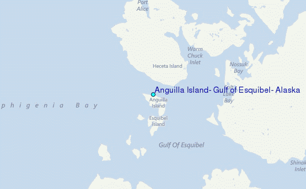
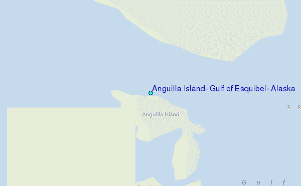
Choose Anguilla Island, Gulf of Esquibel, Alaska Location Map Zoom:
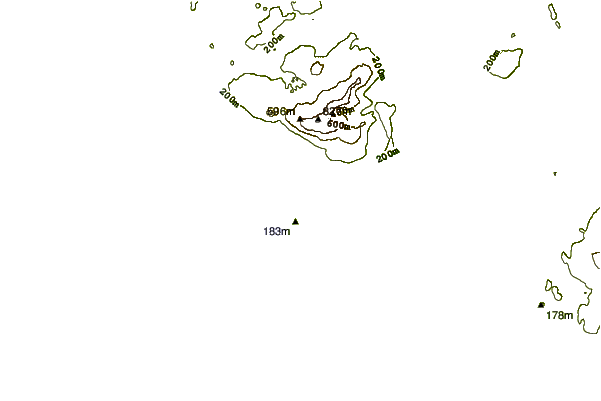
| Contours: | Roads & Rivers: | Select a
tide station / surf break / city |
Use this relief map to navigate to tide stations, surf breaks and cities that are in the area of Anguilla Island, Gulf of Esquibel, Alaska.
Other Nearby Locations' tide tables and tide charts to Anguilla Island, Gulf of Esquibel, Alaska:
click location name for more details
 Surf breaks close to Anguilla Island, Gulf of Esquibel, Alaska:
|
||
|---|---|---|
| Closest surf break | Lepus Beach (Haida-Gwaii) | 107 mi |
| Second closest surf break | Tow Hill Beach | 132 mi |
| Third closest surf break | Cannon Beach | 349 mi |
| Fourth closest surf break | Graveyards | 353 mi |
| Fifth closest surf break | Ocean Cape | 354 mi |


 Nearest
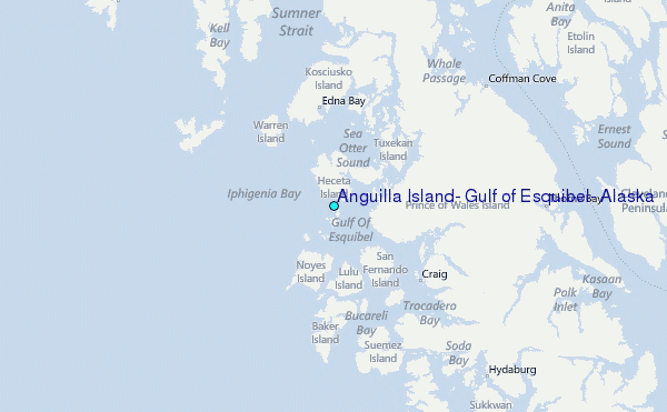