
| Distance / Altitude | Location | Report Date / Time | Live Weather | Wind | Gusts | Temp. | Visibility | Cloud |
|---|---|---|---|---|---|---|---|---|
| 83 km ESE / 1620 m | Coronet Peak Tandems (New Zealand) | 2026-07-28 05:00 local (2026/07/27 17:00 GMT) | - | wind obs. (17 kph from 3 degs) was rejected (- km/h at -) | 3°C | - | - - 0 | |
| 83 km SE / 1000 m | Skyline Gondola (New Zealand) | 2026-07-28 05:00 local (2026/07/27 17:00 GMT) | - | light winds from the SW (11 km/h at 230) | 6°C | - | - - 0 | |
| 84 km ESE / 1200 m | Rocky Gully (New Zealand) | 2026-07-28 05:00 local (2026/07/27 17:00 GMT) | - | wind obs. (26 kph from 324 degs) was rejected (- km/h at -) | 3°C | - | - - 0 | |
| 86 km E / 524 m | treblecone (New Zealand) | 2026-07-28 05:00 local (2026/07/27 17:00 GMT) | - | wind obs. (22 kph from 141 degs) was rejected (- km/h at -) | 1°C | - | - - 0 | |
| 87 km ESE / 450 m | Flightpark (New Zealand) | 2026-07-28 05:00 local (2026/07/27 17:00 GMT) | - | wind obs. (7 kph from 250 degs) was rejected (- km/h at -) | 1°C | - | - - 0 | |
| 90 km ESE / 359 m | Shotover (New Zealand) | 2026-07-28 05:10 local (2026/07/27 17:10 GMT) | Dry | calm (2 km/h at 0) | 1°C | - | - - - | |
| 91 km S / 198 m | Te Anau WS (New Zealand) | 2026-07-28 05:07 local (2026/07/27 17:07 GMT) | Dry | calm (0 km/h at 45) | 8°C | - | - - - | |
| 92 km SE / 335 m | Queenstown (ecowitt) (New Zealand) | 2026-07-28 05:13 local (2026/07/27 17:13 GMT) | Dry | calm (4 km/h at 0) | 1°C | - | - - - | |
| 95 km ESE / 629 m | Terrace SouthernClub (New Zealand) | 2026-07-28 05:00 local (2026/07/27 17:00 GMT) | - | calm (0 km/h at 351) | 4°C | - | - - 0 | |
| 97 km S / 362 m | Lynwood Road Hilltop (New Zealand) | 2026-07-28 05:00 local (2026/07/27 17:00 GMT) | Dry | wind obs. (7 kph from 315 degs) was rejected (- km/h at -) | 7°C | - | - - - |
| Contours: | Roads & Rivers: | Select a
tide station / surf break / city |
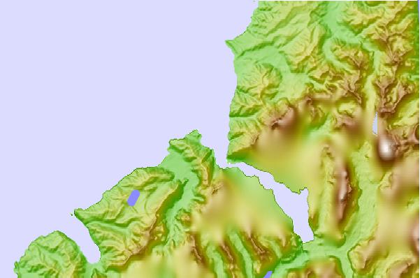
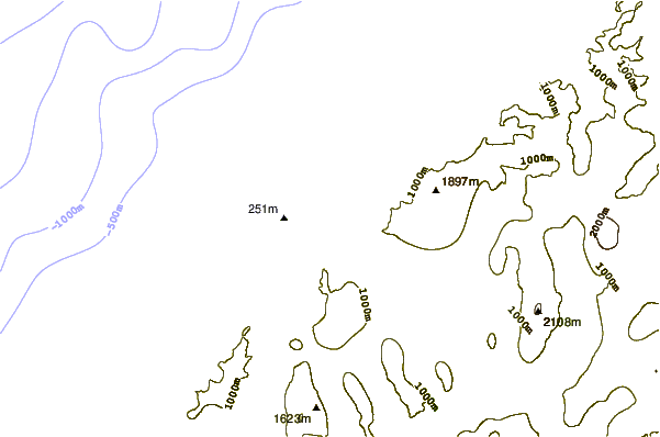
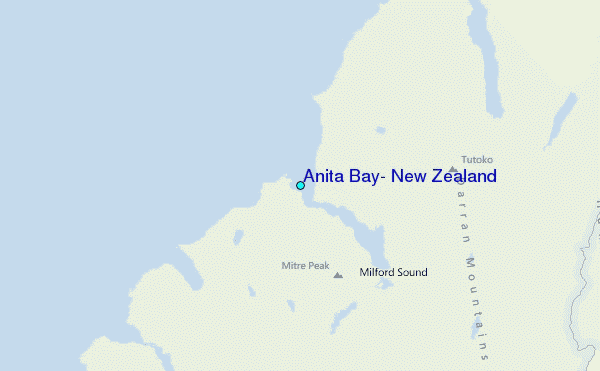
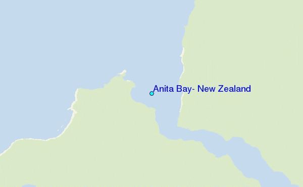
Use this relief map to navigate to tide stations, surf breaks and cities that are in the area of Anita Bay, New Zealand.
Other Nearby Locations' tide tables and tide charts to Anita Bay, New Zealand:
click location name for more details
 Surf breaks close to Anita Bay, New Zealand:
|
||
|---|---|---|
| Closest surf break | Smoothwater Bay | 57 mi |
| Second closest surf break | Haast Beach | 78 mi |
| Third closest surf break | Bluecliffs | 110 mi |
| Fourth closest surf break | Lake Pukaki Point | 119 mi |
| Fifth closest surf break | Frentzes | 119 mi |


 Nearest
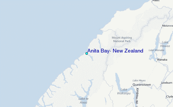