
| Distance / Altitude | Location | Report Date / Time | Live Weather | Wind | Gusts | Temp. | Visibility | Cloud |
|---|---|---|---|---|---|---|---|---|
| 53 km SE / 2 m | Muan International Airport (Korea) | 2026-03-06 09:00 local (2026/03/06 00:00 GMT) | Dry and partly cloudy | light winds from the E.(Wind varies from 050 to 110 degs) (7 km/h at 80) | 3°C | 10.0 | broken | |
| 64 km S / 15 m | SHIP2226 (Marine) | 2026-03-06 09:00 local (2026/03/06 00:00 GMT) | light winds from the N (7.2 km/h at 10) | 7°C | - km | |||
| 64 km S / 3 m | West of Biguemodo- South Korea (Marine) | 2026-03-06 09:00 local (2026/03/06 00:00 GMT) | light winds from the N (7 km/h at 10) | 5°C | - | |||
| 80 km NE / 124 m | Kunsan Air Base Airport (Korea) | 2026-03-06 09:41 local (2026/03/06 00:41 GMT) | Fog - | light winds from the ESE (9 km/h at 120) | — | 0 | ||
| 97 km NW / 3 m | BUOY-22108 South Korea (Marine) | 2026-03-06 09:00 local (2026/03/06 00:00 GMT) | light winds from the N (14 km/h at 350) | 5°C | - | |||
| 64 km S / 15 m | SHIP7212 (Marine) | 2026-03-06 08:00 local (2026/03/05 23:00 GMT) | light winds from the N (10.8 km/h at 10) | 7°C | - km | |||
| 64 km S / 3 m | West of Biguemodo- South Korea (Marine) | 2026-03-06 09:00 local (2026/03/06 00:00 GMT) | light winds from the N (7 km/h at 10) | 5°C | - | |||
| 80 km NE / 124 m | Kunsan Air Base Airport (Korea) | 2026-03-06 09:41 local (2026/03/06 00:41 GMT) | Fog - | light winds from the ESE (9 km/h at 120) | — | 0 | ||
| 96 km NW / 15 m | SHIP3066 (Marine) | 2026-03-06 08:00 local (2026/03/05 23:00 GMT) | light winds from the N (14.4 km/h at 350) | 7°C | - km | |||
| 96 km NW / 15 m | SHIP5606 (Marine) | 2026-03-06 09:00 local (2026/03/06 00:00 GMT) | light winds from the N (14.4 km/h at 350) | 7°C | - km |
| Contours: | Roads & Rivers: | Select a
tide station / surf break / city |
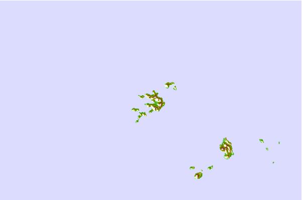
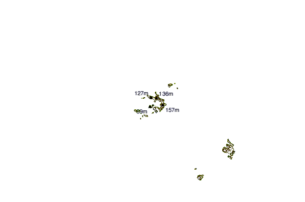
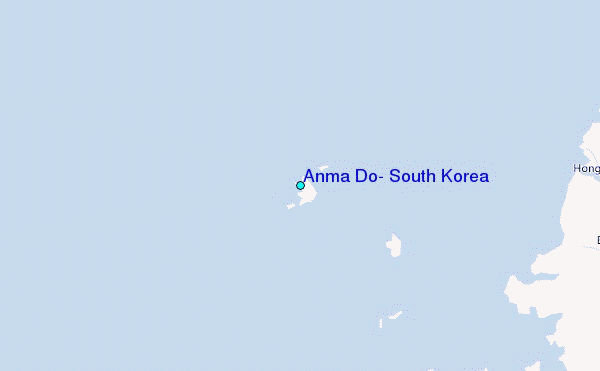
Use this relief map to navigate to tide stations, surf breaks and cities that are in the area of Anma Do, South Korea.
Other Nearby Locations' tide tables and tide charts to Anma Do, South Korea:
click location name for more details
 Surf breaks close to Anma Do, South Korea:
|
||
|---|---|---|
| Closest surf break | Jungmun Beach (Jeju Island) | 147 mi |
| Second closest surf break | Kangjeong (Jejudo Island) | 149 mi |
| Third closest surf break | Busan (Haeundae Beach) | 178 mi |
| Fourth closest surf break | Gyongpo Beach | 234 mi |
| Fifth closest surf break | Jumunjin | 235 mi |


 Nearest
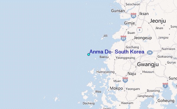