
| Distance / Altitude | Location | Report Date / Time | Live Weather | Wind | Gusts | Temp. | Visibility | Cloud |
|---|---|---|---|---|---|---|---|---|
| 19 km E / 155 m | Boulder Creek (California) | 2026-03-03 00:21 local (2026/03/03 08:21 GMT) | dry | calm (0 km/h at 0) | 10°C | - | - - 0 | |
| 19 km ENE / 210 m | Boulder Creek (California) | 2026-03-03 00:12 local (2026/03/03 08:12 GMT) | dry | calm (0 km/h at 194) | 11°C | - | - - 0 | |
| 19 km ENE / 285 m | Redwood Grove wx (United States) | 2026-03-03 00:33 local (2026/03/03 08:33 GMT) | dry | calm (0 km/h at 243) | 11°C | - | - - 0 | |
| 20 km E / 127 m | Boulder Creek (California) | 2026-03-03 00:01 local (2026/03/03 08:01 GMT) | dry | calm (0 km/h at 241) | 11°C | - | - - 0 | |
| 20 km E / 282 m | Brookdale wx (United States) | 2026-03-03 00:22 local (2026/03/03 08:22 GMT) | dry | calm (0 km/h at ) | 10°C | - | - - 0 | |
| 22 km NE / 610 m | Boulder Creek (California) | 2026-03-03 00:27 local (2026/03/03 08:27 GMT) | dry | calm (0 km/h at 0) | 10°C | - | - - 0 | |
| 23 km NNE / 427 m | La Honda (California) | 2026-03-03 00:32 local (2026/03/03 08:32 GMT) | dry | calm (2 km/h at 328) | 9°C | - | - - 0 | |
| 24 km ESE / 118 m | Felton (California) | 2026-03-03 00:01 local (2026/03/03 08:01 GMT) | dry | calm (0 km/h at 206) | 11°C | - | - - 0 | |
| 24 km ESE / 126 m | Felton (California) | 2026-03-03 00:35 local (2026/03/03 08:35 GMT) | dry | calm (0 km/h at 223) | 8°C | - | - - 0 | |
| 27 km E / 378 m | Scotts Valley (California) | 2026-03-03 00:11 local (2026/03/03 08:11 GMT) | dry | calm (0 km/h at 0) | 10°C | - | - - 0 |
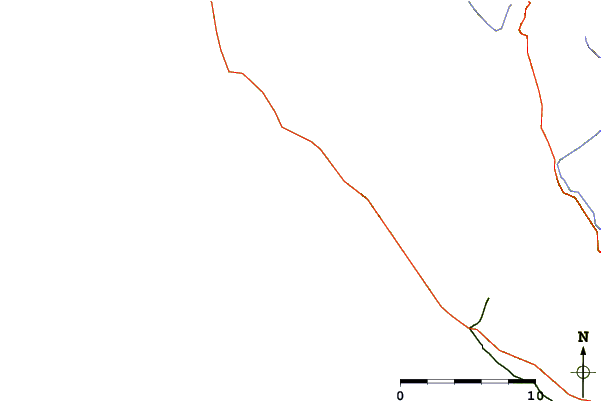
| Contours: | Roads & Rivers: | Select a
tide station / surf break / city |
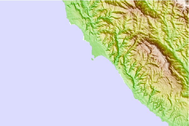
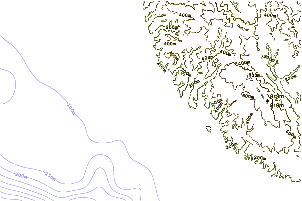
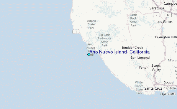
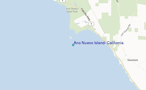
Use this relief map to navigate to tide stations, surf breaks and cities that are in the area of Ano Nuevo Island, California.
Other Nearby Locations' tide tables and tide charts to Ano Nuevo Island, California:
click location name for more details
 Surf breaks close to Ano Nuevo Island, California:
|
||
|---|---|---|
| Closest surf break | Ano Nuevo | 2 mi |
| Second closest surf break | Waddell Creek | 2 mi |
| Third closest surf break | Scott Creek-Beach | 4 mi |
| Fourth closest surf break | Scott Creek-Reef | 4 mi |
| Fifth closest surf break | Davenport Landing | 4 mi |


 Nearest
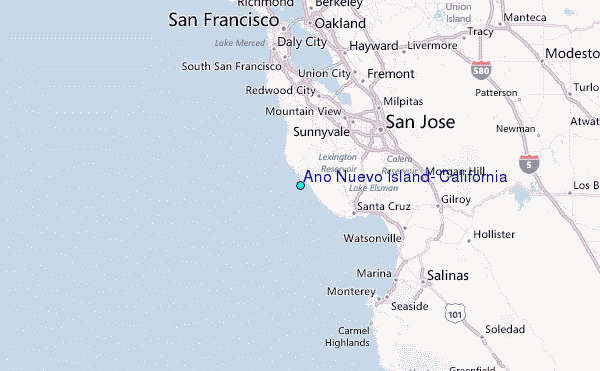