
| Distance / Altitude | Location | Report Date / Time | Live Weather | Wind | Gusts | Temp. | Visibility | Cloud |
|---|---|---|---|---|---|---|---|---|
| 149 km NE / 3 m | SHIP5293 (Marine) | 2025-12-22 21:00 local (2025/12/23 02:00 GMT) | - (- km/h at -) | 27°C | - | |||
| 149 km NE / 3 m | SHIP5398 (Marine) | 2025-12-22 21:00 local (2025/12/23 02:00 GMT) | - (- km/h at -) | 27°C | - | |||
| 149 km NE / 15 m | SHIP6911 (Marine) | 2025-12-22 21:00 local (2025/12/23 02:00 GMT) | - (- km/h at -) | — | - km | |||
| 149 km NE / 3 m | SHIP7152 (Marine) | 2025-12-22 21:00 local (2025/12/23 02:00 GMT) | - (- km/h at -) | 27°C | - | |||
| 149 km NE / 15 m | SHIP2213 (Marine) | 2025-12-22 21:00 local (2025/12/23 02:00 GMT) | - (- km/h at -) | — | - km | |||
| 158 km NE / 15 m | SHIP3139 (Marine) | 2025-12-22 20:00 local (2025/12/23 01:00 GMT) | - (- km/h at -) | — | - km | |||
| 158 km NE / 3 m | SHIP3034 (Marine) | 2025-12-22 20:00 local (2025/12/23 01:00 GMT) | - (- km/h at -) | 27°C | - | |||
| 158 km NE / 3 m | SHIP2104 (Marine) | 2025-12-22 20:00 local (2025/12/23 01:00 GMT) | - (- km/h at -) | 27°C | - | |||
| 158 km NE / 3 m | SHIP8361 (Marine) | 2025-12-22 20:00 local (2025/12/23 01:00 GMT) | - (- km/h at -) | 27°C | - | |||
| 158 km NE / 3 m | SHIP5076 (Marine) | 2025-12-22 20:00 local (2025/12/23 01:00 GMT) | - (- km/h at -) | 27°C | - |
| Contours: | Roads & Rivers: | Select a
tide station / surf break / city |
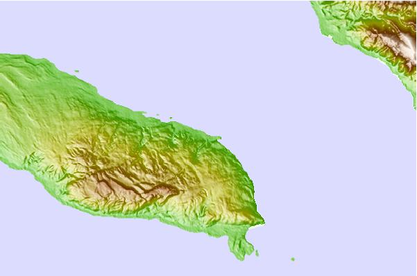
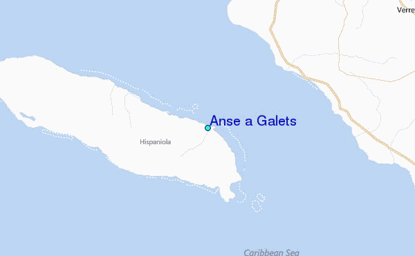
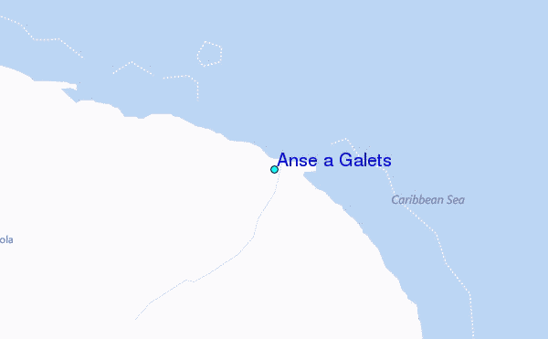
Use this relief map to navigate to tide stations, surf breaks and cities that are in the area of Anse a Galets.
Other Nearby Locations' tide tables and tide charts to Anse a Galets:
click location name for more details
 Surf breaks close to Anse a Galets:
|
||
|---|---|---|
| Closest surf break | Jacmel | 47 mi |
| Second closest surf break | Bahia de las Aguilas | 104 mi |
| Third closest surf break | Paraiso | 124 mi |
| Fourth closest surf break | San Rafael | 124 mi |
| Fifth closest surf break | La Cienega | 124 mi |


 Nearest
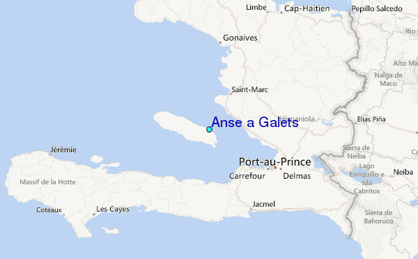