
| Distance / Altitude | Location | Report Date / Time | Live Weather | Wind | Gusts | Temp. | Visibility | Cloud |
|---|---|---|---|---|---|---|---|---|
| 33 km NE / 192 m | Pohnpei Airport (Micronesia) | 2025-12-25 19:50 local (2025/12/25 10:50 GMT) | Dry and partly cloudy | light winds from the NE (11 km/h at 40) | 29°C | 24 | scattered broken overcast | |
| 44 km NE / 3 m | BUOY-52213 (Marine) | 2025-12-25 20:30 local (2025/12/25 11:30 GMT) | - (- km/h at -) | 29°C | - | |||
| 370 km SW / 15 m | ASCATB155E5N (Marine) | 2025-12-25 20:08 local (2025/12/25 11:08 GMT) | fresh winds from the ENE (30 km/h at 66) | — | - km | |||
| 377 km WSW / 15 m | ASCATB155E6N (Marine) | 2025-12-25 20:08 local (2025/12/25 11:08 GMT) | fresh winds from the ENE (30 km/h at 64) | — | - km | |||
| 390 km WSW / 15 m | ASCATB154E6N (Marine) | 2025-12-25 20:08 local (2025/12/25 11:08 GMT) | fresh winds from the ENE (31 km/h at 66) | — | - km | |||
| 453 km E / 15 m | ASCATC162E6N (Marine) | 2025-12-25 19:08 local (2025/12/25 10:08 GMT) | moderate winds from the ENE (27 km/h at 57) | — | - km | |||
| 457 km SW / 15 m | ASCATB155E4N (Marine) | 2025-12-25 20:08 local (2025/12/25 11:08 GMT) | moderate winds from the ENE (27 km/h at 68) | — | - km | |||
| 477 km SW / 15 m | ASCATB154E5N (Marine) | 2025-12-25 20:08 local (2025/12/25 11:08 GMT) | fresh winds from the ENE (30 km/h at 65) | — | - km | |||
| 485 km E / 15 m | ASCATC162E7N (Marine) | 2025-12-25 19:08 local (2025/12/25 10:08 GMT) | fresh winds from the NE (30 km/h at 53) | — | - km | |||
| 487 km ESE / 15 m | ASCATC162E5N (Marine) | 2025-12-25 19:08 local (2025/12/25 10:08 GMT) | fresh winds from the NE (30 km/h at 50) | — | - km |
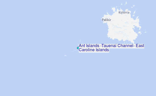
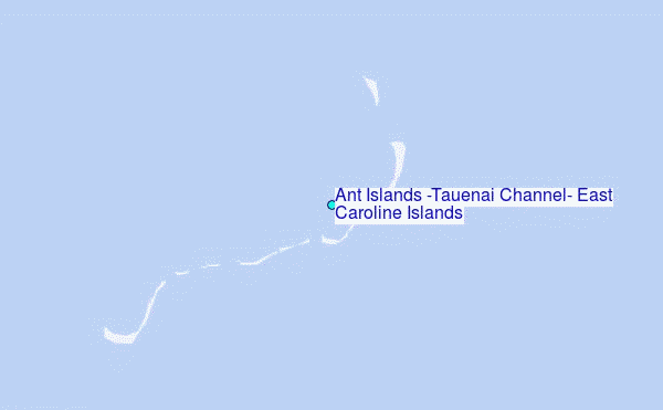
Choose Ant Islands (Tauenai Channel), East Caroline Islands Location Map Zoom:
| Contours: | Roads & Rivers: | Select a
tide station / surf break / city |
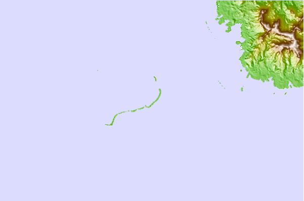
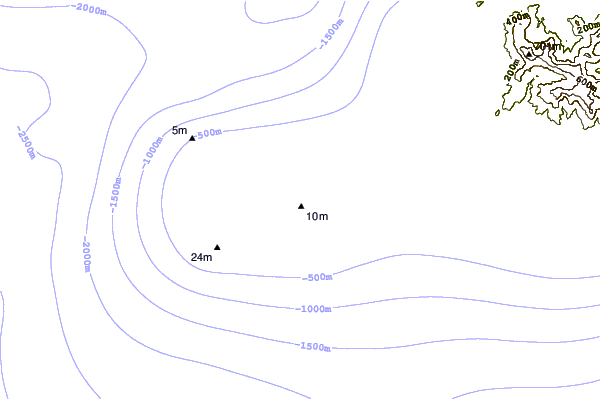

Use this relief map to navigate to tide stations, surf breaks and cities that are in the area of Ant Islands (Tauenai Channel), East Caroline Islands.
Other Nearby Locations' tide tables and tide charts to Ant Islands (Tauenai Channel), East Caroline Islands:
click location name for more details
 Surf breaks close to Ant Islands (Tauenai Channel), East Caroline Islands:
|
||
|---|---|---|
| Closest surf break | Walung | 352 mi |
| Second closest surf break | Sidedish | 354 mi |
| Third closest surf break | Simberi Island | 768 mi |
| Fourth closest surf break | Rubio | 812 mi |
| Fifth closest surf break | Kavieng Rights | 814 mi |


 Nearest
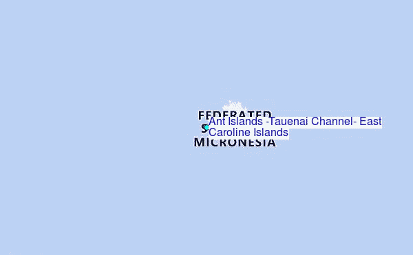