
| Distance / Altitude | Location | Report Date / Time | Live Weather | Wind | Gusts | Temp. | Visibility | Cloud |
|---|---|---|---|---|---|---|---|---|
| 61 km WSW / 208 m | Holguin Airport (Cuba) | 2025-12-25 01:50 local (2025/12/25 06:50 GMT) | - | light winds from the NE (13 km/h at 40) | 20°C | 8.0 | few | |
| 97 km S / 55 m | SantiagoDECuba- Oriente (Cuba) | 2025-12-25 01:00 local (2025/12/25 06:00 GMT) | Haze | light winds from the NNE (18 km/h at 20) | 24°C | 29 km | few | |
| 97 km S / 209 m | Santiago De Cuba Airport (Cuba) | 2025-12-25 01:50 local (2025/12/25 06:50 GMT) | Dry and partly cloudy | light winds from the NNE.(Wind varies from 340 to 040 degs) (15 km/h at 20) | 23°C | 9.0 | no significant cloud | |
| 119 km SSE / 203 m | Guantanamo Bay Airport (Cuba) | 2025-12-25 01:51 local (2025/12/25 06:51 GMT) | Clear | moderate winds from the NW (22 km/h at 320) | 23°C | 16 | ||
| 202 km E / 15 m | SHIP3688 (Marine) | 2025-12-25 03:00 local (2025/12/25 08:00 GMT) | - (- km/h at -) | — | - km | |||
| 202 km E / 3 m | SHIP8129 (Marine) | 2025-12-25 03:00 local (2025/12/25 08:00 GMT) | - (- km/h at -) | 24°C | - | |||
| 202 km E / 3 m | SHIP3212 (Marine) | 2025-12-25 03:00 local (2025/12/25 08:00 GMT) | - (- km/h at -) | 24°C | - | |||
| 229 km W / 212 m | Camaguey/Ignacio Agramonte Internationa Airport (Cuba) | 2025-12-25 01:50 local (2025/12/25 06:50 GMT) | - | light winds from the NNE (17 km/h at 30) | 20°C | 9.0 | few | |
| 234 km E / 3 m | SHIP7959 (Marine) | 2025-12-25 02:00 local (2025/12/25 07:00 GMT) | - (- km/h at -) | 25°C | - | |||
| 234 km E / 3 m | SHIP5444 (Marine) | 2025-12-25 02:00 local (2025/12/25 07:00 GMT) | - (- km/h at -) | 25°C | - |
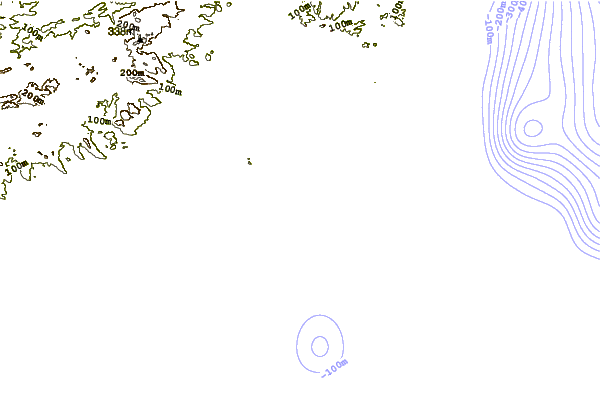
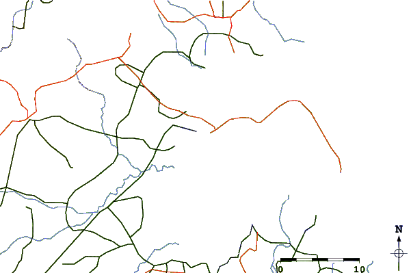
| Contours: | Roads & Rivers: | Select a
tide station / surf break / city |
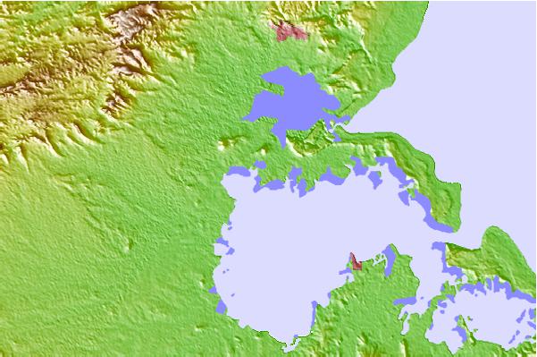
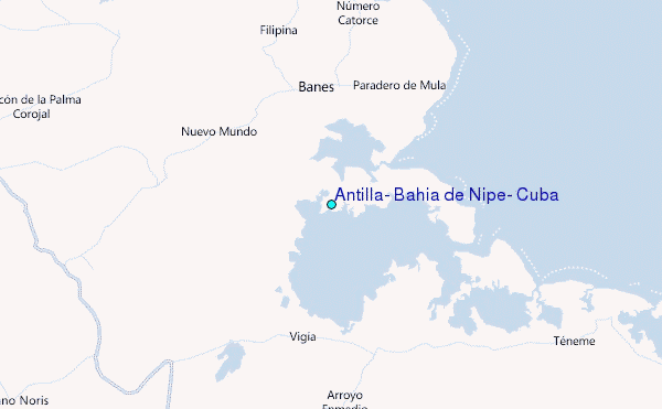
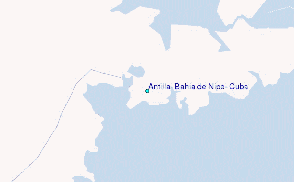
Use this relief map to navigate to tide stations, surf breaks and cities that are in the area of Antilla, Bahía de Nipe, Cuba.
Other Nearby Locations' tide tables and tide charts to Antilla, Bahia de Nipe, Cuba:
click location name for more details
 Surf breaks close to Antilla, Bahia de Nipe, Cuba:
|
||
|---|---|---|
| Closest surf break | Navy Island | 189 mi |
| Second closest surf break | Winnifred Beach | 189 mi |
| Third closest surf break | Peenie Wally | 190 mi |
| Fourth closest surf break | Boston Bay | 191 mi |
| Fifth closest surf break | Long Bay | 193 mi |


 Nearest
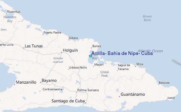