
| Distance / Altitude | Location | Report Date / Time | Live Weather | Wind | Gusts | Temp. | Visibility | Cloud |
|---|---|---|---|---|---|---|---|---|
| 7 km W / 3 m | BUOY-PSBC1 (Marine) | 2026-04-02 22:00 local (2026/04/03 05:00 GMT) | light winds from the W (9 km/h at 270) | 14°C | - | |||
| 20 km W / 3 m | BUOY-PCOC1 (Marine) | 2026-04-02 21:48 local (2026/04/03 04:48 GMT) | light winds from the WSW (11 km/h at 250) | — | - | |||
| 21 km WSW / 218 m | Concord Airport (California) | 2026-04-02 20:53 local (2026/04/03 03:53 GMT) | Clear | light winds from the WNW (17 km/h at 300) | 13°C | 16 | ||
| 25 km WSW / 15 m | SHIP8725 (Marine) | 2026-04-02 20:00 local (2026/04/03 03:00 GMT) | - (- km/h at -) | — | - km | |||
| 26 km SE / 24 m | Byron Airport (California) (California) | 2026-04-02 21:35 local (2026/04/03 04:35 GMT) | Clear | light winds from the W (15 km/h at 280) | 10°C | 16 | ||
| 25 km WSW / 15 m | SHIP2774 (Marine) | 2026-04-02 22:00 local (2026/04/03 05:00 GMT) | - (- km/h at -) | — | - km | |||
| 25 km WSW / 15 m | SHIP3505 (Marine) | 2026-04-02 21:00 local (2026/04/03 04:00 GMT) | - (- km/h at -) | — | - km | |||
| 25 km WSW / 15 m | SHIP6318 (Marine) | 2026-04-02 21:00 local (2026/04/03 04:00 GMT) | - (- km/h at -) | — | - km | |||
| 25 km WSW / 3 m | SHIP4007 (Marine) | 2026-04-02 20:00 local (2026/04/03 03:00 GMT) | - (- km/h at -) | 14°C | - | |||
| 25 km WSW / 15 m | SHIP8317 (Marine) | 2026-04-02 21:00 local (2026/04/03 04:00 GMT) | - (- km/h at -) | — | - km |
Choose Antioch, San Joaquin River, California Location Map Zoom:
| Contours: | Roads & Rivers: | Select a
tide station / surf break / city |
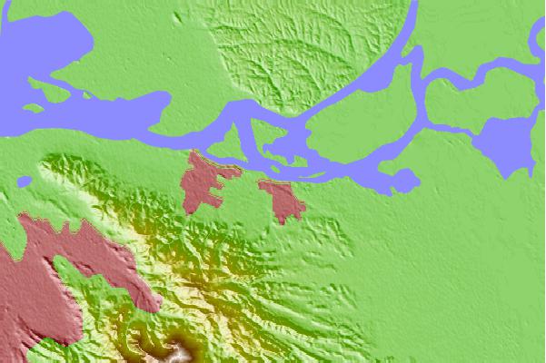
Use this relief map to navigate to tide stations, surf breaks and cities that are in the area of Antioch, San Joaquin River, California.
Other Nearby Locations' tide tables and tide charts to Antioch, San Joaquin River, California:
click location name for more details
 Surf breaks close to Antioch, San Joaquin River, California:
|
||
|---|---|---|
| Closest surf break | Fort Point | 39 mi |
| Second closest surf break | Deadman's | 40 mi |
| Third closest surf break | Fort Cronkite Rodeo Beach | 42 mi |
| Fourth closest surf break | Kellys Cove | 42 mi |
| Fifth closest surf break | Ocean Beach | 43 mi |


 Nearest