
| Distance / Altitude | Location | Report Date / Time | Live Weather | Wind | Gusts | Temp. | Visibility | Cloud |
|---|---|---|---|---|---|---|---|---|
| 144 km NW / 323 m | Nampula Airport (Mozambique) | 2025-12-25 22:00 local (2025/12/25 20:00 GMT) | Dry and partly cloudy | light winds from the N (11 km/h at 10) | 24°C | 10.0 | broken | |
| 313 km ESE / 10 m | Ile Juan DE Nova (France) | 2025-12-25 23:00 local (2025/12/25 21:00 GMT) | no report | wind obs. (7 kph from 130 degs) was rejected (- km/h at -) | 30°C | - | - | |
| 367 km N / 446 m | Pemba Airport (Mozambique) | 2025-12-25 22:00 local (2025/12/25 20:00 GMT) | - | calm (0 km/h at 0) | 28°C | 10.0 | few | |
| 370 km SW / 505 m | Quelimane (Mozambique) | 2025-12-25 22:00 local (2025/12/25 20:00 GMT) | Dry and partly cloudy | calm (0 km/h at 0) | 26°C | 10.0 | scattered broken | |
| 370 km SW / 505 m | Quelimane Airport (Mozambique) | 2025-12-25 22:00 local (2025/12/25 20:00 GMT) | Dry and partly cloudy | calm (0 km/h at 0) | 26°C | 10.0 | scattered broken | |
| 418 km WNW / 756 m | Marrupa (Mozambique) | 2025-12-25 23:00 local (2025/12/25 21:00 GMT) | no report | wind obs. (11 kph from 130 degs) was rejected (- km/h at -) | 27°C | 20 | - | |
| 598 km W / 1382 m | Lichinga (Mozambique) | 2025-12-25 23:00 local (2025/12/25 21:00 GMT) | no report | light winds from the E (17 km/h at 90) | 22°C | 20 | - | |
| 599 km W / 1359 m | Lichinga Airport (Mozambique) | 2025-12-25 22:00 local (2025/12/25 20:00 GMT) | Thunderstorm moderate rain thunderstorm | moderate winds from the NW (20 km/h at 320) | 20°C | 10.0 | broken broken few | |
| 661 km N / 277 m | Mtwara (Tanzania) | 2025-12-25 22:00 local (2025/12/25 20:00 GMT) | Dry and partly cloudy | light winds from the NNE (13 km/h at 20) | 28°C | 10.0 | scattered | |
| 662 km SSW / 160 m | Beira Airport (Mozambique) | 2025-12-25 23:00 local (2025/12/25 21:00 GMT) | Dry and partly cloudy | wind obs. (15 kph from 200 degs) was rejected (- km/h at -) | 27°C | 10.0 | broken scattered - |
| Contours: | Roads & Rivers: | Select a
tide station / surf break / city |
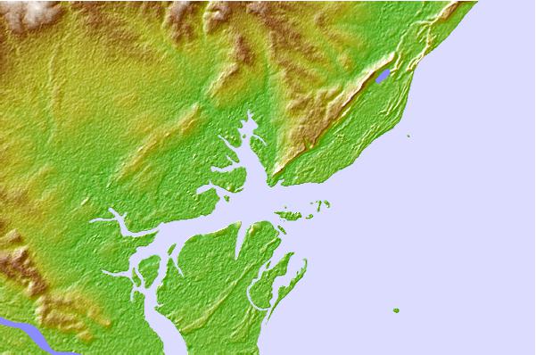
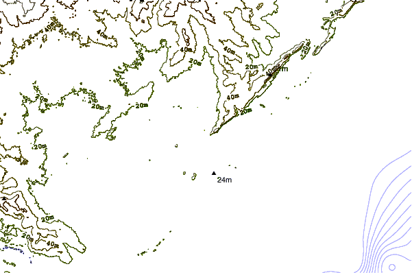
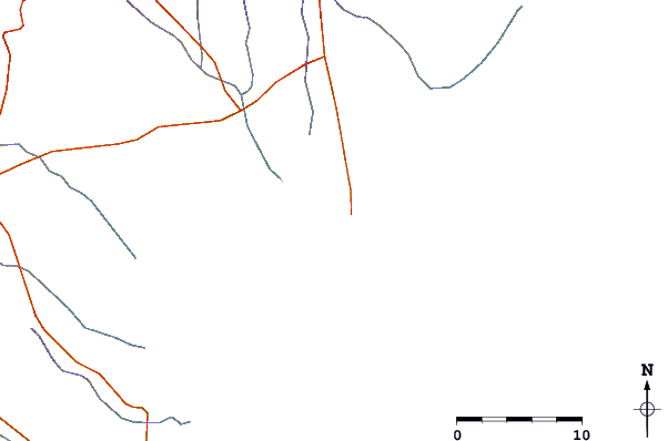
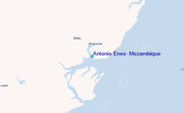
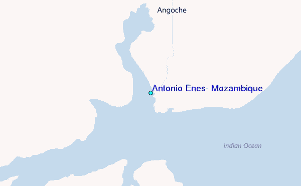
Use this relief map to navigate to tide stations, surf breaks and cities that are in the area of Antonio Enes, Mozambique.
Other Nearby Locations' tide tables and tide charts to Antonio Enes, Mozambique:
click location name for more details
 Surf breaks close to Antonio Enes, Mozambique:
|
||
|---|---|---|
| Closest surf break | Behakio | 534 mi |
| Second closest surf break | La Gauche | 536 mi |
| Third closest surf break | La Batterie | 548 mi |
| Fourth closest surf break | TTs | 562 mi |
| Fifth closest surf break | Nosy Andrea | 564 mi |


 Nearest
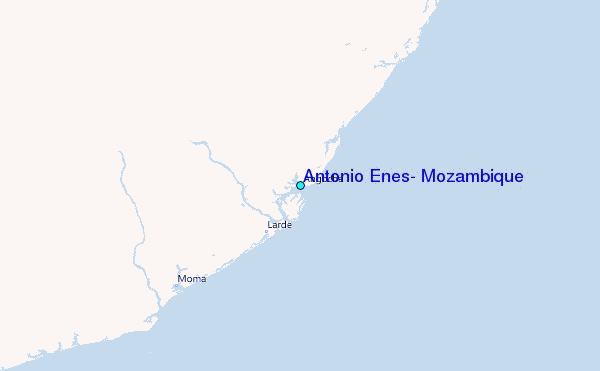