
| Distance / Altitude | Location | Report Date / Time | Live Weather | Wind | Gusts | Temp. | Visibility | Cloud |
|---|---|---|---|---|---|---|---|---|
| 3 km S / 218 m | Apalachicola Airport (Florida) | 2026-06-26 18:53 local (2026/06/26 22:53 GMT) | Clear | light winds from the S (7 km/h at 190) | 29°C | 16 | ||
| 7 km SE / 3 m | BUOY-APCF1 (Marine) | 2026-06-26 20:18 local (2026/06/27 00:18 GMT) | light winds from the SSW (8 km/h at 200) | — | - | |||
| 15 km E / 3 m | BUOY-APXF1 (Marine) | 2026-06-26 20:00 local (2026/06/27 00:00 GMT) | calm (2 km/h at 150) | 28°C | - | |||
| 24 km WSW / 3 m | Ward Ridge wx (United States) | 2026-06-26 20:32 local (2026/06/27 00:32 GMT) | dry | calm (0 km/h at 237) | 28°C | - | - - 0 | |
| 56 km WNW / 5 m | Tyndall Drone Airport (Florida) | 2026-06-26 18:55 local (2026/06/26 22:55 GMT) | Clear | light winds from the SSW (9 km/h at 210) | 30°C | 16 | ||
| 62 km W / 215 m | Tyndall Air Force Base Airport (Florida) | 2026-06-26 18:55 local (2026/06/26 22:55 GMT) | Clear | light winds from the SSW (9 km/h at 210) | 30°C | 16 | ||
| 63 km ENE / 1 m | Alligator Point wx (United States) | 2026-06-26 20:10 local (2026/06/27 00:10 GMT) | dry | calm (2 km/h at 277) | 28°C | - | - - 0 | |
| 67 km WNW / 1 m | Parker wx (United States) | 2026-06-26 20:32 local (2026/06/27 00:32 GMT) | dry | calm (3 km/h at 177) | 29°C | - | - - 0 | |
| 73 km WNW / 4 m | Bayou George wx (United States) | 2026-06-26 20:07 local (2026/06/27 00:07 GMT) | dry | calm (3 km/h at 243) | 27°C | - | - - 0 | |
| 74 km WNW / 3 m | BUOY-PACF1 (Marine) | 2026-06-26 20:18 local (2026/06/27 00:18 GMT) | light winds from the SSW (9 km/h at 200) | — | - |
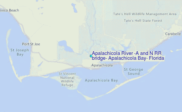
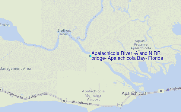
Choose Apalachicola River (A and N RR bridge), Apalachicola Bay, Florida Location Map Zoom:
| Contours: | Roads & Rivers: | Select a
tide station / surf break / city |
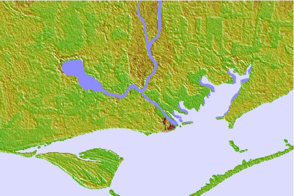

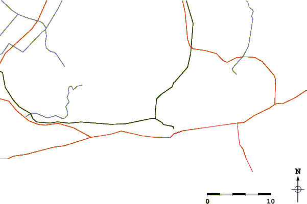
Use this relief map to navigate to tide stations, surf breaks and cities that are in the area of Apalachicola River (A and N RR bridge), Apalachicola Bay, Florida.
Other Nearby Locations' tide tables and tide charts to Apalachicola River (A and N RR bridge), Apalachicola Bay, Florida:
click location name for more details
 Surf breaks close to Apalachicola River (A and N RR bridge), Apalachicola Bay, Florida:
|
||
|---|---|---|
| Closest surf break | St George Island | 12 mi |
| Second closest surf break | Shell Island | 47 mi |
| Third closest surf break | The Pass | 48 mi |
| Fourth closest surf break | St Andrews State Park | 50 mi |
| Fifth closest surf break | Panama City Beach | 52 mi |


 Nearest
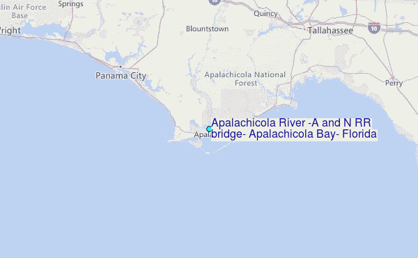