
| Distance / Altitude | Location | Report Date / Time | Live Weather | Wind | Gusts | Temp. | Visibility | Cloud |
|---|---|---|---|---|---|---|---|---|
| 1 km WSW / 132 m | Apia (Samoa) | 2026-02-13 13:00 local (2026/02/13 00:00 GMT) | distant precipitation but not falling at station | wind obs. (7 kph from 130 degs) was rejected (- km/h at -) | 26°C | 20 | - | |
| 25 km WSW / 5 m | FaleoloAirport (Samoa) | 2026-02-13 13:00 local (2026/02/13 00:00 GMT) | no report | light winds from the E (7 km/h at 100) | 25°C | 20 | - scattered - | |
| 103 km WSW / 368 m | Faleolo International/Apia Airport (Samoa/polynesia) | 2026-02-13 13:00 local (2026/02/13 00:00 GMT) | Dry and partly cloudy | wind obs. (26 kph from 40 degs) was rejected (- km/h at -) | 32°C | 10.0 | scattered | |
| 111 km ESE / 3 m | BUOY-51214 (Marine) | 2026-02-13 13:00 local (2026/02/13 00:00 GMT) | - (- km/h at -) | 30°C | - | |||
| 128 km ESE / 3 m | BUOY-NSTP6 (Marine) | 2026-02-13 13:48 local (2026/02/13 00:48 GMT) | - (- km/h at -) | — | - | |||
| 128 km ESE / 213 m | Pago Pago Airport (Samoa/polynesia) | 2026-02-13 12:50 local (2026/02/12 23:50 GMT) | Dry and partly cloudy | moderate winds from the E (22 km/h at 100) | 32°C | 19 | scattered | |
| 146 km ESE / 3 m | Aunuu- American Samoa (Marine) | 2026-02-13 13:56 local (2026/02/13 00:56 GMT) | - (- km/h at -) | 29°C | - | |||
| 321 km SSW / 3 m | Keppel/Mata aho Airport (Tonga) | 2026-02-13 13:00 local (2026/02/13 00:00 GMT) | State of sky unchanged | light winds from the ENE (15 km/h at 70) | 30°C | 20 km | - scattered - | |
| 511 km N / 3 m | NukunonuAws (Tokelau) | 2026-02-13 14:00 local (2026/02/13 01:00 GMT) | no report | light winds from the SE (9 km/h at 130) | 29°C | - | - no observation - | |
| 579 km S / 70 m | Lupepauu (Tonga) | 2026-02-13 13:00 local (2026/02/13 00:00 GMT) | Clouds dissolving | light winds from the NNE (13 km/h at 20) | 30°C | 20 km | scattered |
| Contours: | Roads & Rivers: | Select a
tide station / surf break / city |
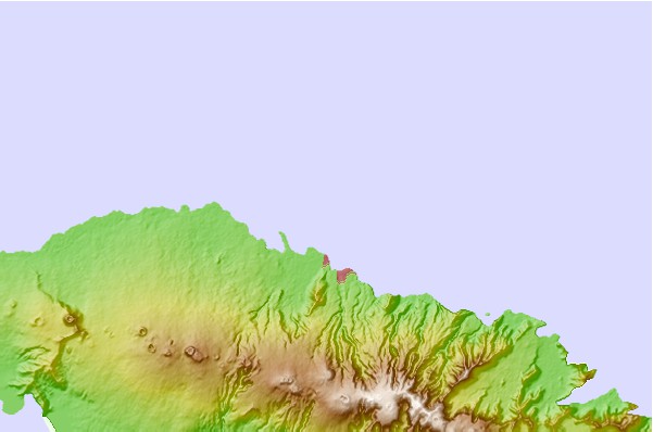
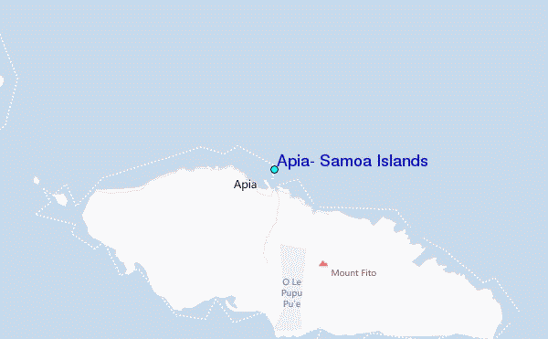
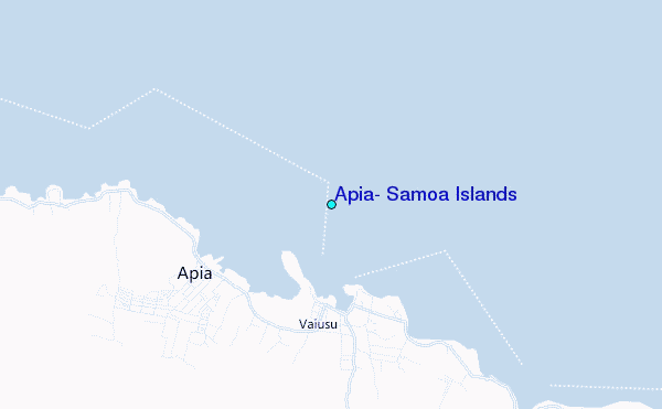
Use this relief map to navigate to tide stations, surf breaks and cities that are in the area of Apia, Samoa Islands.
Other Nearby Locations' tide tables and tide charts to Apia, Samoa Islands:
click location name for more details
 Surf breaks close to Apia, Samoa Islands:
|
||
|---|---|---|
| Closest surf break | Laulii | 3 mi |
| Second closest surf break | Lautaunuu | 6 mi |
| Third closest surf break | Saaga | 15 mi |
| Fourth closest surf break | Boulders | 17 mi |
| Fifth closest surf break | Nuusafee Island | 17 mi |


 Nearest
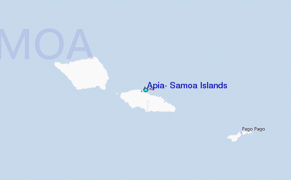