
| Distance / Altitude | Location | Report Date / Time | Live Weather | Wind | Gusts | Temp. | Visibility | Cloud |
|---|---|---|---|---|---|---|---|---|
| 46 km SSE / 13 m | Quinhagak (AK) (Alaska) | 2025-12-25 01:56 local (2025/12/25 10:56 GMT) | Clear | light winds from the N (15 km/h at 10) | -17°C | 16 | ||
| 75 km NNE / 214 m | Bethel Airport (Alaska) | 2025-12-25 01:53 local (2025/12/25 10:53 GMT) | Clear | light winds from the N (11 km/h at 10) | -17°C | 16 | ||
| 76 km NNE / 3 m | BUOY-BEXA2 (Marine) | 2025-12-25 03:02 local (2025/12/25 12:02 GMT) | - (- km/h at -) | -17°C | - | |||
| 106 km SW / 213 m | Kipnuk Airport (AK) (United States) | 2025-12-25 01:56 local (2025/12/25 10:56 GMT) | Clear | moderate winds from the NE (26 km/h at 40) | -14°C | 14 | ||
| 126 km S / 182 m | Platinum (AK) Airport (United States) | 2025-12-25 01:56 local (2025/12/25 10:56 GMT) | Clear | light winds from the ENE (15 km/h at 60) | -9°C | 14 | ||
| 157 km SE / 194 m | Togiak Airport (Alaska) | 2025-12-25 02:11 local (2025/12/25 11:11 GMT) | Dry and partly cloudy | light winds from the NNW (9 km/h at 340) | -10°C | 16 | broken | |
| 158 km SE / 3 m | BUOY-TGXA2 (Marine) | 2025-12-25 03:02 local (2025/12/25 12:02 GMT) | light winds from the N (8 km/h at 10) | -8°C | - | |||
| 166 km S / 646 m | Cape Newenham Airport (Alaska) | 2025-12-25 01:55 local (2025/12/25 10:55 GMT) | Dry and partly cloudy | light winds from the E (6 km/h at 90) | -7°C | 16 | scattered | |
| 169 km W / 18 m | Toksook Bay Airport (Alaska) | 2025-12-25 01:56 local (2025/12/25 10:56 GMT) | Clear | light winds from the NNE (13 km/h at 20) | -11°C | 16 | ||
| 185 km NNE / 17 m | Kalskag Airport (Alaska) | 2025-12-25 01:56 local (2025/12/25 10:56 GMT) | Clear | calm (0 km/h at 0) | -21°C | 16 |
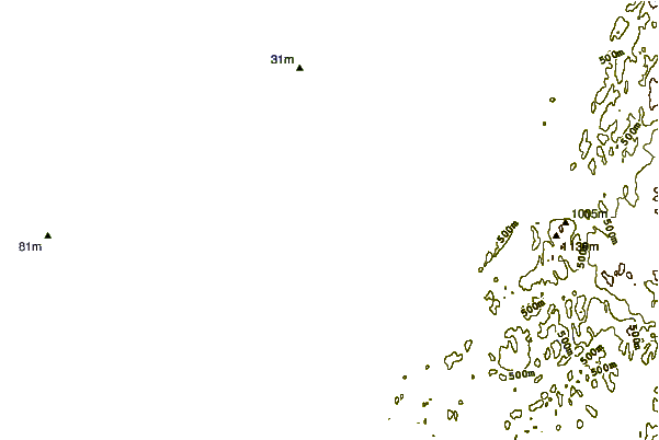
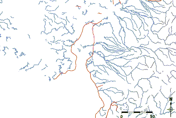
| Contours: | Roads & Rivers: | Select a
tide station / surf break / city |
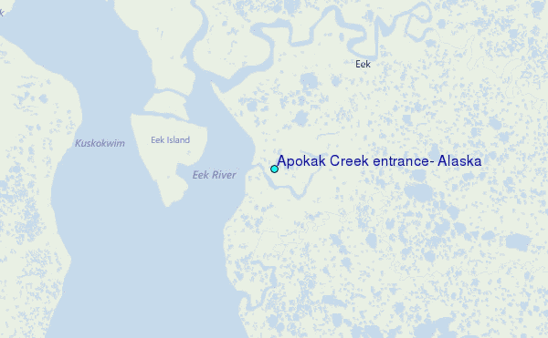
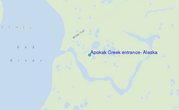
Use this relief map to navigate to tide stations, surf breaks and cities that are in the area of Apokak Creek entrance, Alaska.
Other Nearby Locations' tide tables and tide charts to Apokak Creek entrance, Alaska:
click location name for more details
 Surf breaks close to Apokak Creek entrance, Alaska:
|
||
|---|---|---|
| Closest surf break | Bird Point (Tidal Bore) | 369 mi |
| Second closest surf break | Monashka Bay | 381 mi |
| Third closest surf break | Termination Point | 381 mi |
| Fourth closest surf break | Mill Bay | 383 mi |
| Fifth closest surf break | Fossil Beach Kodiak | 398 mi |


 Nearest
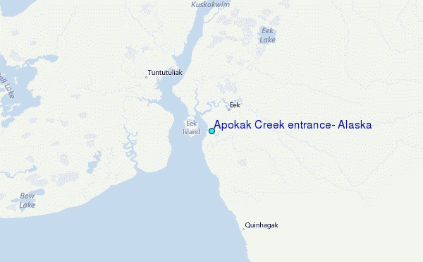