
| Distance / Altitude | Location | Report Date / Time | Live Weather | Wind | Gusts | Temp. | Visibility | Cloud |
|---|---|---|---|---|---|---|---|---|
| 207 km NE / 2 m | Cap-haitien Airport (Haiti) | 2026-01-10 15:00 local (2026/01/10 20:00 GMT) | - | moderate winds from the NNE (26 km/h at 30) | 27°C | 10.0 | few | |
| 243 km E / 360 m | Barahona Airport (Dominican Republic) | 2026-01-10 15:00 local (2026/01/10 20:00 GMT) | - | moderate winds from the SE (26 km/h at 130) | 30°C | 10.0 | few few | |
| 261 km WNW / 203 m | Guantanamo Bay Airport (Cuba) | 2026-01-10 14:51 local (2026/01/10 19:51 GMT) | - | moderate winds from the E (24 km/h at 90) | 29°C | 16 | few few | |
| 286 km ENE / 64 m | Mao (Dominican Republic) | 2026-01-10 16:40 local (2026/01/10 21:40 GMT) | dry | light winds from the E (8 km/h at 91) | 27°C | - | - - 0 | |
| 313 km ENE / 209 m | Santiago International Airport (Dominican Republic) | 2026-01-10 15:00 local (2026/01/10 20:00 GMT) | Dry and partly cloudy | light winds from the NE (15 km/h at 40) | 28°C | 10.0 | broken | |
| 317 km WNW / 209 m | Santiago De Cuba Airport (Cuba) | 2026-01-10 14:50 local (2026/01/10 19:50 GMT) | Dry and partly cloudy | moderate winds from the SE.(Wind varies from 100 to 160 degs) (20 km/h at 130) | 28°C | 9.0 | scattered | |
| 336 km ENE / 200 m | Los Zanjón wx (Dominican Republic) | 2026-01-10 16:02 local (2026/01/10 21:02 GMT) | dry | calm (0 km/h at ) | 26°C | - | - - 0 | |
| 340 km ENE / 466 m | Puerto Plata IN Airport (Dominican Republic) | 2026-01-10 15:00 local (2026/01/10 20:00 GMT) | Dry and partly cloudy | light winds from the ESE (13 km/h at 110) | 28°C | 10.0 | scattered | |
| 357 km N / 3 m | SHIP5183 (Marine) | 2026-01-10 14:00 local (2026/01/10 19:00 GMT) | fresh winds from the ENE (32 km/h at 70) | 27°C | 20.4 | |||
| 357 km N / 15 m | SHIP8778 (Marine) | 2026-01-10 14:00 local (2026/01/10 19:00 GMT) | fresh winds from the ENE (31.680000000000003 km/h at 70) | — | 17.7 km |
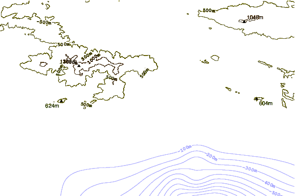
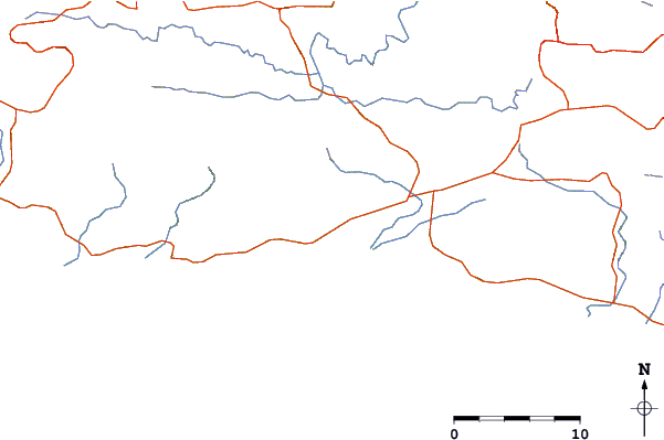
| Contours: | Roads & Rivers: | Select a
tide station / surf break / city |
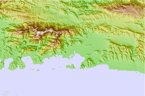
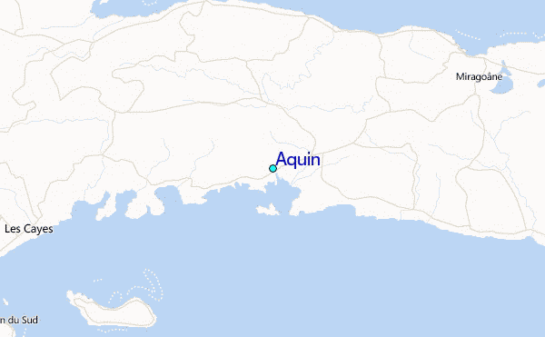
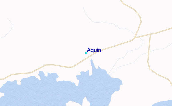
Use this relief map to navigate to tide stations, surf breaks and cities that are in the area of Aquin.
Other Nearby Locations' tide tables and tide charts to Aquin:
click location name for more details
 Surf breaks close to Aquin:
|
||
|---|---|---|
| Closest surf break | Jacmel | 57 mi |
| Second closest surf break | Bahia de las Aguilas | 119 mi |
| Third closest surf break | Isla Beata | 134 mi |
| Fourth closest surf break | Cabo Beata | 139 mi |
| Fifth closest surf break | Cabo Mongo | 139 mi |


 Nearest
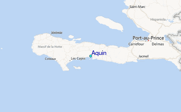