
| Distance / Altitude | Location | Report Date / Time | Live Weather | Wind | Gusts | Temp. | Visibility | Cloud |
|---|---|---|---|---|---|---|---|---|
| 78 km NNE / 471 m | Weipa Aerodrome (Australia) | 2025-12-26 10:00 local (2025/12/26 00:00 GMT) | no report | wind obs. (15 kph from 100 degs) was rejected (- km/h at -) | 24°C | - | - overcast - | |
| 93 km NNE / 40 m | Scherger Raaf (Australia) | 2025-12-26 10:00 local (2025/12/26 00:00 GMT) | No report | light winds from the N (9 km/h at 360) | 28°C | - | - mostly cloudy - | |
| 165 km ESE / 244 m | Coen Airport (Australia) | 2025-12-26 09:00 local (2025/12/25 23:00 GMT) | - | wind obs. (7 kph from 60 degs) was rejected (- km/h at -) | — | - | - no observation - | |
| 165 km ESE / 244 m | Coen Airport (Australia) | 2025-12-26 10:00 local (2025/12/26 00:00 GMT) | - | light winds from the ENE (7 km/h at 60) | — | - | - overcast - | |
| 189 km ENE / 18 m | Lockhart River (Australia) | 2025-12-26 10:00 local (2025/12/26 00:00 GMT) | no report | wind obs. (11 kph from 340 degs) was rejected (- km/h at -) | 19°C | - | - mostly cloudy - | |
| 238 km S / 11 m | KowanyamaAirport (Australia) | 2025-12-26 10:00 local (2025/12/26 00:00 GMT) | no report | calm (0 km/h at 0) | 20°C | - | - overcast - | |
| 311 km NNE / 15 m | SHIP4102 (Marine) | 2025-12-26 08:00 local (2025/12/25 22:00 GMT) | - (- km/h at -) | — | - km | |||
| 311 km NNE / 15 m | SHIP7910 (Marine) | 2025-12-26 08:00 local (2025/12/25 22:00 GMT) | - (- km/h at -) | — | - km | |||
| 311 km NNE / 15 m | SHIP3081 (Marine) | 2025-12-26 08:00 local (2025/12/25 22:00 GMT) | - (- km/h at -) | — | - km | |||
| 311 km NNE / 3 m | SHIP4877 (Marine) | 2025-12-26 09:00 local (2025/12/25 23:00 GMT) | - (- km/h at -) | 29°C | - |
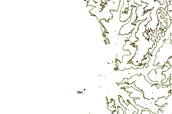
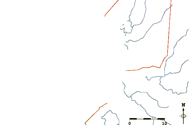
| Contours: | Roads & Rivers: | Select a
tide station / surf break / city |
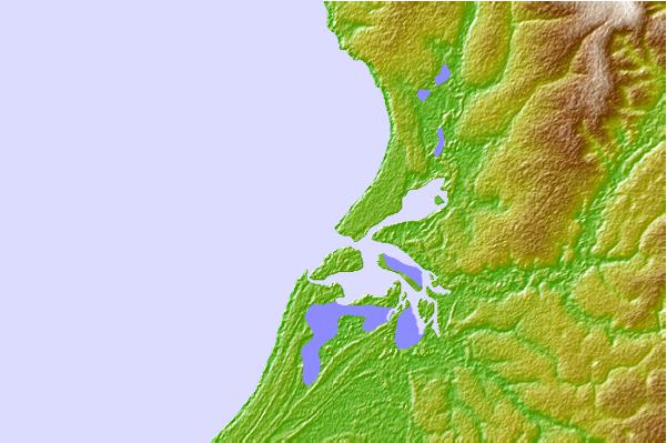
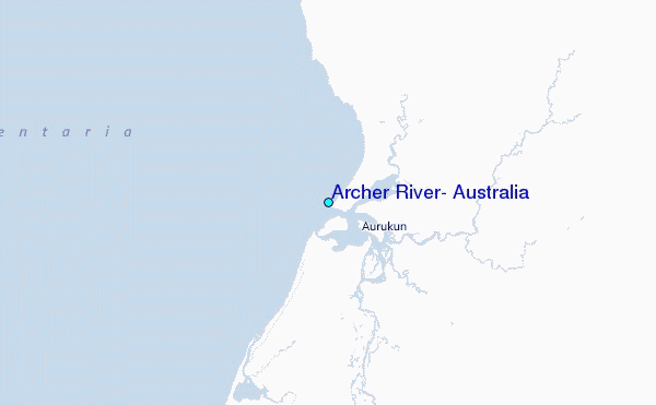
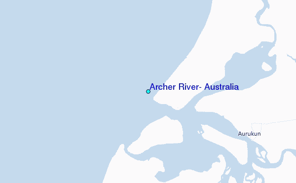
Use this relief map to navigate to tide stations, surf breaks and cities that are in the area of Archer River, Australia.
Other Nearby Locations' tide tables and tide charts to Archer River, Australia:
click location name for more details
 Surf breaks close to Archer River, Australia:
|
||
|---|---|---|
| Closest surf break | Tupira Right | 666 mi |
| Second closest surf break | Forok Point | 687 mi |
| Third closest surf break | The Wharf (Mission Point) | 689 mi |
| Fourth closest surf break | Wewak Point | 690 mi |
| Fifth closest surf break | Moem Point | 690 mi |


 Nearest
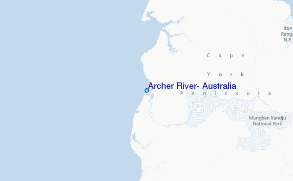