
| Distance / Altitude | Location | Report Date / Time | Live Weather | Wind | Gusts | Temp. | Visibility | Cloud |
|---|---|---|---|---|---|---|---|---|
| 48 km WSW / 169 m | Majuro Wso Airport (Marshall Islands) | 2026-02-22 11:52 local (2026/02/21 23:52 GMT) | Dry and partly cloudy | moderate winds from the ENE (24 km/h at 60) | — | 24 | few scattered broken | |
| 56 km WSW / 208 m | Majuro Atoll Airport (Marshall Islands) | 2026-02-22 11:51 local (2026/02/21 23:51 GMT) | Dry and partly cloudy | moderate winds from the ENE (20 km/h at 70) | 33°C | 24 | few scattered | |
| 63 km NE / 15 m | hy2c172E8N (Marine) | 2026-02-22 11:04 local (2026/02/21 23:04 GMT) | moderate winds from the ENE (24 km/h at 60) | — | - km | |||
| 97 km ESE / 15 m | hy2c172E7N (Marine) | 2026-02-22 11:05 local (2026/02/21 23:05 GMT) | light winds from the ENE (19 km/h at 62) | — | - km | |||
| 140 km W / 15 m | ASCATC171E8N (Marine) | 2026-02-22 10:43 local (2026/02/21 22:43 GMT) | moderate winds from the ENE (26 km/h at 71) | — | - km | |||
| 140 km SW / 15 m | ASCATC171E7N (Marine) | 2026-02-22 10:43 local (2026/02/21 22:43 GMT) | moderate winds from the E (20 km/h at 82) | — | - km | |||
| 172 km N / 15 m | hy2c172E9N (Marine) | 2026-02-22 11:04 local (2026/02/21 23:04 GMT) | moderate winds from the ENE (22 km/h at 68) | — | - km | |||
| 187 km ESE / 15 m | hy2c173E7N (Marine) | 2026-02-22 11:05 local (2026/02/21 23:05 GMT) | light winds from the NE (14 km/h at 52) | — | - km | |||
| 196 km ENE / 15 m | hy2c173E8N (Marine) | 2026-02-22 11:04 local (2026/02/21 23:04 GMT) | moderate winds from the ENE (23 km/h at 62) | — | - km | |||
| 204 km SSW / 15 m | ASCATC171E6N (Marine) | 2026-02-22 10:44 local (2026/02/21 22:44 GMT) | moderate winds from the ENE (21 km/h at 72) | — | - km |
| Contours: | Roads & Rivers: | Select a
tide station / surf break / city |
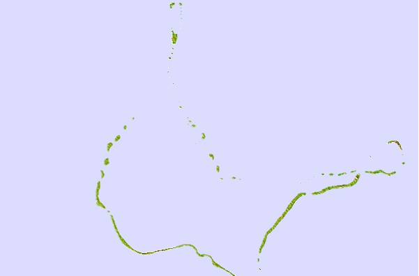
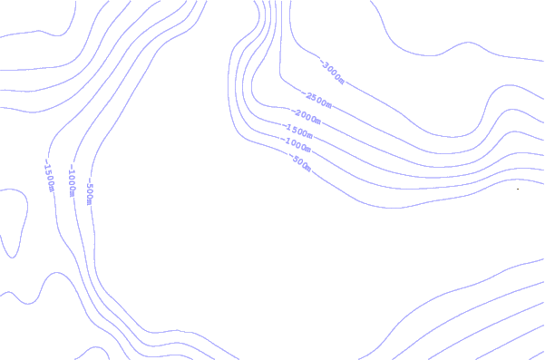
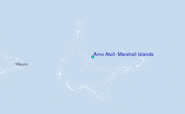
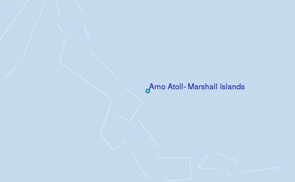
Use this relief map to navigate to tide stations, surf breaks and cities that are in the area of Arno Atoll, Marshall Islands.
Other Nearby Locations' tide tables and tide charts to Arno Atoll, Marshall Islands:
click location name for more details
 Surf breaks close to Arno Atoll, Marshall Islands:
|
||
|---|---|---|
| Closest surf break | Naa | 390 mi |
| Second closest surf break | Sidedish | 615 mi |
| Third closest surf break | Walung | 617 mi |
| Fourth closest surf break | Lavata | 1464 mi |
| Fifth closest surf break | Kundu Kundu | 1464 mi |


 Nearest
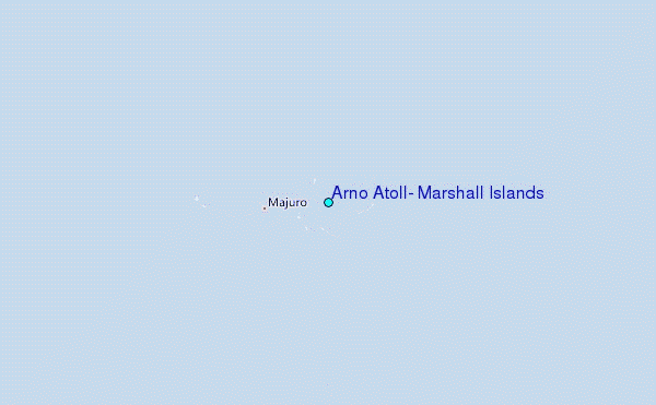