
| Distance / Altitude | Location | Report Date / Time | Live Weather | Wind | Gusts | Temp. | Visibility | Cloud |
|---|---|---|---|---|---|---|---|---|
| 172 km E / 184 m | Aden International Airport (Yemen) | 2026-07-17 03:00 local (2026/07/17 00:00 GMT) | Dry and partly cloudy | wind obs. (9 kph from 100 degs) was rejected (- km/h at -) | 33°C | 8.0 | few broken | |
| 478 km N / 216 m | Gizan Airport (Saudi Arabia) | 2026-07-17 03:00 local (2026/07/17 00:00 GMT) | - | wind obs. (9 kph from 270 degs) was rejected (- km/h at -) | — | 0.0 | ||
| 560 km N / 705 m | Nejran Airport (Saudi Arabia) | 2026-07-17 03:00 local (2026/07/17 00:00 GMT) | Dry and partly cloudy | calm (0 km/h at 0) | 30°C | 10.0 | scattered scattered - | |
| 622 km N / 2135 m | Abha Airport (Saudi Arabia) | 2026-07-17 03:00 local (2026/07/17 00:00 GMT) | - | calm (0 km/h at 0) | — | 0.0 | ||
| 629 km N / 2014 m | Khamis Mushait Air Base Airport (Saudi Arabia) | 2026-07-17 03:00 local (2026/07/17 00:00 GMT) | Dry and partly cloudy | calm (0 km/h at 0) | 20°C | 9.0 | no significant cloud | |
| 642 km S / 728 m | Gabagaba wx (Ethiopia) | 2026-07-17 03:01 local (2026/07/17 00:01 GMT) | dry | calm (0 km/h at ) | 18°C | - | - - 0 | |
| 652 km SSW / 2355 m | Addis Ababa/bole (Ethiopia) | 2026-07-17 03:00 local (2026/07/17 00:00 GMT) | Dry and partly cloudy | wind obs. (11 kph from 220 degs) was rejected (- km/h at -) | 15°C | 10.0 | broken | |
| 664 km NE / 690 m | Sharurah Airport (Saudi Arabia) | 2026-07-17 03:00 local (2026/07/17 00:00 GMT) | Dry and partly cloudy | light winds from the E (7 km/h at 90) | — | 0.0 | few - - | |
| 684 km ENE / 660 m | Sayun Airport (Yemen) | 2026-07-17 03:00 local (2026/07/17 00:00 GMT) | - | light winds from the W.(Wind varies from 230 to 330 degs) (7 km/h at 260) | — | 0.0 | ||
| 814 km N / 696 m | Bisha Airport (Saudi Arabia) | 2026-07-17 03:00 local (2026/07/17 00:00 GMT) | Dry and partly cloudy | light winds from the WNW (9 km/h at 300) | — | 0.0 | scattered - - |
| Contours: | Roads & Rivers: | Select a
tide station / surf break / city |
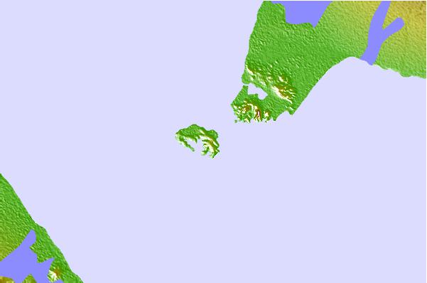
Use this relief map to navigate to tide stations, surf breaks and cities that are in the area of Assab, Eritrea.
Other Nearby Locations' tide tables and tide charts to Assab, Eritrea:
click location name for more details
 Surf breaks close to Assab, Eritrea:
|
||
|---|---|---|
| Closest surf break | Pirights | 547 mi |
| Second closest surf break | Qulansiyah | 679 mi |
| Third closest surf break | Marsa Alaam | 1026 mi |
| Fourth closest surf break | Malindi Bay | 1119 mi |
| Fifth closest surf break | Watamu Bay | 1131 mi |


 Nearest