
| Distance / Altitude | Location | Report Date / Time | Live Weather | Wind | Gusts | Temp. | Visibility | Cloud |
|---|---|---|---|---|---|---|---|---|
| 80 km ENE / 211 m | Atka Airport (Alaska) | 2026-02-10 13:56 local (2026/02/10 23:56 GMT) | Dry and partly cloudy | moderate winds from the WSW (28 km/h at 250) | 2°C | 0.0 | scattered broken | |
| 83 km ENE / 3 m | BUOY-ATKA2 (Marine) | 2026-02-10 14:48 local (2026/02/11 00:48 GMT) | near gales from the W (59 km/h at 280) | — | - | |||
| 92 km WSW / 3 m | BUOY-ADKA2 (Marine) | 2026-02-10 14:48 local (2026/02/11 00:48 GMT) | gales from the WSW (63 km/h at 250) | — | - | |||
| 93 km WSW / 506 m | Adak Naval Air Station Airport (Alaska) | 2026-02-10 14:07 local (2026/02/11 00:07 GMT) | Moderate rain | gales from the WSW (67 km/h at 240) | 2°C | 14 | scattered broken overcast | |
| 121 km WNW / 15 m | ASCATC184E53N (Marine) | 2026-02-10 12:58 local (2026/02/10 22:58 GMT) | severe gales from the WSW (75 km/h at 251) | — | - km | |||
| 142 km W / 15 m | ASCATC183E52N (Marine) | 2026-02-10 12:58 local (2026/02/10 22:58 GMT) | gales from the W (73 km/h at 262) | — | - km | |||
| 149 km W / 15 m | ASCATC183E53N (Marine) | 2026-02-10 12:58 local (2026/02/10 22:58 GMT) | severe gales from the WSW (75 km/h at 256) | — | - km | |||
| 185 km NW / 15 m | ASCATC184E54N (Marine) | 2026-02-10 12:58 local (2026/02/10 22:58 GMT) | gales from the W (69 km/h at 260) | — | - km | |||
| 213 km WSW / 15 m | ASCATC182E52N (Marine) | 2026-02-10 12:58 local (2026/02/10 22:58 GMT) | gales from the W (73 km/h at 262) | — | - km | |||
| 215 km W / 15 m | ASCATC182E53N (Marine) | 2026-02-10 12:58 local (2026/02/10 22:58 GMT) | severe gales from the W (75 km/h at 263) | — | - km |
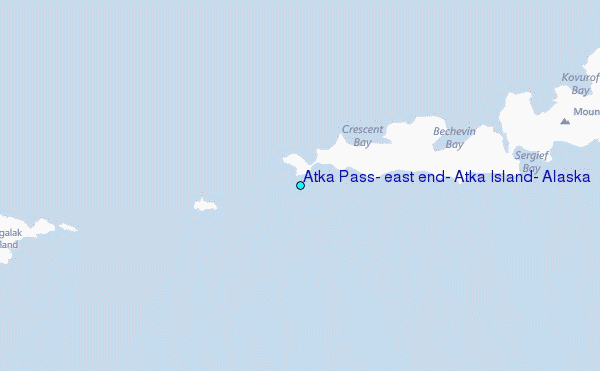
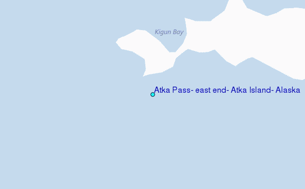
Choose Atka Pass, east end, Atka Island, Alaska Location Map Zoom:
| Contours: | Roads & Rivers: | Select a
tide station / surf break / city |
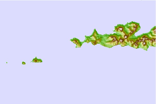
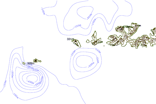

Use this relief map to navigate to tide stations, surf breaks and cities that are in the area of Atka Pass, east end, Atka Island, Alaska.
Other Nearby Locations' tide tables and tide charts to Atka Pass, east end, Atka Island, Alaska:
click location name for more details
 Surf breaks close to Atka Pass, east end, Atka Island, Alaska:
|
||
|---|---|---|
| Closest surf break | Fossil Beach Kodiak | 985 mi |
| Second closest surf break | Monashka Bay | 988 mi |
| Third closest surf break | Termination Point | 990 mi |
| Fourth closest surf break | Mill Bay | 991 mi |
| Fifth closest surf break | Khalaktyrsky Beach | 1083 mi |


 Nearest