
| Distance / Altitude | Location | Report Date / Time | Live Weather | Wind | Gusts | Temp. | Visibility | Cloud |
|---|---|---|---|---|---|---|---|---|
| 95 km ENE / 40 m | EnderbyIslandAws (New Zealand) | 2026-04-09 02:00 local (2026/04/08 14:00 GMT) | - | moderate winds from the WNW (20 km/h at 290) | 11°C | - | - no observation - | |
| 204 km SW / 15 m | ASCATB163E52S (Marine) | 2026-04-08 23:47 local (2026/04/08 11:47 GMT) | light winds from the NW (12 km/h at 307) | — | - km | |||
| 224 km SSW / 15 m | ASCATC163E52S (Marine) | 2026-04-09 00:20 local (2026/04/08 12:20 GMT) | light winds from the W (13 km/h at 278) | — | - km | |||
| 238 km SW / 15 m | ASCATC162E52S (Marine) | 2026-04-09 00:20 local (2026/04/08 12:20 GMT) | light winds from the W (13 km/h at 267) | — | - km | |||
| 244 km SSW / 15 m | ASCATB163E53S (Marine) | 2026-04-08 23:47 local (2026/04/08 11:47 GMT) | light winds from the WNW (13 km/h at 285) | — | - km | |||
| 249 km SSW / 15 m | ASCATC163E53S (Marine) | 2026-04-09 00:20 local (2026/04/08 12:20 GMT) | light winds from the WNW (15 km/h at 282) | — | - km | |||
| 250 km WSW / 15 m | ASCATC162E51S (Marine) | 2026-04-09 00:20 local (2026/04/08 12:20 GMT) | moderate winds from the WSW (25 km/h at 254) | — | - km | |||
| 252 km S / 15 m | ASCATB164E53S (Marine) | 2026-04-08 23:46 local (2026/04/08 11:46 GMT) | light winds from the S (17 km/h at 184) | — | - km | |||
| 254 km WSW / 15 m | ASCATB162E51S (Marine) | 2026-04-08 23:47 local (2026/04/08 11:47 GMT) | moderate winds from the WSW (23 km/h at 258) | — | - km | |||
| 260 km SW / 15 m | ASCATB162E52S (Marine) | 2026-04-08 23:47 local (2026/04/08 11:47 GMT) | light winds from the W (18 km/h at 259) | — | - km |
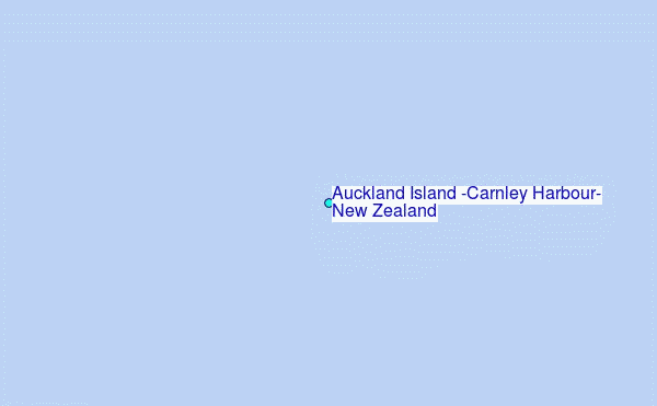
Choose Auckland Island (Carnley Harbour), New Zealand Location Map Zoom:
| Contours: | Roads & Rivers: | Select a
tide station / surf break / city |

Use this relief map to navigate to tide stations, surf breaks and cities that are in the area of Auckland Island (Carnley Harbour), New Zealand.
Other Nearby Locations' tide tables and tide charts to Auckland Island (Carnley Harbour), New Zealand:
click location name for more details
 Surf breaks close to Auckland Island (Carnley Harbour), New Zealand:
|
||
|---|---|---|
| Closest surf break | Stewart Island - Saber Reef | 282 mi |
| Second closest surf break | Beatons | 335 mi |
| Third closest surf break | Nicks Point | 335 mi |
| Fourth closest surf break | Porridge | 336 mi |
| Fifth closest surf break | Colac Bay | 337 mi |


 Nearest
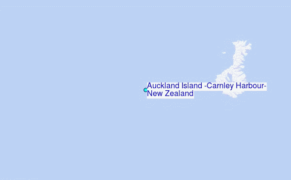