
| Distance / Altitude | Location | Report Date / Time | Live Weather | Wind | Gusts | Temp. | Visibility | Cloud |
|---|---|---|---|---|---|---|---|---|
| 0 km S / 3 m | BUOY-ABYA2 (Marine) | 2026-02-10 15:52 local (2026/02/11 00:52 GMT) | calm (4 km/h at 360) | 4°C | - | |||
| 0 km S / 3 m | BUOY-SRXA2 (Marine) | 2026-02-10 16:02 local (2026/02/11 01:02 GMT) | light winds from the ENE (9 km/h at 60) | 5°C | - | |||
| 1 km WSW / 28 m | Auke Bay wx (United States) | 2026-02-10 15:21 local (2026/02/11 00:21 GMT) | dry | calm (0 km/h at 319) | 3°C | - | - - 0 | |
| 3 km SE / 3 m | BUOY-MVXA2 (Marine) | 2026-02-10 16:02 local (2026/02/11 01:02 GMT) | light winds from the ESE (13 km/h at 110) | 5°C | - | |||
| 4 km ESE / 214 m | Juneau Airport (Alaska) | 2026-02-10 14:53 local (2026/02/10 23:53 GMT) | Dry and cloudy | moderate winds from the ESE (22 km/h at 120) | 5°C | 16 | few broken overcast | |
| 7 km SW / 3 m | BUOY-PTLA2 (Marine) | 2026-02-10 16:02 local (2026/02/11 01:02 GMT) | light winds from the SSE (8 km/h at 150) | 6°C | - | |||
| 16 km SE / 3 m | BUOY-MXXA2 (Marine) | 2026-02-10 16:02 local (2026/02/11 01:02 GMT) | light winds from the E (18 km/h at 90) | 5°C | - | |||
| 16 km SSE / 772 m | Eaglecrest Ptarmigan Top CW (United States of America) | 2026-02-10 15:40 local (2026/02/11 00:40 GMT) | - | - (- km/h at ) | -1°C | - | - - 0 | |
| 17 km ESE / 3 m | BUOY-JNEA2 (Marine) | 2026-02-10 15:48 local (2026/02/11 00:48 GMT) | - (- km/h at -) | — | - | |||
| 17 km ESE / 3 m | BUOY-JLXA2 (Marine) | 2026-02-10 16:02 local (2026/02/11 01:02 GMT) | light winds from the ESE (13 km/h at 120) | 5°C | - |
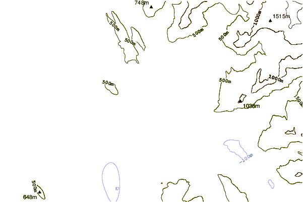
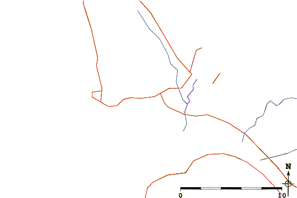
| Contours: | Roads & Rivers: | Select a
tide station / surf break / city |
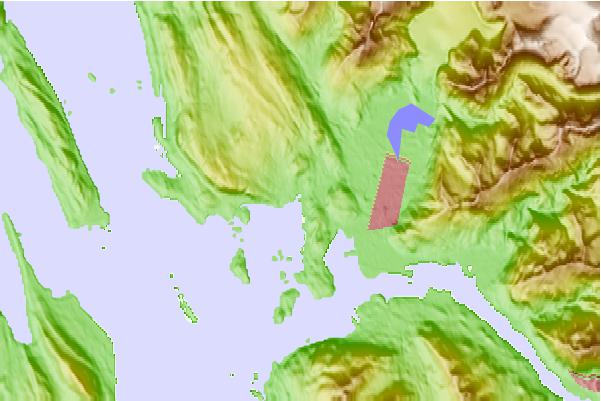
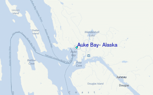
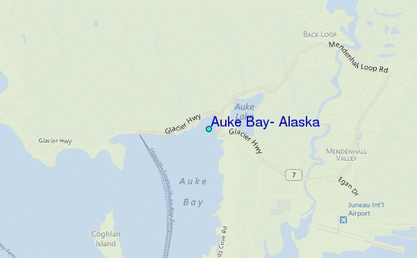
Use this relief map to navigate to tide stations, surf breaks and cities that are in the area of Auke Bay, Alaska.
Other Nearby Locations' tide tables and tide charts to Auke Bay, Alaska:
click location name for more details
 Surf breaks close to Auke Bay, Alaska:
|
||
|---|---|---|
| Closest surf break | Cannon Beach | 198 mi |
| Second closest surf break | Graveyards | 201 mi |
| Third closest surf break | Ocean Cape | 203 mi |
| Fourth closest surf break | Lepus Beach (Haida-Gwaii) | 298 mi |
| Fifth closest surf break | Tow Hill Beach | 317 mi |


 Nearest
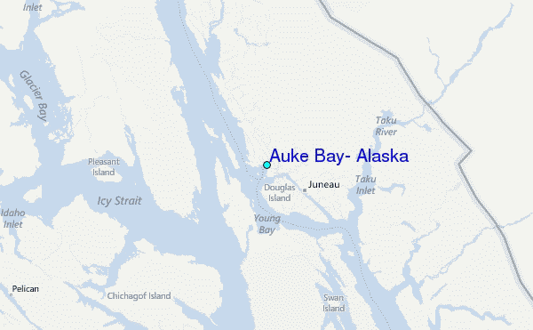