
| Distance / Altitude | Location | Report Date / Time | Live Weather | Wind | Gusts | Temp. | Visibility | Cloud |
|---|---|---|---|---|---|---|---|---|
| 5 km NE / 7 m | Linden Airport (New jersey) | 2026-01-04 22:35 local (2026/01/05 03:35 GMT) | Dry and partly cloudy | light winds from the WNW (13 km/h at 290) | -1°C | 16 | broken | |
| 12 km ENE / 3 m | BUOY-MHRN6 (Marine) | 2026-01-04 22:48 local (2026/01/05 03:48 GMT) | moderate winds from the W (24 km/h at 260) | — | - | |||
| 15 km NE / 218 m | Newark Airport (New Jersey) | 2026-01-04 21:51 local (2026/01/05 02:51 GMT) | Dry and partly cloudy | light winds from the WSW (15 km/h at 250) | -1°C | 16 | broken | |
| 20 km ENE / 3 m | BUOY-ROBN4 (Marine) | 2026-01-04 22:48 local (2026/01/05 03:48 GMT) | moderate winds from the WNW (28 km/h at 290) | — | - | |||
| 25 km NW / 174 m | Morristown Municipal Airport (New Jersey) | 2026-01-04 22:35 local (2026/01/05 03:35 GMT) | Dry and cloudy | light winds from the SW (11 km/h at 230) | -2°C | 16 | overcast | |
| 26 km ENE / 7 m | Downtown Manhattan/Wall Street Heliport Airport (New york) | 2026-01-04 21:56 local (2026/01/05 02:56 GMT) | Dry and cloudy | light winds from the W.(Wind varies from 230 to 310 degs) (13 km/h at 260) | 0°C | 16 | overcast | |
| 26 km ESE / 3 m | BUOY-SDHN4 (Marine) | 2026-01-04 22:48 local (2026/01/05 03:48 GMT) | moderate winds from the W (28 km/h at 270) | — | - | |||
| 27 km ENE / 3 m | BUOY-BATN6 (Marine) | 2026-01-04 22:48 local (2026/01/05 03:48 GMT) | - (- km/h at -) | — | - | |||
| 33 km WSW / 215 m | Somerville Airport (New Jersey) | 2026-01-04 21:53 local (2026/01/05 02:53 GMT) | Dry and cloudy | light winds from the S (6 km/h at 180) | -3°C | 16 | overcast | |
| 34 km N / 218 m | Caldwell Airport (New Jersey) | 2026-01-04 21:53 local (2026/01/05 02:53 GMT) | Dry and cloudy | light winds from the WSW (7 km/h at 250) | -1°C | 16 | overcast |
| Contours: | Roads & Rivers: | Select a
tide station / surf break / city |
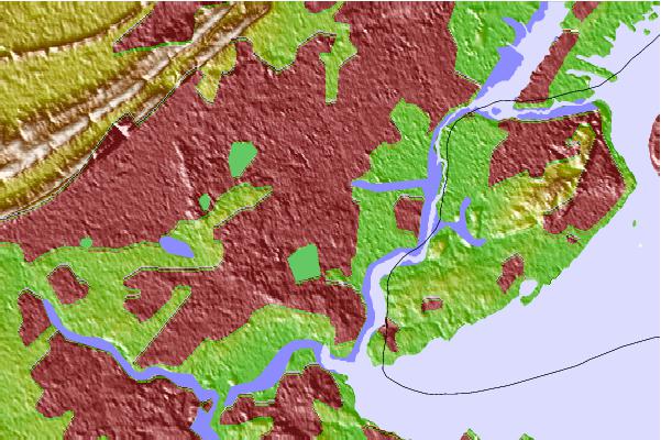
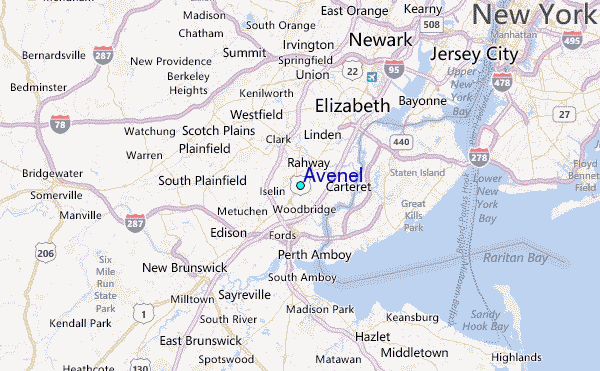
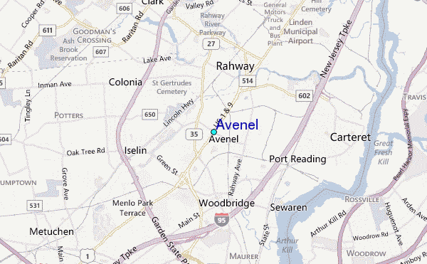
Use this relief map to navigate to tide stations, surf breaks and cities that are in the area of Avenel.
Other Nearby Locations' tide tables and tide charts to Avenel:
click location name for more details
 Surf breaks close to Avenel:
|
||
|---|---|---|
| Closest surf break | The Cove at Sandy Hook | 18 mi |
| Second closest surf break | 1st Parking Lot | 19 mi |
| Third closest surf break | Sandy Hook/The Cove | 20 mi |
| Fourth closest surf break | Sands | 22 mi |
| Fifth closest surf break | Rockaway | 22 mi |


 Nearest
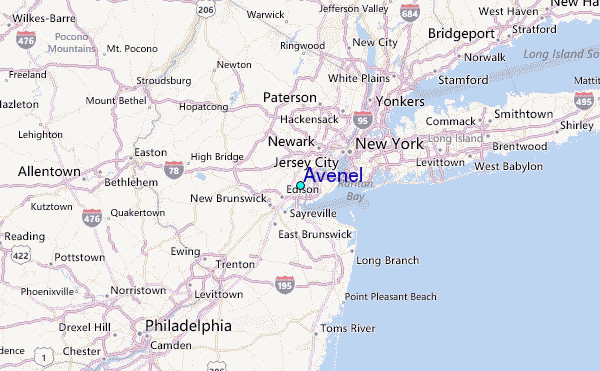