
| Distance / Altitude | Location | Report Date / Time | Live Weather | Wind | Gusts | Temp. | Visibility | Cloud |
|---|---|---|---|---|---|---|---|---|
| 2 km S / 5 m | lightning 7km SSW of Centerville (United States) | 2024-07-26 19:05 local (2024/07/26 23:05 GMT) | Thunderstorm | (- km/h at -) | — | |||
| 9 km ESE / 9 m | lightning 5km S of Ladson (United States) | 2024-07-26 19:32 local (2024/07/26 23:32 GMT) | Thunderstorm | (- km/h at -) | — | |||
| 14 km NW / 18 m | Summerville Airport (South Carolina) (South Carolina) | 2024-07-26 20:35 local (2024/07/27 00:35 GMT) | Dry and cloudy | calm (0 km/h at 0) | 24°C | 16 | overcast | |
| 17 km ESE / 216 m | Charleston Airport (South Carolina) | 2024-07-26 20:31 local (2024/07/27 00:31 GMT) | Light rain | light winds from the NW (9 km/h at 310) | 25°C | 11 | scattered broken broken | |
| 18 km SE / 4 m | lightning 6km N of Shell Point (United States) | 2024-07-26 19:32 local (2024/07/26 23:32 GMT) | Thunderstorm | (- km/h at -) | — | |||
| 19 km NNE / 28 m | lightning 12km N of Summerville (United States) | 2024-07-26 19:02 local (2024/07/26 23:02 GMT) | Thunderstorm | (- km/h at -) | — | |||
| 23 km N / 22 m | lightning 11km NNE of Ridgeville (United States) | 2024-07-26 19:04 local (2024/07/26 23:04 GMT) | Thunderstorm | (- km/h at -) | — | |||
| 27 km NE / 17 m | lightning 5km SSW of Moncks Corner (United States) | 2024-07-26 19:04 local (2024/07/26 23:04 GMT) | Thunderstorm | (- km/h at -) | — | |||
| 29 km ESE / 15 m | SHIP7644 (Marine) | 2024-07-26 21:00 local (2024/07/27 01:00 GMT) | calm (3.6 km/h at 350) | 31°C | - km | |||
| 29 km ESE / 15 m | SHIP5738 (Marine) | 2024-07-26 19:00 local (2024/07/26 23:00 GMT) | light winds from the S (7.5600000000000005 km/h at 190) | 31°C | - km |
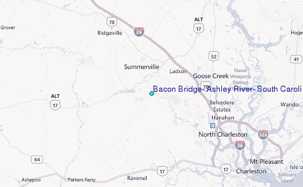
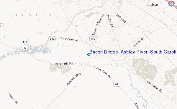
Choose Bacon Bridge, Ashley River, South Carolina Location Map Zoom:
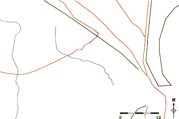
| Contours: | Roads & Rivers: | Select a
tide station / surf break / city |
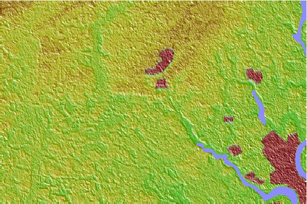

Use this relief map to navigate to tide stations, surf breaks and cities that are in the area of Bacon Bridge, Ashley River, South Carolina.
Other Nearby Locations' tide tables and tide charts to Bacon Bridge, Ashley River, South Carolina:
click location name for more details
 Surf breaks close to Bacon Bridge, Ashley River, South Carolina:
|
||
|---|---|---|
| Closest surf break | Berts Bar | 25 mi |
| Second closest surf break | Folly Beach Pier | 26 mi |
| Third closest surf break | Folly Beach | 26 mi |
| Fourth closest surf break | The Washout | 26 mi |
| Fifth closest surf break | 35th Street Iop | 28 mi |

 Nearest
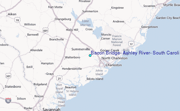