
| Distance / Altitude | Location | Report Date / Time | Live Weather | Wind | Gusts | Temp. | Visibility | Cloud |
|---|---|---|---|---|---|---|---|---|
| 82 km E / 212 m | Havana/Jose Martí Airport (Cuba) | 2026-04-03 22:50 local (2026/04/04 02:50 GMT) | - | light winds from the E (15 km/h at 80) | 23°C | 9.0 | few | |
| 137 km N / 3 m | SHIP1695 (Marine) | 2026-04-03 22:00 local (2026/04/04 02:00 GMT) | - (- km/h at -) | 24°C | - | |||
| 137 km N / 15 m | SHIP8454 (Marine) | 2026-04-03 22:00 local (2026/04/04 02:00 GMT) | - (- km/h at -) | — | - km | |||
| 137 km N / 3 m | SHIP4643 (Marine) | 2026-04-04 00:00 local (2026/04/04 04:00 GMT) | - (- km/h at -) | 24°C | - | |||
| 137 km N / 3 m | SHIP2814 (Marine) | 2026-04-03 22:00 local (2026/04/04 02:00 GMT) | - (- km/h at -) | 24°C | - | |||
| 137 km N / 3 m | SHIP6243 (Marine) | 2026-04-03 22:00 local (2026/04/04 02:00 GMT) | - (- km/h at -) | 24°C | - | |||
| 137 km N / 3 m | SHIP4944 (Marine) | 2026-04-03 22:00 local (2026/04/04 02:00 GMT) | - (- km/h at -) | 24°C | - | |||
| 137 km N / 15 m | SHIP4261 (Marine) | 2026-04-03 22:00 local (2026/04/04 02:00 GMT) | - (- km/h at -) | — | - km | |||
| 137 km N / 3 m | SHIP6987 (Marine) | 2026-04-03 22:00 local (2026/04/04 02:00 GMT) | - (- km/h at -) | 24°C | - | |||
| 137 km N / 15 m | SHIP2767 (Marine) | 2026-04-04 00:00 local (2026/04/04 04:00 GMT) | - (- km/h at -) | — | - km |
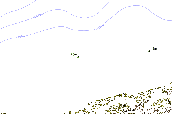
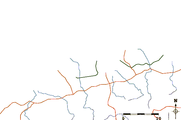
| Contours: | Roads & Rivers: | Select a
tide station / surf break / city |
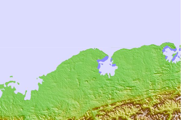
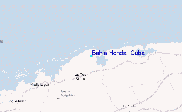
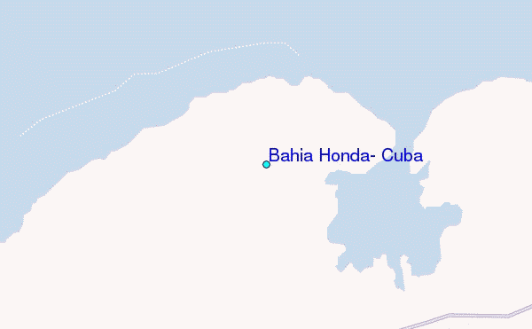
Use this relief map to navigate to tide stations, surf breaks and cities that are in the area of Bahía Honda, Cuba.
Other Nearby Locations' tide tables and tide charts to Bahia Honda, Cuba:
click location name for more details
 Surf breaks close to Bahia Honda, Cuba:
|
||
|---|---|---|
| Closest surf break | Naples Pier | 232 mi |
| Second closest surf break | Wiggins Pass | 245 mi |
| Third closest surf break | South Beach (Miami) | 274 mi |
| Fourth closest surf break | Fifth Street (Miami) | 275 mi |
| Fifth closest surf break | 21st Street (Miami) | 276 mi |


 Nearest
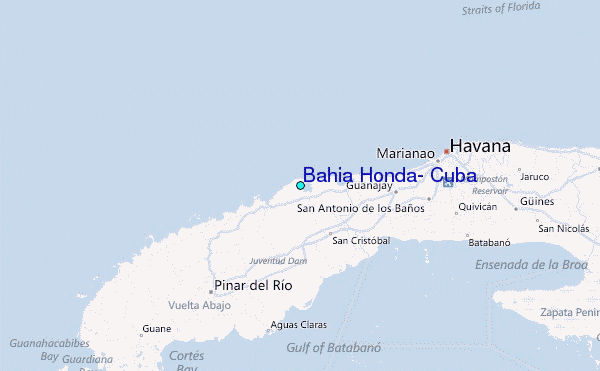