
| Distance / Altitude | Location | Report Date / Time | Live Weather | Wind | Gusts | Temp. | Visibility | Cloud |
|---|---|---|---|---|---|---|---|---|
| 3 km S / 3 m | BUOY-PEGF1 (Marine) | 2025-12-26 06:00 local (2025/12/26 11:00 GMT) | light winds from the WNW (11 km/h at 300) | 19°C | - | |||
| 7 km SSW / 218 m | Fort Lauderdale/Holly Airport (Florida) | 2025-12-26 04:53 local (2025/12/26 09:53 GMT) | - | light winds from the NW (9 km/h at 320) | 18°C | 16 | few | |
| 11 km E / 3 m | SHIP2527 (Marine) | 2025-12-26 06:00 local (2025/12/26 11:00 GMT) | - (- km/h at -) | 21°C | - | |||
| 12 km WNW / 218 m | Fort Lauderdale Executive Airport (Florida) | 2025-12-26 04:53 local (2025/12/26 09:53 GMT) | Clear | light winds from the WNW (7 km/h at 300) | 18°C | 16 | ||
| 13 km S / 15 m | SHIP2940 (Marine) | 2025-12-26 06:00 local (2025/12/26 11:00 GMT) | - (- km/h at -) | — | - km | |||
| 13 km S / 3 m | SHIP1301 (Marine) | 2025-12-26 04:00 local (2025/12/26 09:00 GMT) | - (- km/h at -) | 18°C | - | |||
| 13 km S / 15 m | SHIP3389 (Marine) | 2025-12-26 05:00 local (2025/12/26 10:00 GMT) | - (- km/h at -) | — | - km | |||
| 13 km S / 3 m | SHIP5873 (Marine) | 2025-12-26 04:00 local (2025/12/26 09:00 GMT) | - (- km/h at -) | 18°C | - | |||
| 13 km S / 15 m | SHIP3889 (Marine) | 2025-12-26 04:00 local (2025/12/26 09:00 GMT) | - (- km/h at -) | — | - km | |||
| 13 km S / 3 m | SHIP7070 (Marine) | 2025-12-26 04:00 local (2025/12/26 09:00 GMT) | - (- km/h at -) | 18°C | - |
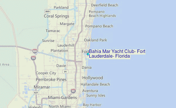
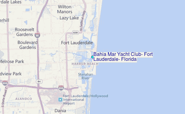
Choose Bahia Mar Yacht Club, Fort Lauderdale, Florida Location Map Zoom:
| Contours: | Roads & Rivers: | Select a
tide station / surf break / city |
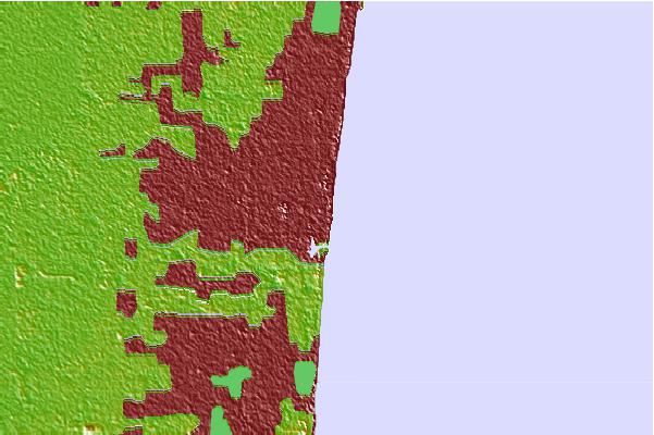
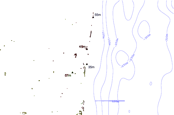
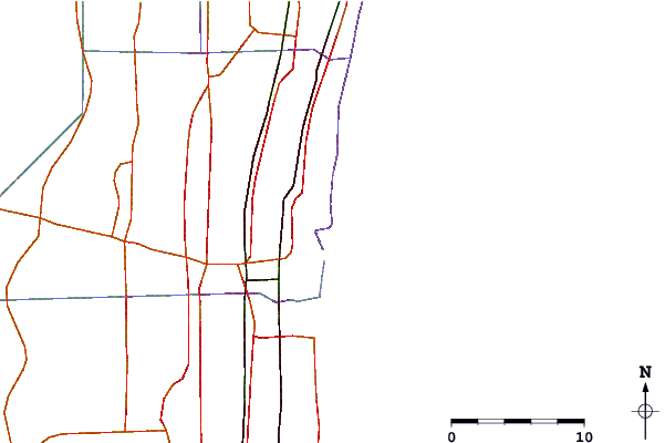
Use this relief map to navigate to tide stations, surf breaks and cities that are in the area of Bahía Mar Yacht Club, Fort Lauderdale, Florida.
Other Nearby Locations' tide tables and tide charts to Bahia Mar Yacht Club, Fort Lauderdale, Florida:
click location name for more details
 Surf breaks close to Bahia Mar Yacht Club, Fort Lauderdale, Florida:
|
||
|---|---|---|
| Closest surf break | Fort Lauderdale 14th Street | 2 mi |
| Second closest surf break | Dania South Beach | 4 mi |
| Third closest surf break | Dunes Motel | 12 mi |
| Fourth closest surf break | Deerfield Park Pier | 13 mi |
| Fifth closest surf break | Deerfield Beach Pier | 14 mi |


 Nearest
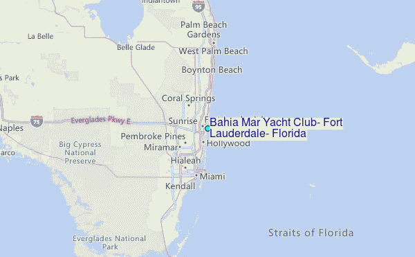