
| Distance / Altitude | Location | Report Date / Time | Live Weather | Wind | Gusts | Temp. | Visibility | Cloud |
|---|---|---|---|---|---|---|---|---|
| 31 km NE / 67 m | Metetí wx (Panama) | 2026-03-17 20:38 local (2026/03/18 01:38 GMT) | dry | calm (2 km/h at 337) | 29°C | - | - - 0 | |
| 86 km S / 1 m | Jaqué wx (Panama) | 2026-03-17 20:38 local (2026/03/18 01:38 GMT) | dry | wind obs. (6 kph from 345 degs) was rejected (- km/h at -) | 26°C | - | - - 0 | |
| 94 km ENE / 48 m | Puerto Obaldía wx (Panama) | 2026-03-17 20:38 local (2026/03/18 01:38 GMT) | dry | light winds from the NNW (13 km/h at 347) | 28°C | - | - - 0 | |
| 154 km W / 208 m | Tocumen Airport (Panama) | 2026-03-17 19:00 local (2026/03/18 00:00 GMT) | - | light winds from the W.(Wind varies from 250 to 310 degs) (17 km/h at 280) | 30°C | 10.0 | few | |
| 161 km W / 8 m | San Fernando wx (Panama) | 2026-03-17 20:16 local (2026/03/18 01:16 GMT) | dry | light winds from the NW (10 km/h at 314) | 28°C | - | - - 0 | |
| 161 km W / 8 m | San Fernando wx (Panama) | 2026-03-17 20:40 local (2026/03/18 01:40 GMT) | - | - (- km/h at ) | 33°C | - | - - 0 | |
| 162 km W / 20 m | Pedregal wx (Panama) | 2026-03-17 20:48 local (2026/03/18 01:48 GMT) | light rain | calm (0 km/h at 315) | — | - | - - 0 | |
| 163 km W / 19 m | San Antonio wx (Panama) | 2026-03-17 19:26 local (2026/03/18 00:26 GMT) | - | - (- km/h at ) | 37°C | - | - - 0 | |
| 164 km W / 101 m | Las Trancas wx (Panama) | 2026-03-17 20:14 local (2026/03/18 01:14 GMT) | dry | calm (5 km/h at 18) | 27°C | - | - - 0 | |
| 165 km W / 367 m | Marcos Gelabert Airport (Panama) | 2026-03-17 19:00 local (2026/03/18 00:00 GMT) | - | light winds from the NW (15 km/h at 320) | 29°C | 10.0 | few |
| Contours: | Roads & Rivers: | Select a
tide station / surf break / city |
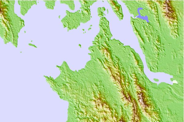
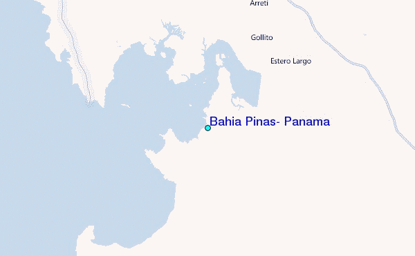
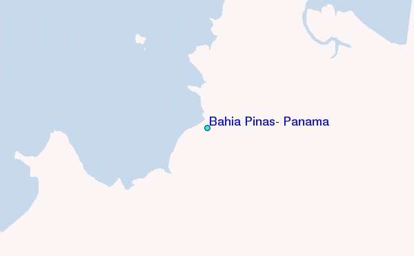
Use this relief map to navigate to tide stations, surf breaks and cities that are in the area of Bahia Pinas, Panama.
Other Nearby Locations' tide tables and tide charts to Bahia Pinas, Panama:
click location name for more details
 Surf breaks close to Bahia Pinas, Panama:
|
||
|---|---|---|
| Closest surf break | La Zurda | 102 mi |
| Second closest surf break | Nuevo Loco | 102 mi |
| Third closest surf break | Panama La Vieja | 102 mi |
| Fourth closest surf break | Playa Mojon | 102 mi |
| Fifth closest surf break | Las Bovedas | 103 mi |


 Nearest
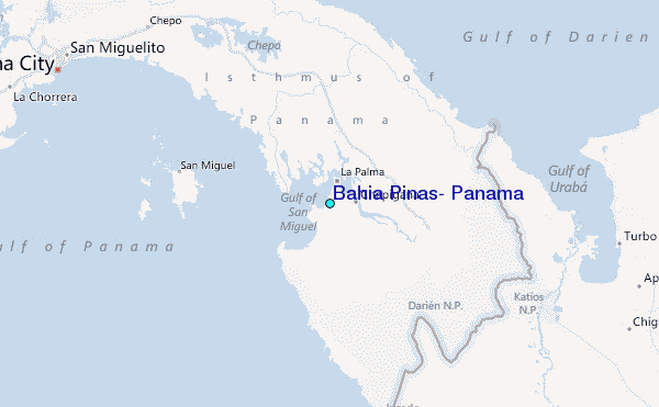