
| Distance / Altitude | Location | Report Date / Time | Live Weather | Wind | Gusts | Temp. | Visibility | Cloud |
|---|---|---|---|---|---|---|---|---|
| 24 km ENE / 5 m | Horn Island Automatic Weather Station (Australia) | 2025-12-24 21:00 local (2025/12/24 11:00 GMT) | no report | light winds from the SE (19 km/h at 140) | 26°C | - | - few - | |
| 25 km ENE / 13 m | Horn Island Airport (Australia) | 2025-12-24 20:30 local (2025/12/24 10:30 GMT) | Dry and partly cloudy | calm (4 km/h at 160) | 27°C | 10.0 | no cloud | |
| 25 km ENE / 3 m | SHIP8189 (Marine) | 2025-12-24 20:00 local (2025/12/24 10:00 GMT) | - (- km/h at -) | 28°C | - | |||
| 128 km NE / 4 m | Coconut Island (Australia) | 2025-12-24 21:00 local (2025/12/24 11:00 GMT) | no report | - (- km/h at -) | 26°C | - | - | |
| 213 km S / 40 m | Scherger Raaf (Australia) | 2025-12-24 21:00 local (2025/12/24 11:00 GMT) | No report | calm (4 km/h at 120) | 26°C | - | - mostly cloudy - | |
| 25 km ENE / 15 m | SHIP2928 (Marine) | 2025-12-24 21:00 local (2025/12/24 11:00 GMT) | - (- km/h at -) | 30°C | - km | |||
| 25 km ENE / 15 m | SHIP6516 (Marine) | 2025-12-24 20:00 local (2025/12/24 10:00 GMT) | - (- km/h at -) | 30°C | - km | |||
| 31 km NE / 15 m | SHIP2162 (Marine) | 2025-12-24 19:00 local (2025/12/24 09:00 GMT) | calm (3.6 km/h at 170) | 31°C | - km | |||
| 31 km NE / 15 m | SHIP4206 (Marine) | 2025-12-24 19:00 local (2025/12/24 09:00 GMT) | calm (3.6 km/h at 170) | 31°C | - km | |||
| 31 km NE / 15 m | SHIP3677 (Marine) | 2025-12-24 19:00 local (2025/12/24 09:00 GMT) | calm (3.6 km/h at 170) | 31°C | - km |
| Contours: | Roads & Rivers: | Select a
tide station / surf break / city |
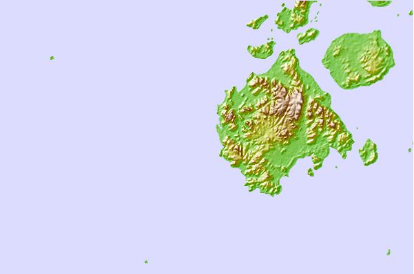
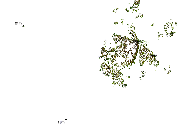
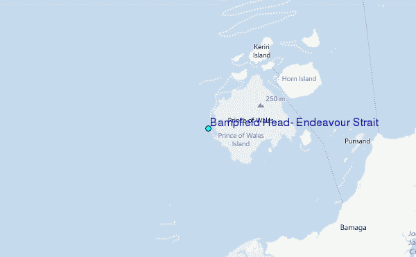
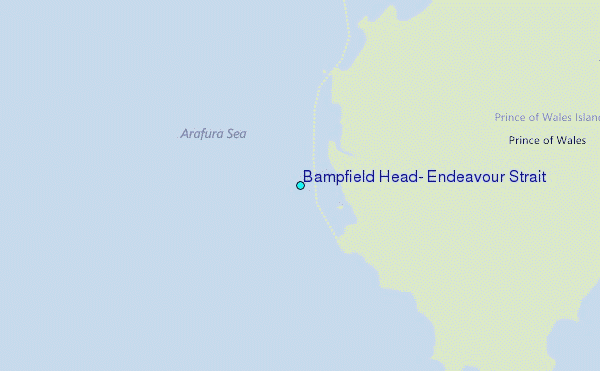
Use this relief map to navigate to tide stations, surf breaks and cities that are in the area of Bampfield Head, Endeavour Strait.
Other Nearby Locations' tide tables and tide charts to Bampfield Head, Endeavour Strait:
click location name for more details
 Surf breaks close to Bampfield Head, Endeavour Strait:
|
||
|---|---|---|
| Closest surf break | Tupira Right | 489 mi |
| Second closest surf break | Forok Point | 503 mi |
| Third closest surf break | The Wharf (Mission Point) | 505 mi |
| Fourth closest surf break | Wewak Point | 505 mi |
| Fifth closest surf break | Moem Point | 506 mi |


 Nearest
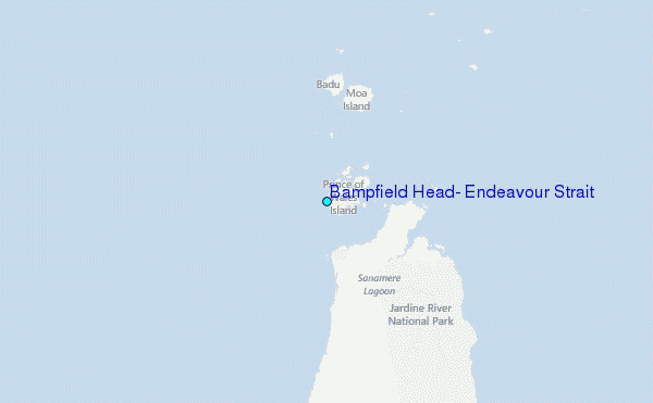