
| Distance / Altitude | Location | Report Date / Time | Live Weather | Wind | Gusts | Temp. | Visibility | Cloud |
|---|---|---|---|---|---|---|---|---|
| 52 km ENE / 15 m | ASCATB130E4S (Marine) | 2025-12-26 08:49 local (2025/12/25 23:49 GMT) | light winds from the N (16 km/h at 350) | — | - km | |||
| 82 km WSW / 15 m | ASCATB129E4S (Marine) | 2025-12-26 08:49 local (2025/12/25 23:49 GMT) | light winds from the NW (15 km/h at 322) | — | - km | |||
| 97 km E / 15 m | ASCATB131E4S (Marine) | 2025-12-26 08:49 local (2025/12/25 23:49 GMT) | light winds from the NNE (16 km/h at 16) | — | - km | |||
| 98 km S / 15 m | ASCATB130E5S (Marine) | 2025-12-26 08:49 local (2025/12/25 23:49 GMT) | moderate winds from the NNW (21 km/h at 334) | — | - km | |||
| 139 km SE / 15 m | ASCATB131E5S (Marine) | 2025-12-26 08:49 local (2025/12/25 23:49 GMT) | moderate winds from the NNW (21 km/h at 330) | — | - km | |||
| 146 km SSW / 15 m | ASCATB129E5S (Marine) | 2025-12-26 08:49 local (2025/12/25 23:49 GMT) | light winds from the NNW (19 km/h at 327) | — | - km | |||
| 185 km W / 1 m | Leahari wx (Indonesia) | 2025-12-26 09:49 local (2025/12/26 00:49 GMT) | - | - (- km/h at ) | 32°C | - | - - 0 | |
| 193 km W / 99 m | Kebon Cengkeh wx (Indonesia) | 2025-12-26 10:15 local (2025/12/26 01:15 GMT) | - | calm (0 km/h at 0) | — | - | - - 0 | |
| 203 km W / 12 m | AmbonPattimura (Indonesia) | 2025-12-26 08:00 local (2025/12/25 23:00 GMT) | - | calm (2 km/h at 320) | 26°C | 30 km | mostly cloudy | |
| 205 km W / 12 m | Ambon-Pattimura (Indonesia) | 2025-12-26 09:30 local (2025/12/26 00:30 GMT) | Dry and partly cloudy | light winds from the ENE (15 km/h at 60) | 29°C | 10.0 | scattered |
| Contours: | Roads & Rivers: | Select a
tide station / surf break / city |
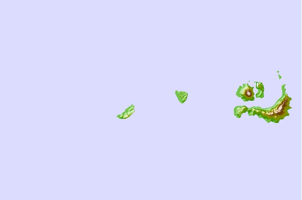
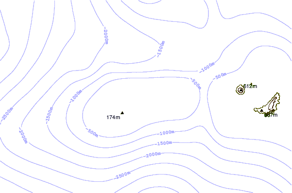
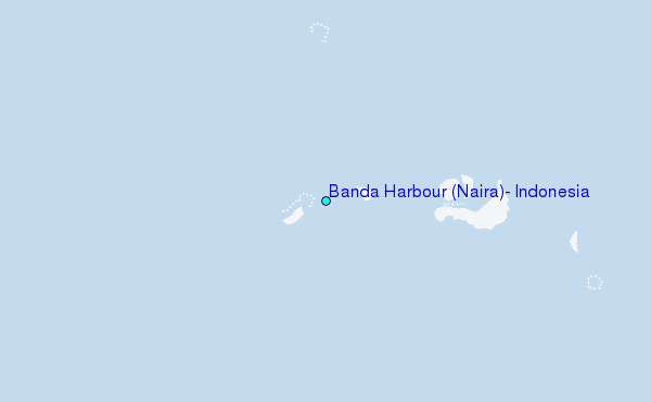
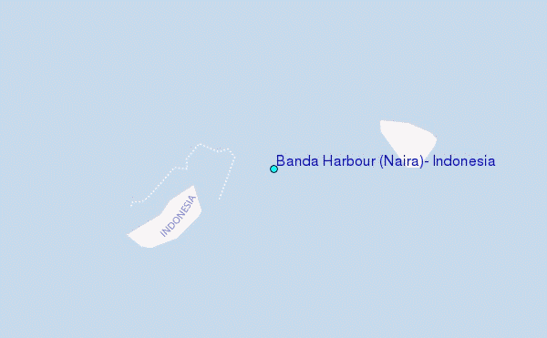
Use this relief map to navigate to tide stations, surf breaks and cities that are in the area of Banda Harbour (Naira), Indonesia.
Other Nearby Locations' tide tables and tide charts to Banda Harbour (Naira), Indonesia:
click location name for more details
 Surf breaks close to Banda Harbour (Naira), Indonesia:
|
||
|---|---|---|
| Closest surf break | Digger | 452 mi |
| Second closest surf break | Nembrala | 538 mi |
| Third closest surf break | Casuarina (Darwin) | 540 mi |
| Fourth closest surf break | Rapid Creek - Beach | 547 mi |
| Fifth closest surf break | Rapid Creek - Bar | 548 mi |


 Nearest
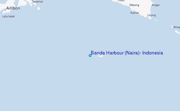