
| Distance / Altitude | Location | Report Date / Time | Live Weather | Wind | Gusts | Temp. | Visibility | Cloud |
|---|---|---|---|---|---|---|---|---|
| 107 km S / 3 m | Khassab (mil) (Oman) | 2026-04-20 03:20 local (2026/04/19 23:50 GMT) | - | wind obs. (9 kph from 10 degs) was rejected (- km/h at -) | 26°C | |||
| 197 km W / 629 m | Lar Airport (Iran) | 2026-04-20 03:30 local (2026/04/20 00:00 GMT) | - | calm (0 km/h at 0) | — | 0.0 | ||
| 303 km S / 4 m | Sohar Majis Airport (Oman) | 2026-04-20 03:20 local (2026/04/19 23:50 GMT) | - | light winds from the W (13 km/h at 260) | 27°C | |||
| 324 km WNW / 1387 m | Fasa Airport (Iran, Islamic Rep) | 2026-04-20 03:30 local (2026/04/20 00:00 GMT) | Dry and partly cloudy | light winds from the W (7 km/h at 280) | 14°C | 8.0 | no significant cloud | |
| 346 km N / 1739 m | Kerman Airport (Iran, Islamic Rep) | 2026-04-20 03:30 local (2026/04/20 00:00 GMT) | - | light winds from the SSW (11 km/h at 200) | — | 0.0 | ||
| 395 km WSW / 663 m | Jam Airport (Iran) | 2026-04-20 03:30 local (2026/04/20 00:00 GMT) | - | calm (2 km/h at 1) | 19°C | |||
| 438 km E / 657 m | Iranshahr Airport (Iran, Islamic Rep) | 2026-04-20 03:30 local (2026/04/20 00:00 GMT) | - | calm (0 km/h at 0) | — | 0.0 | ||
| 448 km SSE / 215 m | Seeb International Airport-Muscat (Oman) | 2026-04-20 03:20 local (2026/04/19 23:50 GMT) | - | light winds from the S.(Wind varies from 170 to 230 degs) (7 km/h at 180) | — | 0.0 | - - - | |
| 448 km SSE / 15 m | Athaiba (Oman) | 2026-04-20 04:30 local (2026/04/20 01:00 GMT) | - | wind obs. (11 kph from 114 degs) was rejected (- km/h at -) | — | - | - - 0 | |
| 515 km SW / 7 m | Doha Hamad International Airport (Qatar) | 2026-04-20 03:30 local (2026/04/20 00:00 GMT) | - | calm (4 km/h at 1) | — | 0.0 |
| Contours: | Roads & Rivers: | Select a
tide station / surf break / city |
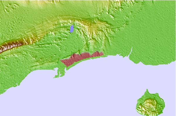

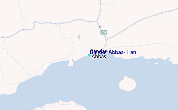
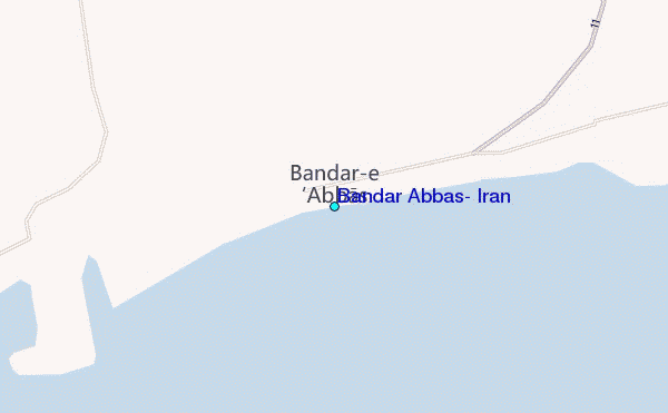
Use this relief map to navigate to tide stations, surf breaks and cities that are in the area of Bandar Abbas, Iran.
Other Nearby Locations' tide tables and tide charts to Bandar Abbas, Iran:
click location name for more details
 Surf breaks close to Bandar Abbas, Iran:
|
||
|---|---|---|
| Closest surf break | Al Hamra - Ras Al Khema | 107 mi |
| Second closest surf break | Tim's Reef | 117 mi |
| Third closest surf break | Jumeirah Beach | 156 mi |
| Fourth closest surf break | Jebal Ali Lefts | 173 mi |
| Fifth closest surf break | Sur | 377 mi |


 Nearest
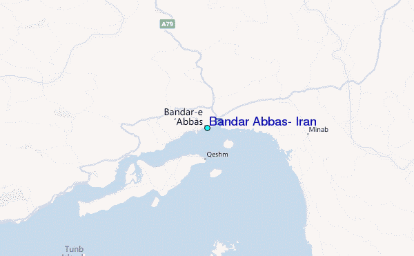