
| Distance / Altitude | Location | Report Date / Time | Live Weather | Wind | Gusts | Temp. | Visibility | Cloud |
|---|---|---|---|---|---|---|---|---|
| 134 km NW / 629 m | Lar Airport (Iran) | 2026-05-18 03:30 local (2026/05/18 00:00 GMT) | - | calm (0 km/h at 0) | — | 0.0 | ||
| 138 km ESE / 3 m | Khassab (mil) (Oman) | 2026-05-18 02:20 local (2026/05/17 22:50 GMT) | - | wind obs. (15 kph from 20 degs) was rejected (- km/h at -) | 30°C | |||
| 146 km SE / 215 m | Ras AL Khaimah Airport (U. Arab Emirates) | 2026-05-18 02:30 local (2026/05/17 23:00 GMT) | Dry and partly cloudy | light winds from the SW (9 km/h at 220) | 26°C | 8.0 | no significant cloud | |
| 150 km SSE / 217 m | Dubai International Airport (U. Arab Emirates) | 2026-05-18 02:30 local (2026/05/17 23:00 GMT) | - | light winds from the W.(Wind varies from 210 to 300 degs) (17 km/h at 280) | — | 0.0 | ||
| 151 km SSE / 215 m | Sharjah International Airport (U. Arab Emirates) | 2026-05-18 02:30 local (2026/05/17 23:00 GMT) | Dry and partly cloudy | light winds from the WSW (13 km/h at 250) | — | 0.0 | no significant cloud - - | |
| 185 km S / 25 m | Dubai Al Maktoum International Airport (U. arab emirates) | 2026-05-18 02:30 local (2026/05/17 23:00 GMT) | - | light winds from the WNW (17 km/h at 290) | — | 0.0 | ||
| 216 km SE / 212 m | Fujairah International Airport (U. Arab Emirates) | 2026-05-18 02:00 local (2026/05/17 22:30 GMT) | Dry and partly cloudy | light winds from the ENE (6 km/h at 70) | 30°C | 7.0 | few - - | |
| 238 km S / 216 m | Abu Dhabi International Airport (U. Arab Emirates) | 2026-05-18 03:00 local (2026/05/17 23:30 GMT) | - | light winds from the NW (19 km/h at 310) | — | 0.0 | ||
| 240 km S / 211 m | Abu Dhabi/Bateen Airport (U. Arab Emirates) | 2026-05-18 02:30 local (2026/05/17 23:00 GMT) | - | moderate winds from the NW (24 km/h at 320) | — | 0.0 | ||
| 265 km SSE / 707 m | AL Ain International Airport (U. Arab Emirates) | 2026-05-18 03:00 local (2026/05/17 23:30 GMT) | Dry and partly cloudy | light winds from the NNW (19 km/h at 330) | 25°C | 6.0 | scattered |
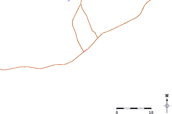
| Contours: | Roads & Rivers: | Select a
tide station / surf break / city |
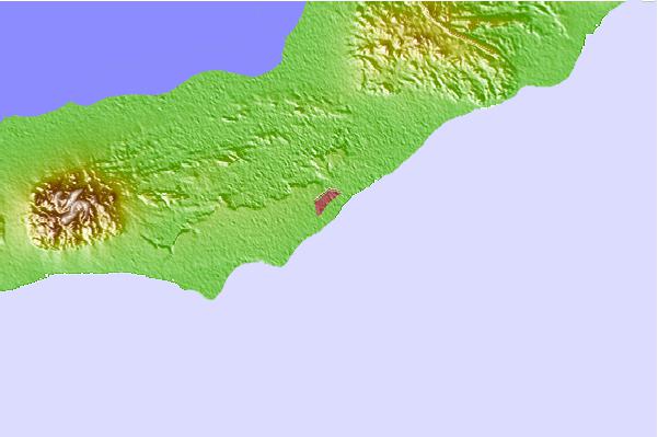
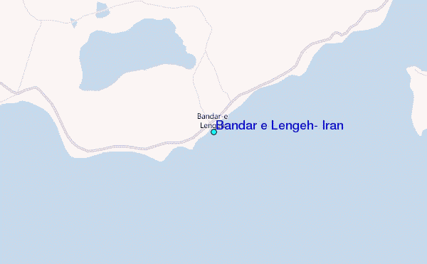
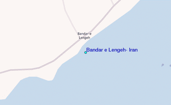
Use this relief map to navigate to tide stations, surf breaks and cities that are in the area of Bandar e Lengeh, Iran.
Other Nearby Locations' tide tables and tide charts to Bandar e Lengeh, Iran:
click location name for more details
 Surf breaks close to Bandar e Lengeh, Iran:
|
||
|---|---|---|
| Closest surf break | Al Hamra - Ras Al Khema | 81 mi |
| Second closest surf break | Jumeirah Beach | 99 mi |
| Third closest surf break | Jebal Ali Lefts | 109 mi |
| Fourth closest surf break | Tim's Reef | 117 mi |
| Fifth closest surf break | Sur | 400 mi |


 Nearest
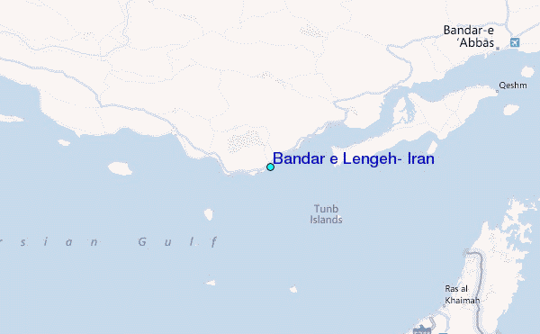