
| Distance / Altitude | Location | Report Date / Time | Live Weather | Wind | Gusts | Temp. | Visibility | Cloud |
|---|---|---|---|---|---|---|---|---|
| 14 km NE / 411 m | Dzaoudzi/Pamanzi Airport (Comoros) | 2025-12-25 14:30 local (2025/12/25 11:30 GMT) | Dry and partly cloudy | light winds from the N.(Wind varies from 340 to 050 degs) (19 km/h at 10) | 30°C | 10.0 | few scattered | |
| 330 km SSE / 194 m | Majunga/Mahajanga Airport (Comoros) | 2025-12-25 14:00 local (2025/12/25 11:00 GMT) | - | moderate winds from the N (22 km/h at 350) | 32°C | 10.0 | few | |
| 342 km E / 113 m | Nosy Be/Fascene Airport (Comoros) | 2025-12-25 14:00 local (2025/12/25 11:00 GMT) | - | calm (4 km/h at 320) | 32°C | 10.0 | few | |
| 449 km E / 294 m | Diego-Suárez/Arrachart Airport (Comoros) | 2025-12-25 15:00 local (2025/12/25 12:00 GMT) | Shower - in the vicinity | moderate winds from the SE (22 km/h at 140) | 31°C | 10.0 | scattered | |
| 509 km WSW / 446 m | Pemba Airport (Mozambique) | 2025-12-25 14:00 local (2025/12/25 11:00 GMT) | - | calm (0 km/h at 0) | 31°C | 10.0 | few few broken | |
| 514 km SW / 125 m | Nacala Airport (Mozambique) | 2025-12-25 14:00 local (2025/12/25 11:00 GMT) | Dry and partly cloudy | fresh winds from the E (30 km/h at 80) | 30°C | 10.0 | few broken | |
| 621 km W / 277 m | Mtwara Airport (Tanzania) | 2025-12-25 13:00 local (2025/12/25 10:00 GMT) | Dry and partly cloudy | moderate winds from the N (22 km/h at 360) | 31°C | 10.0 | broken few - | |
| 684 km SW / 323 m | Nampula Airport (Mozambique) | 2025-12-25 14:00 local (2025/12/25 11:00 GMT) | Dry and partly cloudy | moderate winds from the N (26 km/h at 350) | 29°C | 10.0 | scattered scattered broken | |
| 696 km SSE / 1388 m | Antananarivo/Ivato Airport (Comoros) | 2025-12-25 14:00 local (2025/12/25 11:00 GMT) | - | wind obs. (17 kph from 70 degs) was rejected (- km/h at -) | — | 6.0 | few scattered broken | |
| 731 km SE / 195 m | Tamatave/Toamasina Airport (Comoros) | 2025-12-25 14:00 local (2025/12/25 11:00 GMT) | Dry and partly cloudy | light winds from the ESE.(Wind varies from 080 to 160 degs) (9 km/h at 120) | 29°C | 10.0 | scattered broken |
| Contours: | Roads & Rivers: | Select a
tide station / surf break / city |
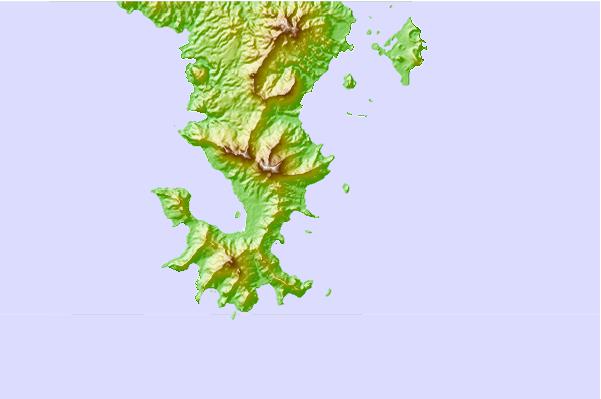
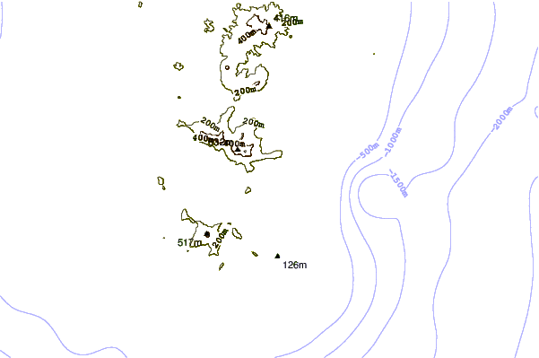
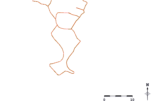
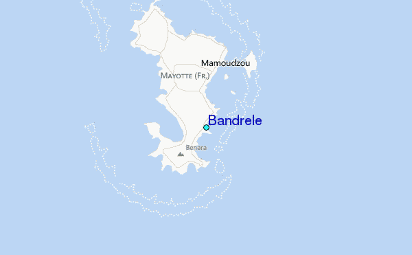
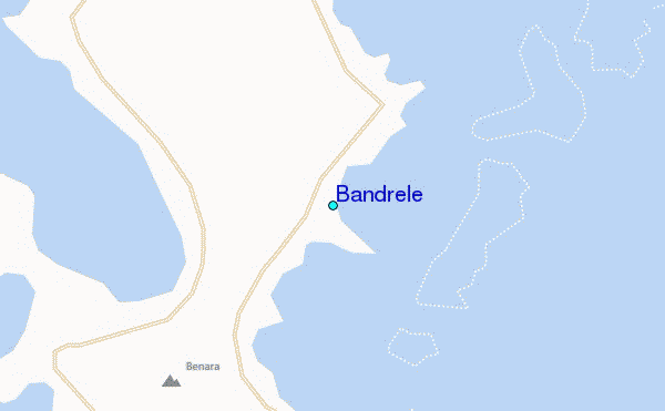
Use this relief map to navigate to tide stations, surf breaks and cities that are in the area of Bandrele.
Other Nearby Locations' tide tables and tide charts to Bandrele:
click location name for more details
 Surf breaks close to Bandrele:
|
||
|---|---|---|
| Closest surf break | Oyster Bay Beach - Coco Beach | 584 mi |
| Second closest surf break | Sea Cliff | 586 mi |
| Third closest surf break | Jam's Right | 588 mi |
| Fourth closest surf break | Nungwi Reefs | 639 mi |
| Fifth closest surf break | Behakio | 715 mi |


 Nearest
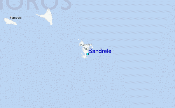