
| Distance / Altitude | Location | Report Date / Time | Live Weather | Wind | Gusts | Temp. | Visibility | Cloud |
|---|---|---|---|---|---|---|---|---|
| 3 km S / 44 m | Bangor (United Kingdom) | 2026-06-27 01:25 local (2026/06/27 00:25 GMT) | dry | calm (5 km/h at 184) | 18°C | - | - - 0 | |
| 6 km NE / 3 m | SHIP908 (Marine) | 2026-06-27 00:00 local (2026/06/26 23:00 GMT) | - (- km/h at -) | 19°C | - | |||
| 15 km SW / 477 m | Belfast Harbour Airport (United Kingdom) | 2026-06-27 00:20 local (2026/06/26 23:20 GMT) | Dry and cloudy | fresh winds from the SSW (30 km/h at 210) | 20°C | 10.0 | overcast | |
| 19 km W / 194 m | Straid wx (United Kingdom) | 2026-06-27 01:23 local (2026/06/27 00:23 GMT) | dry | light winds from the S (8 km/h at 190) | 18°C | - | - - 0 | |
| 6 km NE / 15 m | SHIP4453 (Marine) | 2026-06-27 00:00 local (2026/06/26 23:00 GMT) | - (- km/h at -) | — | - km | |||
| 6 km NE / 15 m | SHIP1529 (Marine) | 2026-06-27 00:00 local (2026/06/26 23:00 GMT) | - (- km/h at -) | — | - km | |||
| 6 km NE / 15 m | SHIP120 (Marine) | 2026-06-27 00:00 local (2026/06/26 23:00 GMT) | - (- km/h at -) | — | - km | |||
| 11 km SSW / 15 m | SHIP4738 (Marine) | 2026-06-26 23:00 local (2026/06/26 22:00 GMT) | - (- km/h at -) | — | - km | |||
| 11 km SSW / 15 m | SHIP629 (Marine) | 2026-06-26 23:00 local (2026/06/26 22:00 GMT) | - (- km/h at -) | — | - km | |||
| 11 km SSW / 15 m | SHIP5158 (Marine) | 2026-06-26 23:00 local (2026/06/26 22:00 GMT) | - (- km/h at -) | — | - km |
| Contours: | Roads & Rivers: | Select a
tide station / surf break / city |
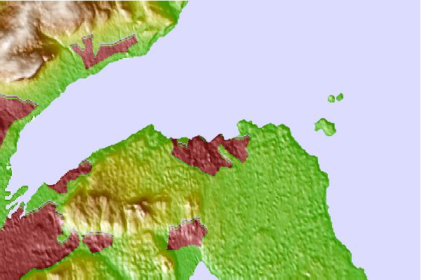
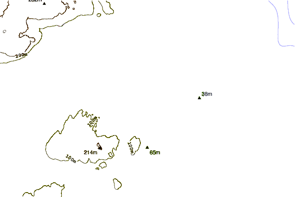
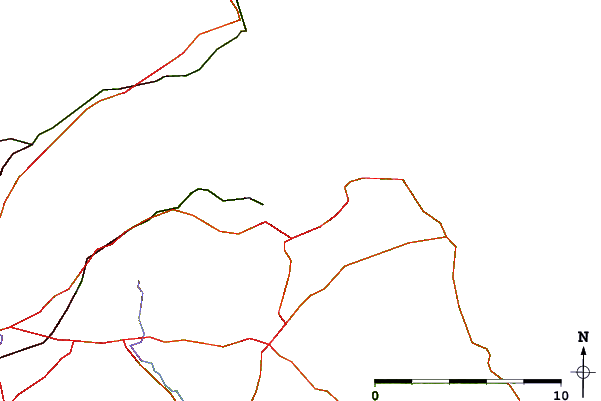
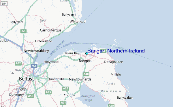
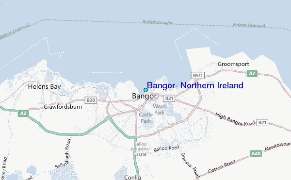
Use this relief map to navigate to tide stations, surf breaks and cities that are in the area of Bangor, Northern Ireland.
Other Nearby Locations' tide tables and tide charts to Bangor, Northern Ireland:
click location name for more details
 Surf breaks close to Bangor, Northern Ireland:
|
||
|---|---|---|
| Closest surf break | Ballycastle | 44 mi |
| Second closest surf break | Carskiey Bay | 44 mi |
| Third closest surf break | Dunaverty Bay | 44 mi |
| Fourth closest surf break | Southend Reef | 44 mi |
| Fifth closest surf break | White Park Bay | 49 mi |


 Nearest
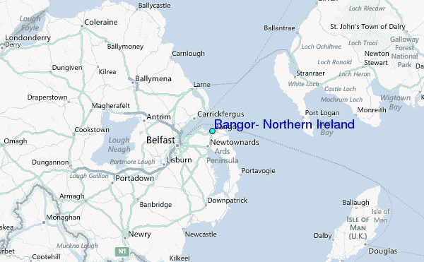