
| Distance / Altitude | Location | Report Date / Time | Live Weather | Wind | Gusts | Temp. | Visibility | Cloud |
|---|---|---|---|---|---|---|---|---|
| 62 km SSE / 15 m | SHIP2227 (Marine) | 2026-01-15 14:00 local (2026/01/15 06:00 GMT) | fresh winds from the WSW (37.080000000000005 km/h at 250) | 33°C | 17.7 km | |||
| 64 km SSE / 216 m | Bali International Airport (Indonesia) | 2026-01-15 14:30 local (2026/01/15 06:30 GMT) | Dry and partly cloudy | moderate winds from the W (24 km/h at 260) | 30°C | 10.0 | few scattered | |
| 158 km ESE / 97 m | Bandara Airport (Indonesia) | 2026-01-15 14:30 local (2026/01/15 06:30 GMT) | Dry and partly cloudy | moderate winds from the NW.(Wind varies from 280 to 340 degs) (26 km/h at 310) | 29°C | 8.0 | broken | |
| 258 km W / 2 m | Juanda Airport (Indonesia) | 2026-01-15 14:39 local (2026/01/15 06:39 GMT) | Thunderstorm heavy rain thunderstorm | fresh winds from the WSW (30 km/h at 250) | 24°C | 0.3 | scattered | |
| 310 km WSW / 132 m | Plongko wx (Indonesia) | 2026-01-15 14:41 local (2026/01/15 06:41 GMT) | - | calm (0 km/h at 0) | — | - | - - 0 | |
| 310 km WSW / 132 m | Plongko wx (Indonesia) | 2026-01-15 14:41 local (2026/01/15 06:41 GMT) | - | calm (0 km/h at 0) | — | - | - - 0 | |
| 517 km W / 152 m | Bukitsari wx (Indonesia) | 2026-01-15 13:30 local (2026/01/15 05:30 GMT) | - | - (- km/h at ) | 28°C | - | - - 0 | |
| 523 km W / 5 m | Ahmad Yani International Airport (Indonesia) | 2026-01-15 14:30 local (2026/01/15 06:30 GMT) | Dry and partly cloudy | light winds from the W.(Wind varies from 220 to 310 degs) (15 km/h at 270) | 29°C | 7.0 | broken | |
| 525 km N / 20 m | Syamsudin Noor International Airport (Indonesia) | 2026-01-15 14:30 local (2026/01/15 06:30 GMT) | Dry and partly cloudy | light winds from the NW (17 km/h at 320) | 32°C | 10.0 | scattered | |
| 569 km WSW / 2039 m | Dieng Kulon wx (Indonesia) | 2026-01-15 14:17 local (2026/01/15 06:17 GMT) | - | wind obs. (32 kph from 92 degs) was rejected (- km/h at -) | 10°C | - | - - 0 |
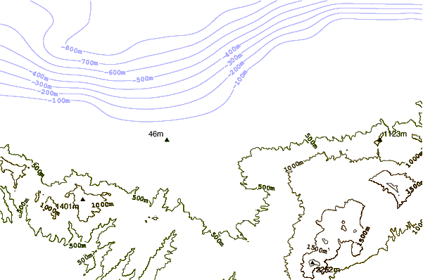
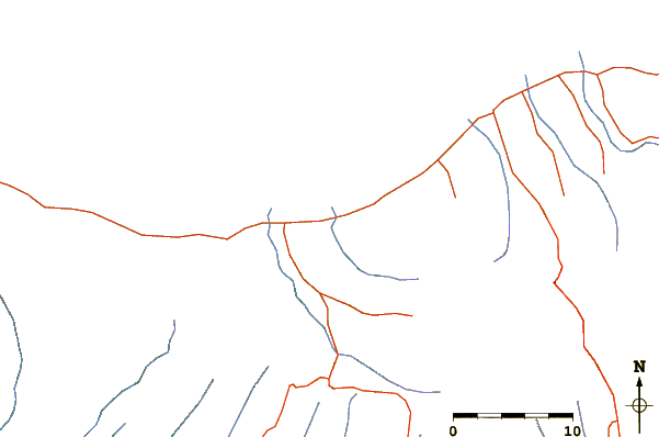
| Contours: | Roads & Rivers: | Select a
tide station / surf break / city |
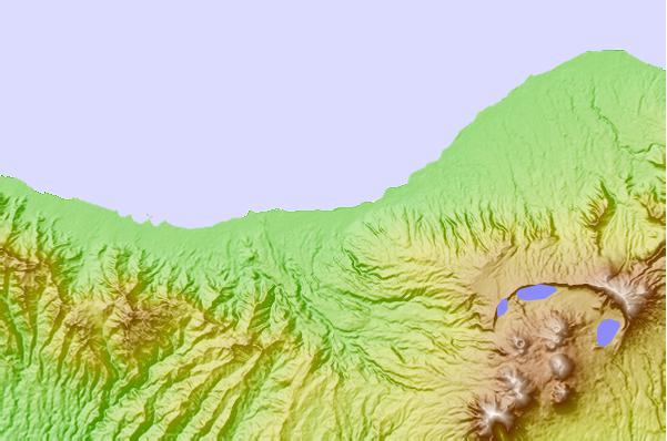
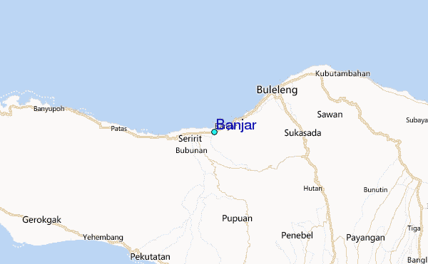
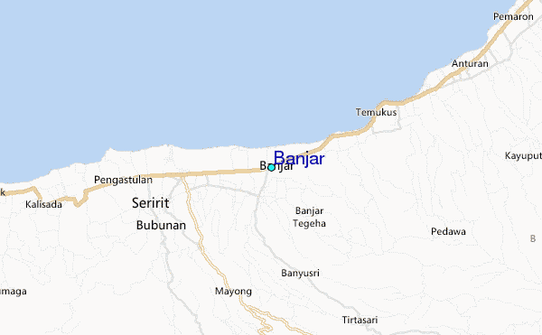
Use this relief map to navigate to tide stations, surf breaks and cities that are in the area of Banjar.
Other Nearby Locations' tide tables and tide charts to Banjar:
click location name for more details
 Surf breaks close to Banjar:
|
||
|---|---|---|
| Closest surf break | Medewi | 20 mi |
| Second closest surf break | Balian | 22 mi |
| Third closest surf break | Canggu | 35 mi |
| Fourth closest surf break | Pererenan | 35 mi |
| Fifth closest surf break | Blue Ocean | 37 mi |


 Nearest
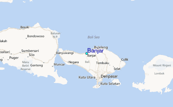