
| Distance / Altitude | Location | Report Date / Time | Live Weather | Wind | Gusts | Temp. | Visibility | Cloud |
|---|---|---|---|---|---|---|---|---|
| 65 km WSW / 26 m | Quezon City (Åland) | 2026-02-09 04:12 local (2026/02/08 20:12 GMT) | dry | wind obs. (10 kph from 333 degs) was rejected (- km/h at -) | 24°C | - | - - 0 | |
| 76 km SW / 217 m | Ninoy Aquino International Airport (Manila) (Philippines) | 2026-02-09 04:00 local (2026/02/08 20:00 GMT) | Dry and partly cloudy | calm (4 km/h at 1) | 25°C | 10.0 | few scattered broken | |
| 76 km SW / 22 m | Sucat (Philippines) | 2026-02-09 05:13 local (2026/02/08 21:13 GMT) | dry | moderate winds from the E (21 km/h at 101) | 24°C | - | - - 0 | |
| 76 km SW / 26 m | Paranaque (Philippines) | 2026-02-09 05:10 local (2026/02/08 21:10 GMT) | dry | light winds from the ENE (10 km/h at 61) | 25°C | - | - - 0 | |
| 123 km S / 6 m | Laiya (Philippines) | 2026-02-09 04:01 local (2026/02/08 20:01 GMT) | dry | - (- km/h at ) | — | - | - - 0 | |
| 125 km W / 584 m | Angeles/Pampanga Airport (Philippines) | 2026-02-09 04:00 local (2026/02/08 20:00 GMT) | Dry and partly cloudy | light winds from the NNW (19 km/h at 340) | 23°C | 10.0 | scattered broken | |
| 126 km WNW / 19 m | Santa Lucia wx (Philippines) | 2026-02-09 04:24 local (2026/02/08 20:24 GMT) | dry | calm (2 km/h at 132) | 22°C | - | - - 0 | |
| 151 km WSW / 452 m | Olongapo/Subic Bay Airport (Philippines) | 2026-02-09 04:00 local (2026/02/08 20:00 GMT) | Dry and partly cloudy | moderate winds from the NE (20 km/h at 50) | 24°C | 10.0 | few broken | |
| 338 km SE / 210 m | Macatan Airport (Philippines) | 2026-02-09 04:00 local (2026/02/08 20:00 GMT) | Dry and partly cloudy | wind obs. (6 kph from 330 degs) was rejected (- km/h at -) | 26°C | 10.0 | few broken | |
| 339 km NW / 5 m | Rugsuanan wx (Philippines) | 2026-02-09 04:38 local (2026/02/08 20:38 GMT) | - | - (- km/h at ) | 27°C | - | - - 0 |
| Contours: | Roads & Rivers: | Select a
tide station / surf break / city |
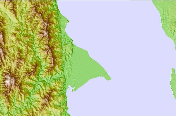
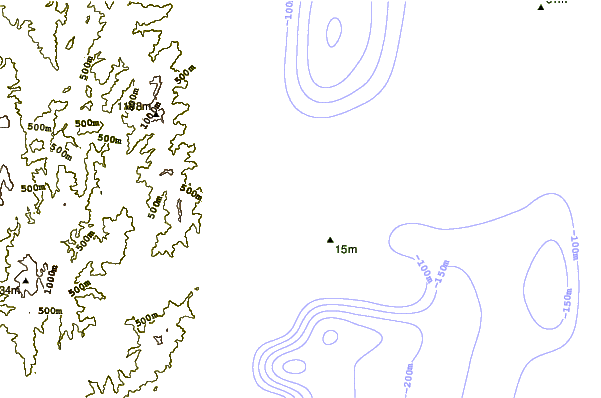
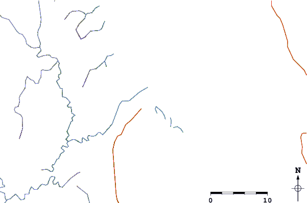
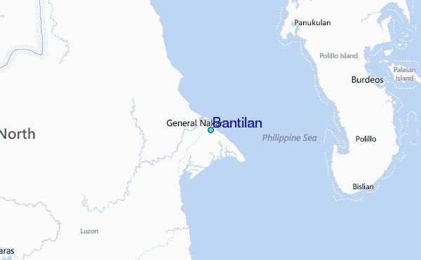
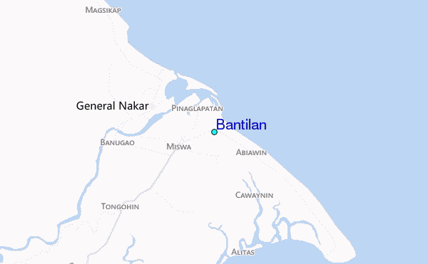
Use this relief map to navigate to tide stations, surf breaks and cities that are in the area of Bantilan.
Other Nearby Locations' tide tables and tide charts to Bantilan:
click location name for more details
 Surf breaks close to Bantilan:
|
||
|---|---|---|
| Closest surf break | Cobra Reef - Cemento | 70 mi |
| Second closest surf break | Baler - Sabang | 70 mi |
| Third closest surf break | Baler - Charlie's Point | 71 mi |
| Fourth closest surf break | Baler - Lindy's Point | 71 mi |
| Fifth closest surf break | Malaking Gasang (Baler) | 81 mi |


 Nearest