
| Distance / Altitude | Location | Report Date / Time | Live Weather | Wind | Gusts | Temp. | Visibility | Cloud |
|---|---|---|---|---|---|---|---|---|
| 1 km SE / 3 m | BUOY-NWPO3 (Marine) | 2026-05-23 09:00 local (2026/05/23 16:00 GMT) | light winds from the N (17 km/h at 350) | 10°C | - | |||
| 3 km ENE / 3 m | BUOY-SBEO3 (Marine) | 2026-05-23 08:48 local (2026/05/23 15:48 GMT) | - (- km/h at -) | — | - | |||
| 7 km SE / 219 m | Newport Airport (Oregon) | 2026-05-23 08:35 local (2026/05/23 15:35 GMT) | Mist - | light winds from the N (17 km/h at 350) | 10°C | 3 | overcast | |
| 9 km SW / 15 m | SHIP2670 (Marine) | 2026-05-23 08:00 local (2026/05/23 15:00 GMT) | moderate winds from the N (24.12 km/h at 350) | 9°C | - km | |||
| 13 km SW / 3 m | BUOY-46283 (Marine) | 2026-05-23 08:56 local (2026/05/23 15:56 GMT) | - (- km/h at -) | — | - | |||
| 9 km SW / 15 m | SHIP5683 (Marine) | 2026-05-23 08:00 local (2026/05/23 15:00 GMT) | moderate winds from the N (24.12 km/h at 350) | 9°C | - km | |||
| 9 km SW / - m | SHIP899 (ocean) | 2026-05-23 09:00 local (2026/05/23 16:00 GMT) | No report | fresh winds from the NNW (31 km/h at 340) | 10°C | - | no observation | |
| 9 km SW / 15 m | SHIP5375 (Marine) | 2026-05-23 09:00 local (2026/05/23 16:00 GMT) | fresh winds from the NNW (33.480000000000004 km/h at 340) | 9°C | - km | |||
| 9 km SW / - m | SHIP970 (ocean) | 2026-05-23 09:00 local (2026/05/23 16:00 GMT) | No report | fresh winds from the NNW (33 km/h at 340) | 10°C | - | no observation | |
| 13 km WNW / - m | SHIP4 (ocean) | 2026-05-23 08:00 local (2026/05/23 15:00 GMT) | No report | light winds from the NW (13 km/h at 320) | 10°C | - | no observation |
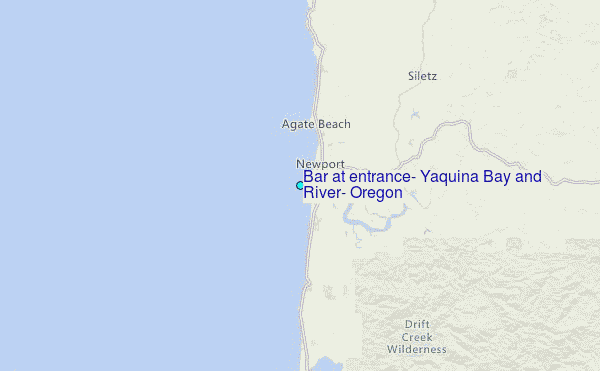
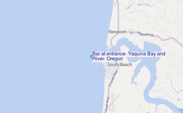
Choose Bar at entrance, Yaquina Bay and River, Oregon Location Map Zoom:
| Contours: | Roads & Rivers: | Select a
tide station / surf break / city |
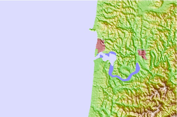
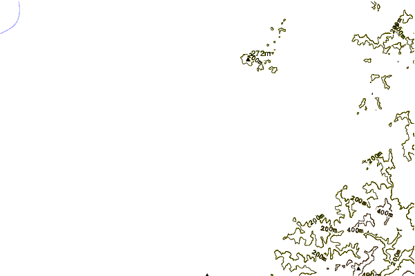
Use this relief map to navigate to tide stations, surf breaks and cities that are in the area of Bar at entrance, Yaquina Bay and River, Oregon.
Other Nearby Locations' tide tables and tide charts to Bar at entrance, Yaquina Bay and River, Oregon:
click location name for more details
 Surf breaks close to Bar at entrance, Yaquina Bay and River, Oregon:
|
||
|---|---|---|
| Closest surf break | Newport-The Box | 1 mi |
| Second closest surf break | Newport-South Beach | 1 mi |
| Third closest surf break | Agate Beach | 2 mi |
| Fourth closest surf break | Avalanche | 4 mi |
| Fifth closest surf break | North Agate | 4 mi |


 Nearest
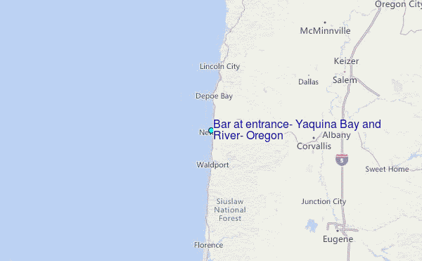