
| Distance / Altitude | Location | Report Date / Time | Live Weather | Wind | Gusts | Temp. | Visibility | Cloud |
|---|---|---|---|---|---|---|---|---|
| 91 km SSW / 203 m | Guantanamo Bay Airport (Cuba) | 2026-04-10 19:51 local (2026/04/10 23:51 GMT) | Dry and partly cloudy | light winds from the WNW (13 km/h at 300) | 25°C | 16 | few scattered scattered | |
| 195 km W / 208 m | Holguin Airport (Cuba) | 2026-04-10 19:50 local (2026/04/10 23:50 GMT) | - | light winds from the NE (15 km/h at 40) | — | 0.0 | ||
| 203 km WSW / 920 m | lightning 21km SE of Guisa (Cuba) | 2026-04-10 20:03 local (2026/04/11 00:03 GMT) | Thunderstorm | (- km/h at -) | — | |||
| 280 km NE / 296 m | Providenciales Airport (Bahamas) | 2026-04-10 19:00 local (2026/04/10 23:00 GMT) | Dry and partly cloudy | light winds from the NNW (9 km/h at 340) | 25°C | 10.0 | scattered | |
| 291 km ENE / 1 m | Kingston wx (Turks and Caicos Islands) | 2026-04-10 21:33 local (2026/04/11 01:33 GMT) | dry | light winds from the NE (8 km/h at 51) | 25°C | - | - - 0 | |
| 293 km E / 3 m | SHIP4632 (Marine) | 2026-04-10 20:00 local (2026/04/11 00:00 GMT) | - (- km/h at -) | 27°C | - | |||
| 293 km E / 3 m | SHIP2659 (Marine) | 2026-04-10 20:00 local (2026/04/11 00:00 GMT) | - (- km/h at -) | 27°C | - | |||
| 293 km E / 3 m | SHIP1331 (Marine) | 2026-04-10 20:00 local (2026/04/11 00:00 GMT) | - (- km/h at -) | 27°C | - | |||
| 293 km E / 15 m | SHIP2395 (Marine) | 2026-04-10 20:00 local (2026/04/11 00:00 GMT) | - (- km/h at -) | — | - km | |||
| 293 km E / 3 m | SHIP6001 (Marine) | 2026-04-10 20:00 local (2026/04/11 00:00 GMT) | - (- km/h at -) | 27°C | - |
| Contours: | Roads & Rivers: | Select a
tide station / surf break / city |
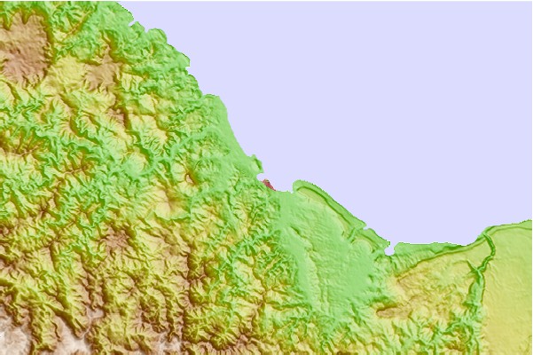
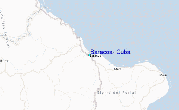
Use this relief map to navigate to tide stations, surf breaks and cities that are in the area of Baracoa, Cuba.
Other Nearby Locations' tide tables and tide charts to Baracoa, Cuba:
click location name for more details
 Surf breaks close to Baracoa, Cuba:
|
||
|---|---|---|
| Closest surf break | Grace Bay Cut (Providenciales) | 178 mi |
| Second closest surf break | Fort George Cut (Pine Cay) | 185 mi |
| Third closest surf break | Pine Cay Shorebreak | 186 mi |
| Fourth closest surf break | Winnifred Beach | 194 mi |
| Fifth closest surf break | Boston Bay | 195 mi |


 Nearest
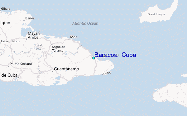