
| Distance / Altitude | Location | Report Date / Time | Live Weather | Wind | Gusts | Temp. | Visibility | Cloud |
|---|---|---|---|---|---|---|---|---|
| 19 km S / 3 m | BUOY-SAXG1 (Marine) | 2026-04-03 21:00 local (2026/04/04 01:00 GMT) | light winds from the ESE (9 km/h at 110) | 21°C | - | |||
| 38 km ESE / - m | SHIP900 (ocean) | 2026-04-03 22:00 local (2026/04/04 02:00 GMT) | - | light winds from the E (7 km/h at 80) | 20°C | - | no observation | |
| 40 km ESE / 3 m | Grays Reef Buoy (Marine) | 2026-04-03 22:00 local (2026/04/04 02:00 GMT) | calm (4 km/h at 80) | 20°C | - | |||
| 43 km S / 217 m | Brunswick Golden Isles Airport (Georgia) | 2026-04-03 21:35 local (2026/04/04 01:35 GMT) | Clear | light winds from the E (9 km/h at 100) | 21°C | 16 | ||
| 45 km WNW / 214 m | Fort Stewart/Wright Army Airfield Airport (Georgia) | 2026-04-03 20:55 local (2026/04/04 00:55 GMT) | - | light winds from the E (6 km/h at 100) | 21°C | 16 | few | |
| 38 km ESE / - m | SHIP356 (ocean) | 2026-04-03 21:00 local (2026/04/04 01:00 GMT) | - | light winds from the ENE (11 km/h at 70) | 20°C | - | no observation | |
| 38 km ESE / - m | SHIP1202 (ocean) | 2026-04-03 22:00 local (2026/04/04 02:00 GMT) | - | light winds from the E (7 km/h at 80) | 20°C | - | no observation | |
| 38 km ESE / - m | SHIP423 (ocean) | 2026-04-03 21:00 local (2026/04/04 01:00 GMT) | - | light winds from the E (11 km/h at 80) | 20°C | - | no observation | |
| 38 km ESE / - m | SHIP92 (ocean) | 2026-04-03 21:00 local (2026/04/04 01:00 GMT) | - | light winds from the ENE (11 km/h at 70) | 20°C | - | no observation | |
| 38 km ESE / - m | SHIP190 (ocean) | 2026-04-03 21:00 local (2026/04/04 01:00 GMT) | - | light winds from the E (11 km/h at 80) | 20°C | - | no observation |
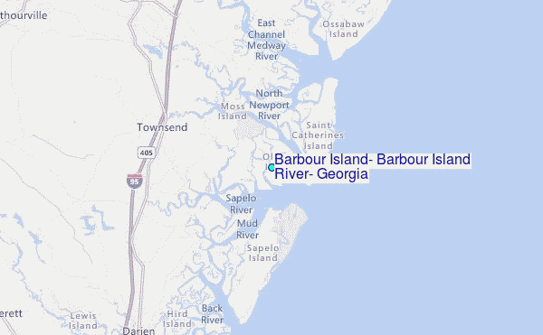
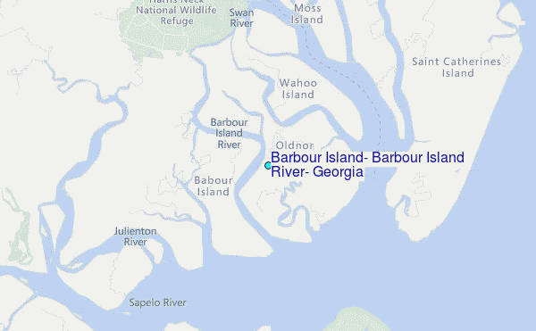
Choose Barbour Island, Barbour Island River, Georgia Location Map Zoom:
| Contours: | Roads & Rivers: | Select a
tide station / surf break / city |
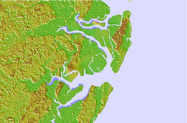
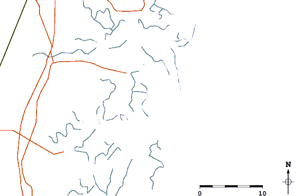
Use this relief map to navigate to tide stations, surf breaks and cities that are in the area of Barbour Island, Barbour Island River, Georgia.
Other Nearby Locations' tide tables and tide charts to Barbour Island, Barbour Island River, Georgia:
click location name for more details
 Surf breaks close to Barbour Island, Barbour Island River, Georgia:
|
||
|---|---|---|
| Closest surf break | Sea Island | 29 mi |
| Second closest surf break | Goulds Inlet | 30 mi |
| Third closest surf break | St Simons Island | 32 mi |
| Fourth closest surf break | Coastguard/St Simons | 32 mi |
| Fifth closest surf break | 5th and 7th Streets | 35 mi |


 Nearest
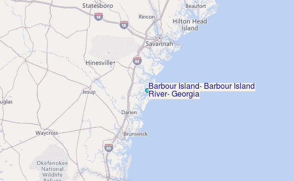