
| Distance / Altitude | Location | Report Date / Time | Live Weather | Wind | Gusts | Temp. | Visibility | Cloud |
|---|---|---|---|---|---|---|---|---|
| 8 km ENE / 3 m | BUOY-PTLA2 (Marine) | 2025-12-25 03:32 local (2025/12/25 12:32 GMT) | light winds from the S (9 km/h at 170) | -8°C | - | |||
| 8 km S / 3 m | BUOY-NKXA2 (Marine) | 2025-12-25 03:32 local (2025/12/25 12:32 GMT) | moderate winds from the ENE (21 km/h at 70) | -6°C | - | |||
| 11 km NW / 3 m | BUOY-PRTA2 (Marine) | 2025-12-25 03:10 local (2025/12/25 12:10 GMT) | light winds from the SSE (11 km/h at 150) | -8°C | - | |||
| 14 km ENE / 28 m | Auke Bay wx (United States) | 2025-12-25 03:23 local (2025/12/25 12:23 GMT) | - | calm (0 km/h at 0) | -14°C | - | - - 0 | |
| 15 km ENE / 3 m | BUOY-ABYA2 (Marine) | 2025-12-25 02:52 local (2025/12/25 11:52 GMT) | - (0 km/h at -) | -13°C | - | |||
| 15 km ENE / 3 m | BUOY-SRXA2 (Marine) | 2025-12-25 03:32 local (2025/12/25 12:32 GMT) | light winds from the N (11 km/h at 360) | -13°C | - | |||
| 16 km ENE / 3 m | BUOY-MVXA2 (Marine) | 2025-12-25 03:32 local (2025/12/25 12:32 GMT) | calm (4 km/h at 60) | -17°C | - | |||
| 18 km SE / 3 m | BUOY-SCXA2 (Marine) | 2025-12-25 03:32 local (2025/12/25 12:32 GMT) | fresh winds from the SE (33 km/h at 130) | -10°C | - | |||
| 18 km ENE / 214 m | Juneau Airport (Alaska) | 2025-12-25 01:53 local (2025/12/25 10:53 GMT) | Clear | calm (0 km/h at 0) | -17°C | 16 | ||
| 19 km S / 3 m | BUOY-RIXA2 (Marine) | 2025-12-25 03:32 local (2025/12/25 12:32 GMT) | fresh winds from the N (35 km/h at 10) | -5°C | - |
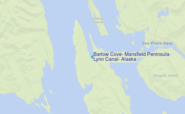
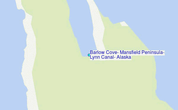
Choose Barlow Cove, Mansfield Peninsula, Lynn Canal, Alaska Location Map Zoom:
| Contours: | Roads & Rivers: | Select a
tide station / surf break / city |
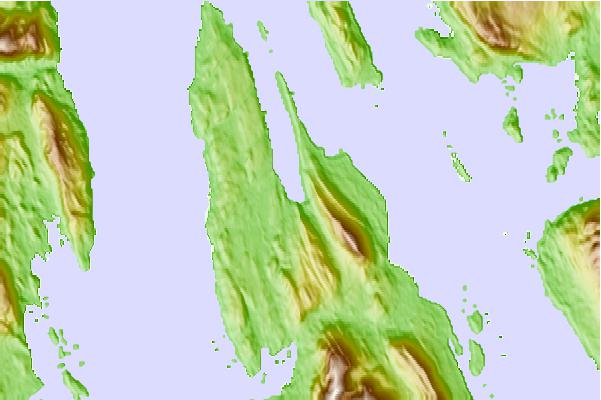
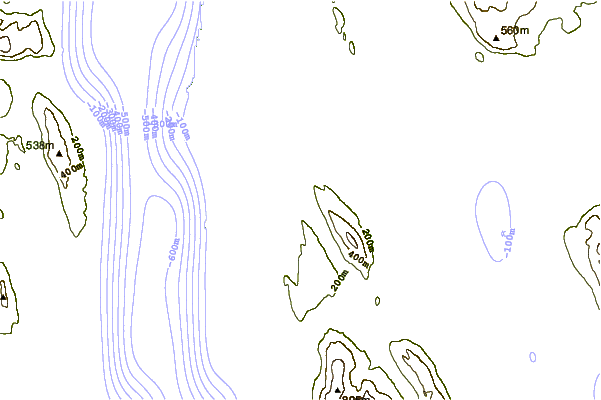
Use this relief map to navigate to tide stations, surf breaks and cities that are in the area of Barlow Cove, Mansfield Peninsula, Lynn Canal, Alaska.
Other Nearby Locations' tide tables and tide charts to Barlow Cove, Mansfield Peninsula, Lynn Canal, Alaska:
click location name for more details
 Surf breaks close to Barlow Cove, Mansfield Peninsula, Lynn Canal, Alaska:
|
||
|---|---|---|
| Closest surf break | Cannon Beach | 193 mi |
| Second closest surf break | Graveyards | 195 mi |
| Third closest surf break | Ocean Cape | 197 mi |
| Fourth closest surf break | Lepus Beach (Haida-Gwaii) | 296 mi |
| Fifth closest surf break | Tow Hill Beach | 316 mi |


 Nearest
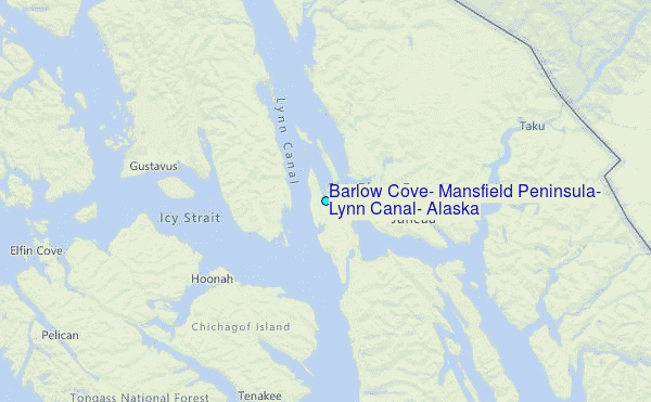