
| Distance / Altitude | Location | Report Date / Time | Live Weather | Wind | Gusts | Temp. | Visibility | Cloud |
|---|---|---|---|---|---|---|---|---|
| 6 km SSE / 217 m | Hyannis Airport (Massachusetts) | 2026-07-07 11:22 local (2026/07/07 15:22 GMT) | Moderate rain | light winds from the E (19 km/h at 80) | 19°C | 5 | overcast | |
| 14 km NW / 3 m | Cape Cod Bay- MA (Marine) | 2026-07-07 12:00 local (2026/07/07 16:00 GMT) | - (- km/h at -) | — | - | |||
| 22 km SW / 219 m | Falmouth/Otis Air Base Airport (Massachusetts) | 2026-07-07 10:56 local (2026/07/07 14:56 GMT) | Moderate rain | moderate winds from the ENE (28 km/h at 60) | 23°C | 5 | overcast | |
| 24 km S / 3 m | Nantucket Sound Buoy (Marine) | 2026-07-07 12:10 local (2026/07/07 16:10 GMT) | strong winds from the ENE (43 km/h at 70) | 19°C | - | |||
| 24 km E / 218 m | Chatham Airport (Massachusetts) | 2026-07-07 10:52 local (2026/07/07 14:52 GMT) | Moderate rain | moderate winds from the E.(Wind varies from 005 to 009 degs) (22 km/h at 80) | 18°C | 5 | overcast | |
| 26 km SSW / 3 m | BUOY-WAXM3 (Marine) | 2026-07-07 12:00 local (2026/07/07 16:00 GMT) | light winds from the E (8 km/h at 100) | 19°C | - | |||
| 28 km W / 28 m | Wareham (Massachusetts) | 2026-07-07 12:38 local (2026/07/07 16:38 GMT) | - | wind obs. (8 kph from 351 degs) was rejected (- km/h at -) | 18°C | - | - - 0 | |
| 28 km WSW / 4 m | Pocasset (Massachusetts) | 2026-07-07 12:42 local (2026/07/07 16:42 GMT) | light rain | calm (3 km/h at 66) | 18°C | - | - - 0 | |
| 31 km W / 15 m | E. Wareham (Massachusetts) | 2026-07-07 12:24 local (2026/07/07 16:24 GMT) | dry | wind obs. (8 kph from 2 degs) was rejected (- km/h at -) | 19°C | - | - - 0 | |
| 38 km WSW / 3 m | Wareham (Massachusetts) | 2026-07-07 12:23 local (2026/07/07 16:23 GMT) | light rain | light winds from the NE (6 km/h at 44) | 19°C | - | - - 0 |
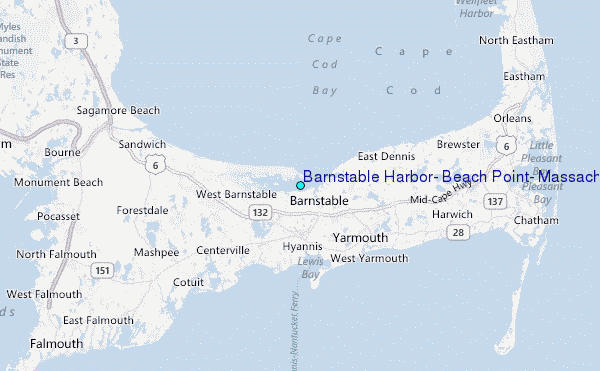
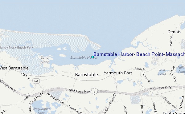
Choose Barnstable Harbor, Beach Point, Massachusetts Location Map Zoom:
| Contours: | Roads & Rivers: | Select a
tide station / surf break / city |
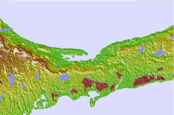
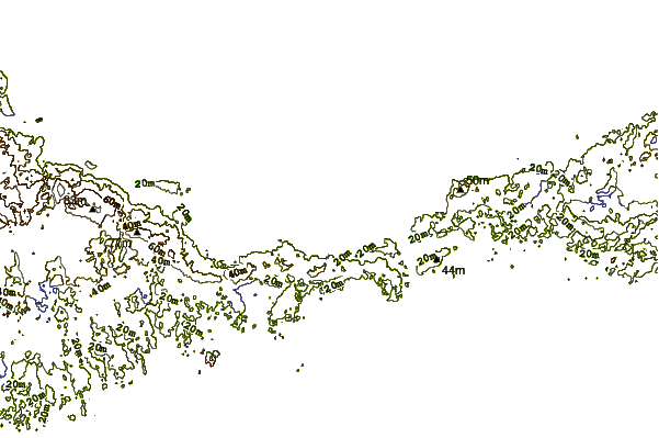
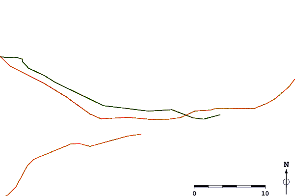
Use this relief map to navigate to tide stations, surf breaks and cities that are in the area of Barnstable Harbor, Beach Point, Massachusetts.
Other Nearby Locations' tide tables and tide charts to Barnstable Harbor, Beach Point, Massachusetts:
click location name for more details
 Surf breaks close to Barnstable Harbor, Beach Point, Massachusetts:
|
||
|---|---|---|
| Closest surf break | Nauset Light Beach | 19 mi |
| Second closest surf break | Coastguard Beach | 19 mi |
| Third closest surf break | Nauset Beach | 19 mi |
| Fourth closest surf break | Marconis Beach | 21 mi |
| Fifth closest surf break | Lecount Hollow | 21 mi |


 Nearest
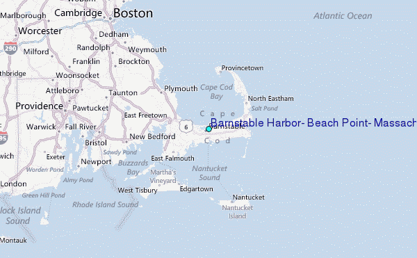